Almost every year for the last 20, we and a group of friends have taken a late August multi-day trek. Over the years we have hiked in areas whose beauty would have remain hidden to us had we not shouldered a backpack and put in the hard work to experience them. Through our efforts we have explored Alaska’s Brooks Range (twice), Colorado’s Maroon Bells traverse, Montana’s Chinese Wall, Wind River Range, WY (twice), Canada’s Mt. Assiniboine, Paint Pots and West Coast Trails, Inca Trail and so on. We feel very lucky to have collected these memories.
Earlier this year another August backpack plan was hatched but with less lofty goals. You see, over the years our group has aged. At 69, John and I are at the younger end of the group, several are in their early to late 70’s but our route planner is 80. He has been at this mountain climbing, long distance backpacking, world travel business for over 60 years, long before social media enticed the masses into the world. Recent trips have become a little more challenging for him (and for us too), so this year our goals included low daily mileage and ascents-descents capped at 500′. The challenge would come in elevation, which would be high, at least for those of us who originate at 900′.
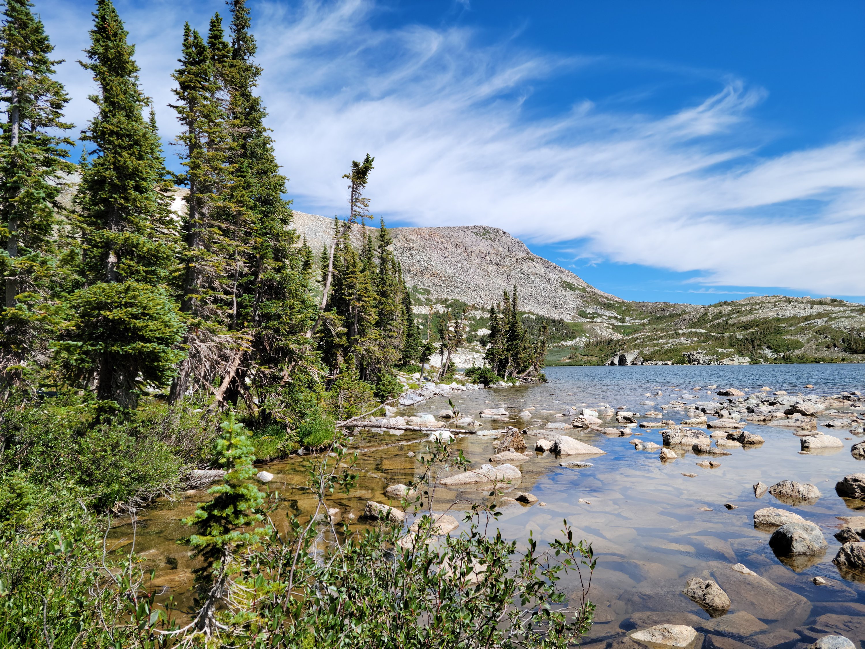
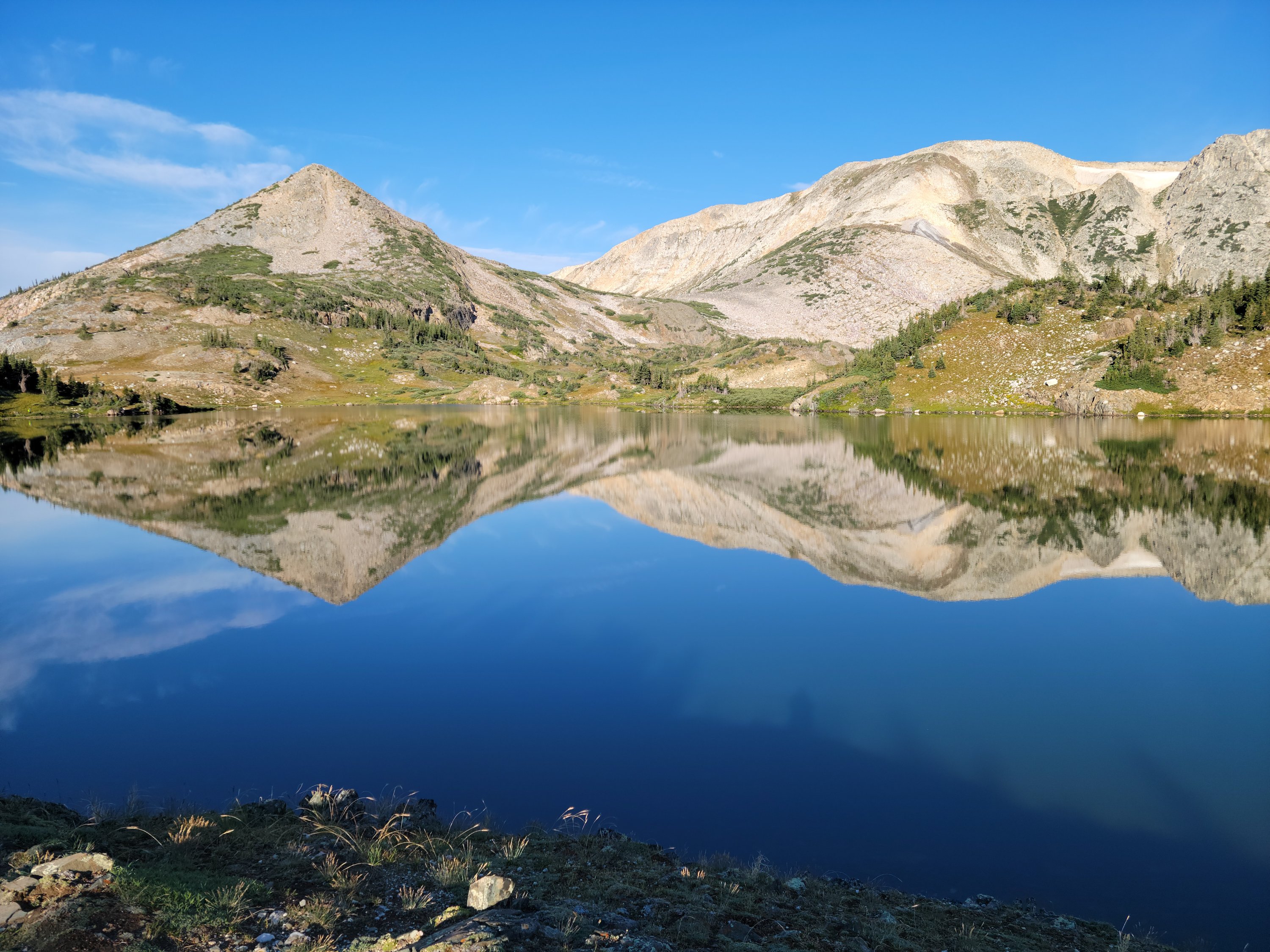
Our destination was The Medicine Bow Mountains, a range that stretches 100 miles between northern Colorado and southern Wyoming. Specifically, we were headed to The Snowy Mountains, a subrange northwest of Centennial, WY. The planned semi-circle hike began at Lewis Lake (10,760′) and finished at Mirror Lake. We would be between 10,500′ and 11,200′ the entire time.
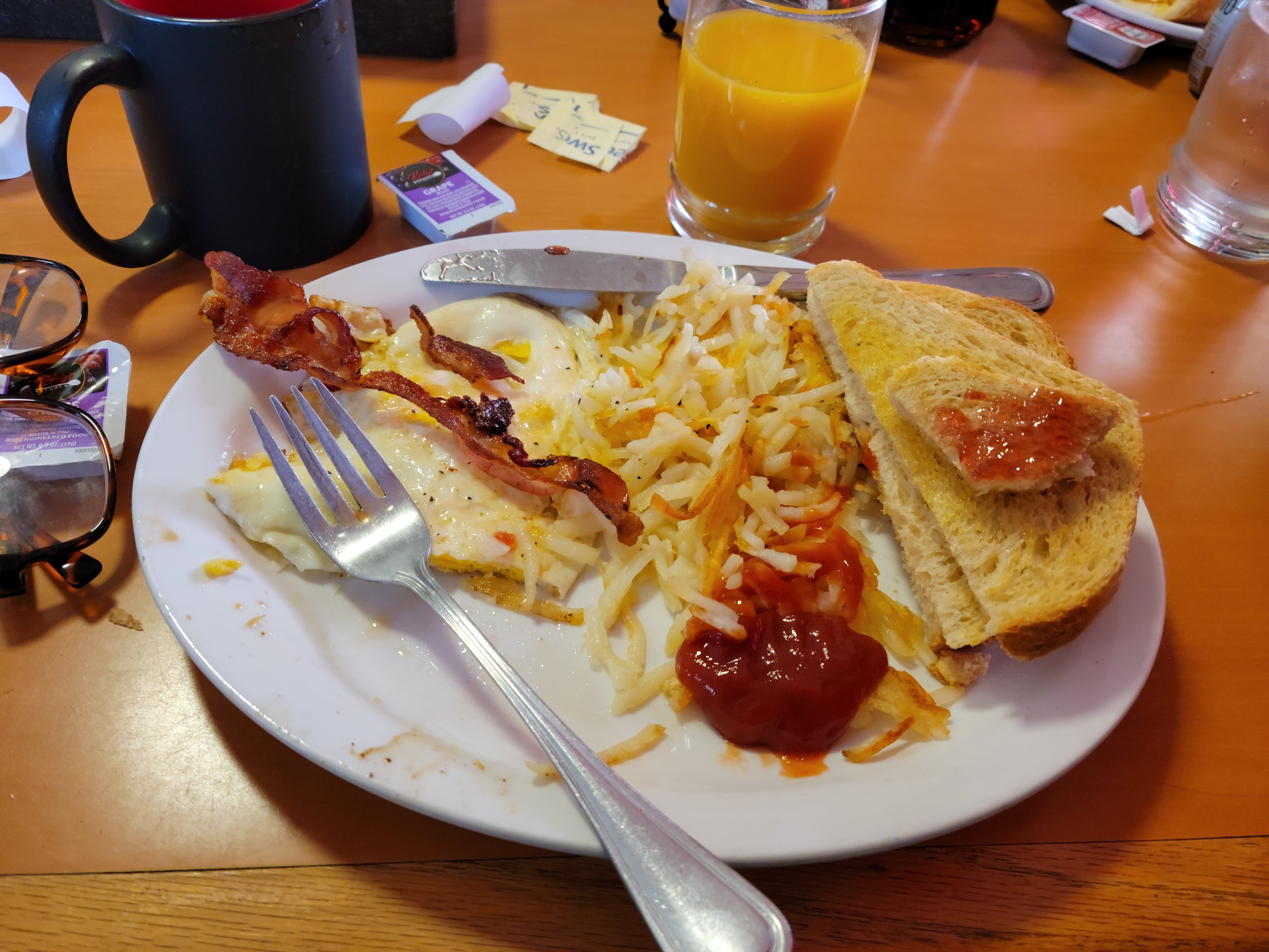
The total hike was only 14 miles to be completed in five nights/six days with two layover days for exploring. The biggest weakness in the plan was that the last night would be spent about 1/2-mile from (one of) our cars at the beginning point, Lewis Lake. The question was, would we be able to hike past our car and the possibility of a big, hot breakfast at Bear Butt Bar and Grill in Centennial to reach our 2nd car at Mirror Lake (some 2-3 miles away) or would we bail on the hike and head to breakfast.
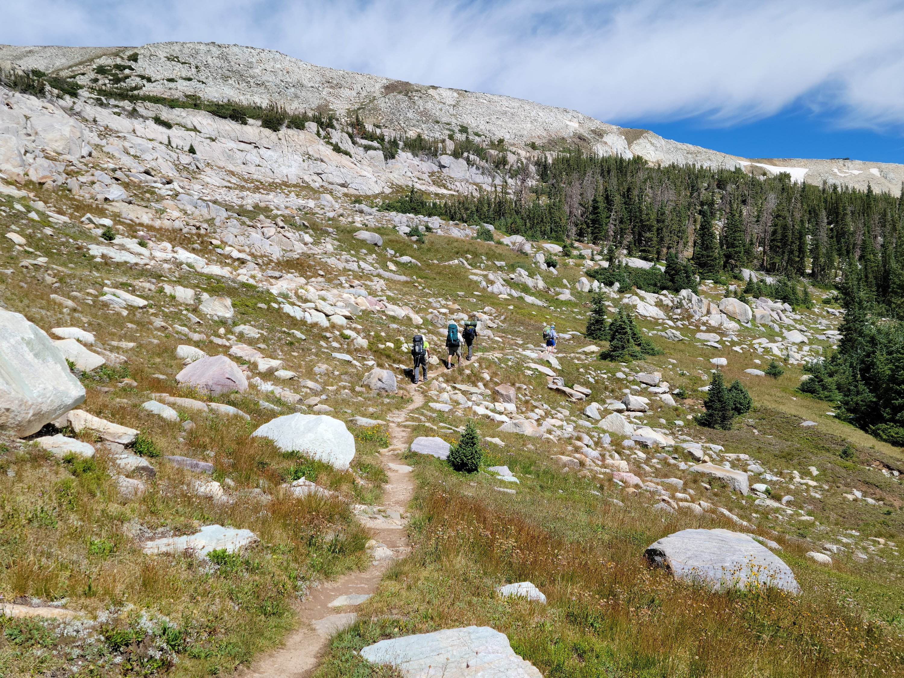
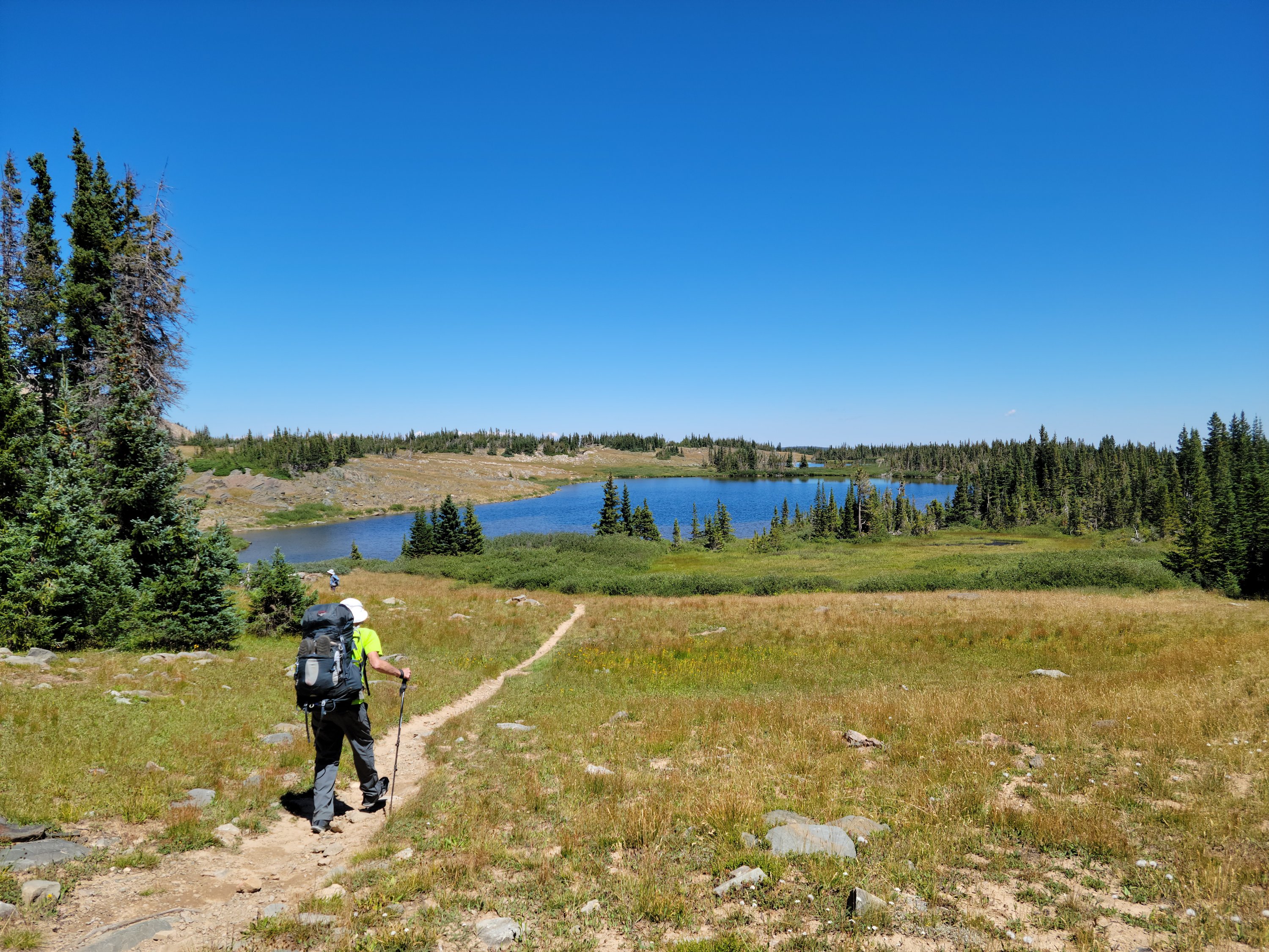
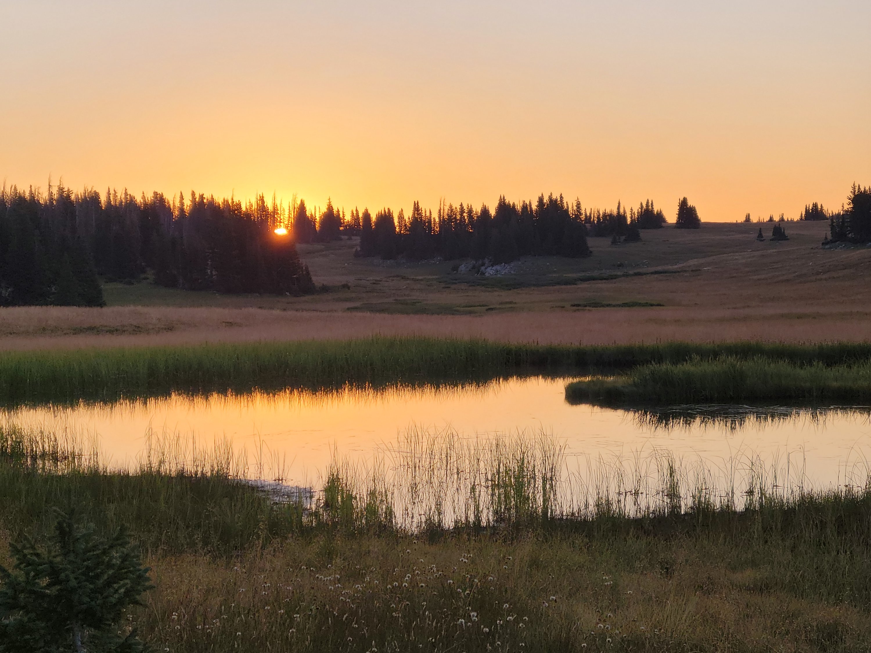
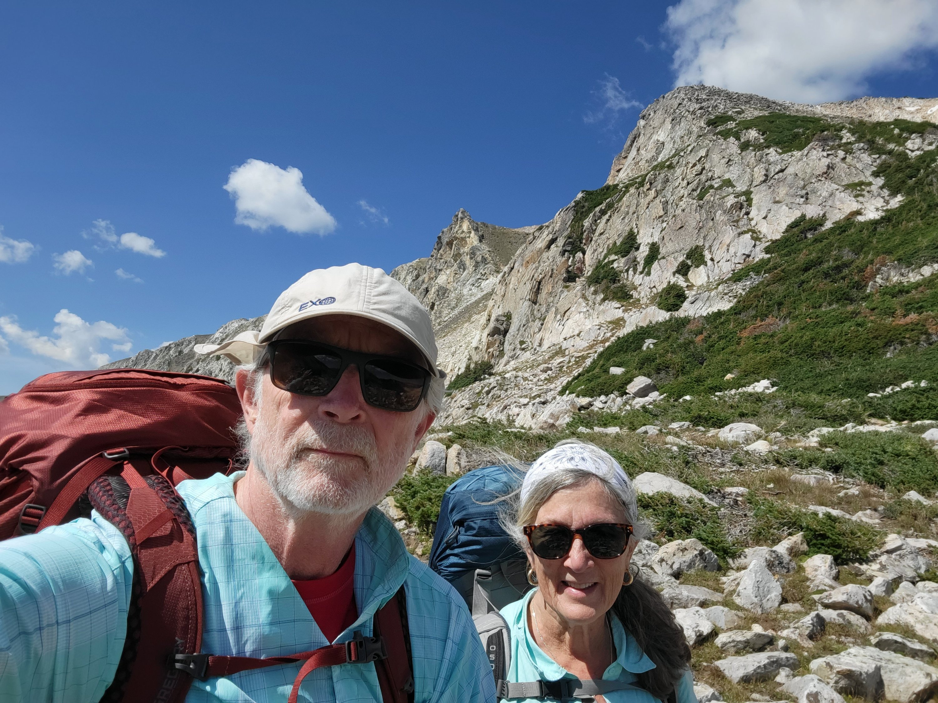
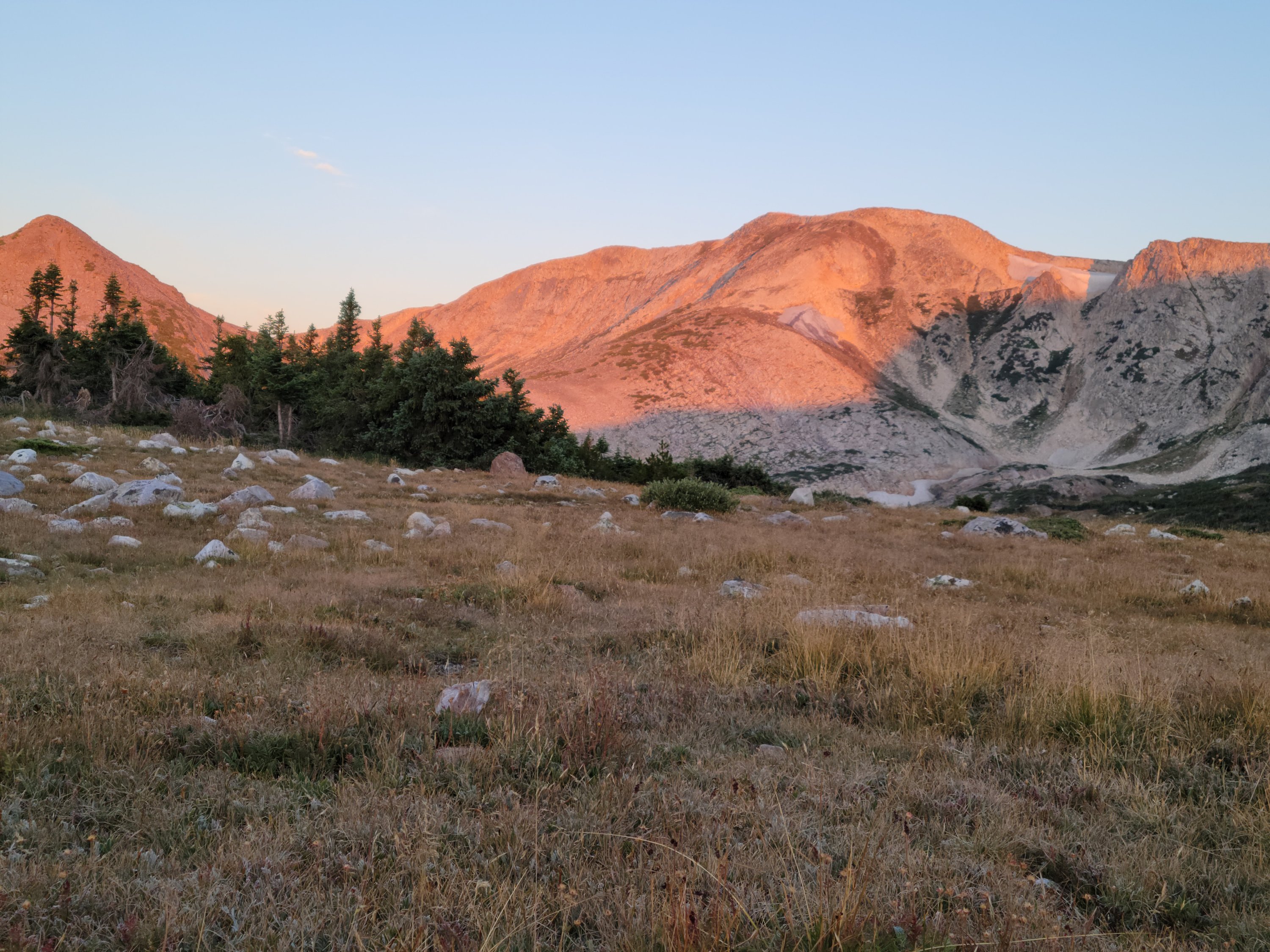
Our adventure began at Lost Lake trailhead after an oversized breakfast at Bear Butt in Centennial and a car shuttle. The day was blue bird quality with the kind of rich blue skies that can only be found in the west. Wispy cottony, white clouds floated above the mountains. A brisk breeze neutralized the heat from a sun that is intense at higher elevations. The scenery was spectacular, mountains, rocks and spruce trees. Doesn’t get any better than this.
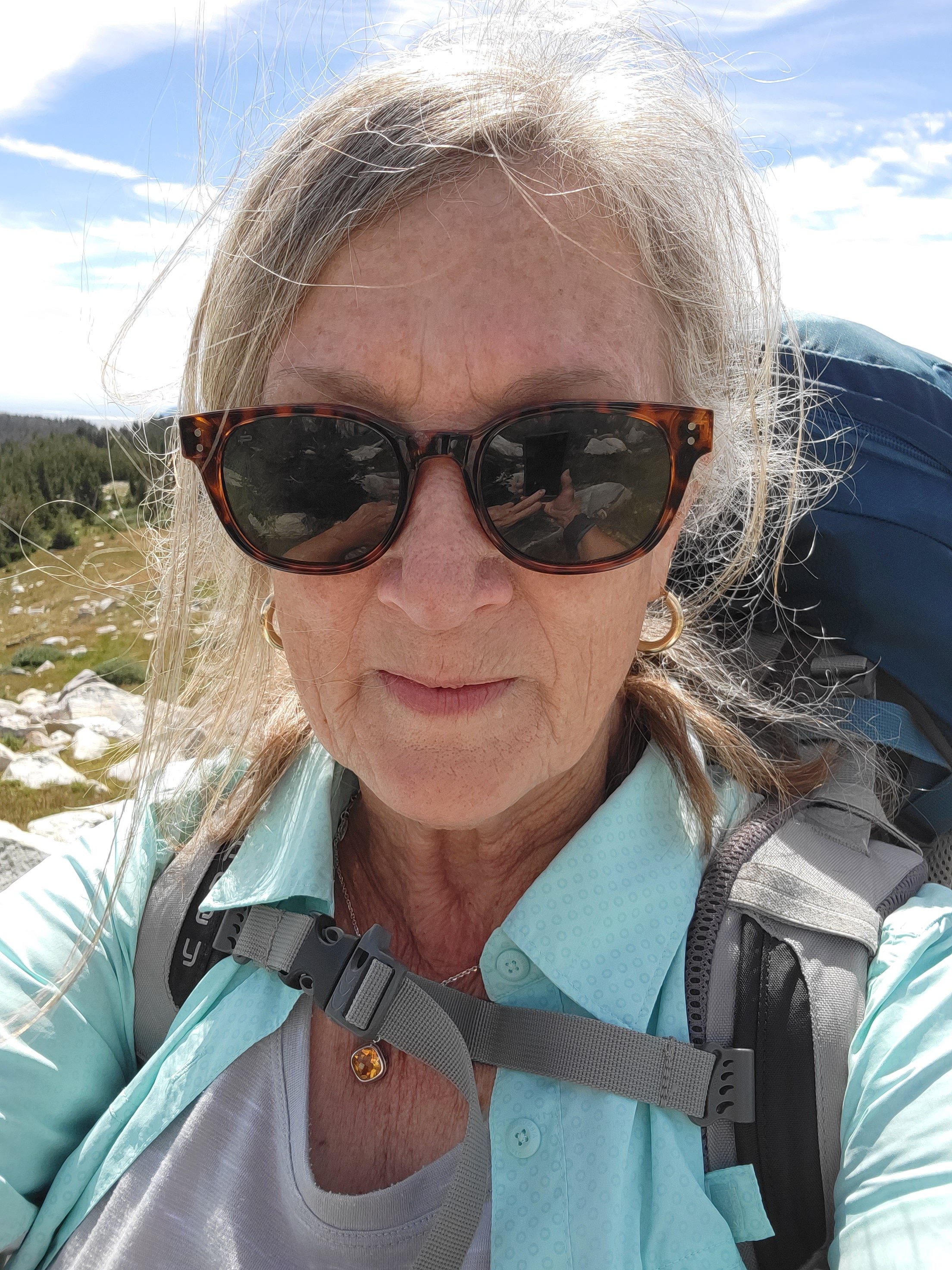
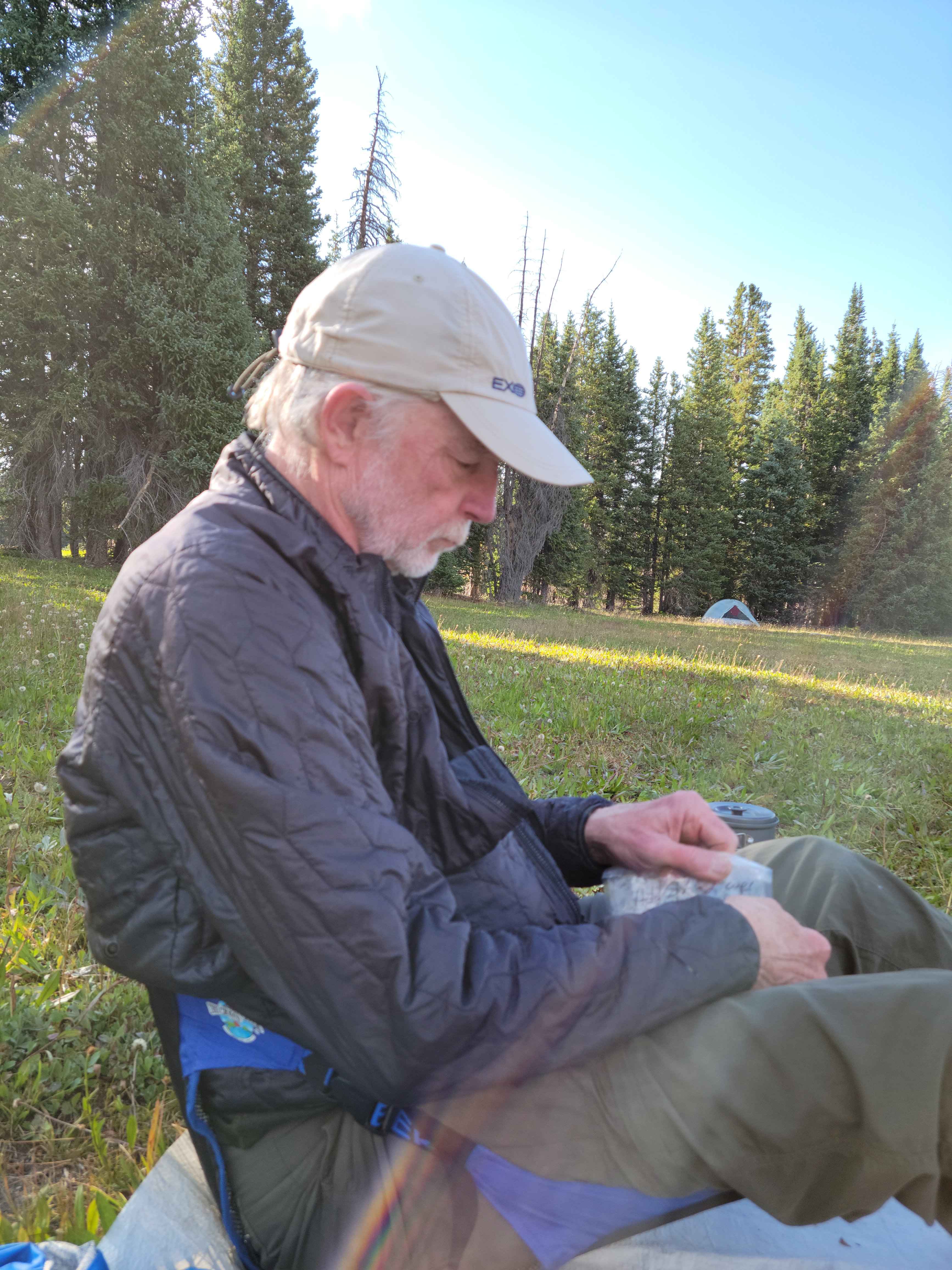
With several pre-hike nights spent in Denver, Boulder and Centinnial, I had acclimated better than expected. My breathing was a little rough but I could still push uphill with my pack, stopping only occasionally to rest. Besides, stopping to rest is always a good excuse to take photos, right!?
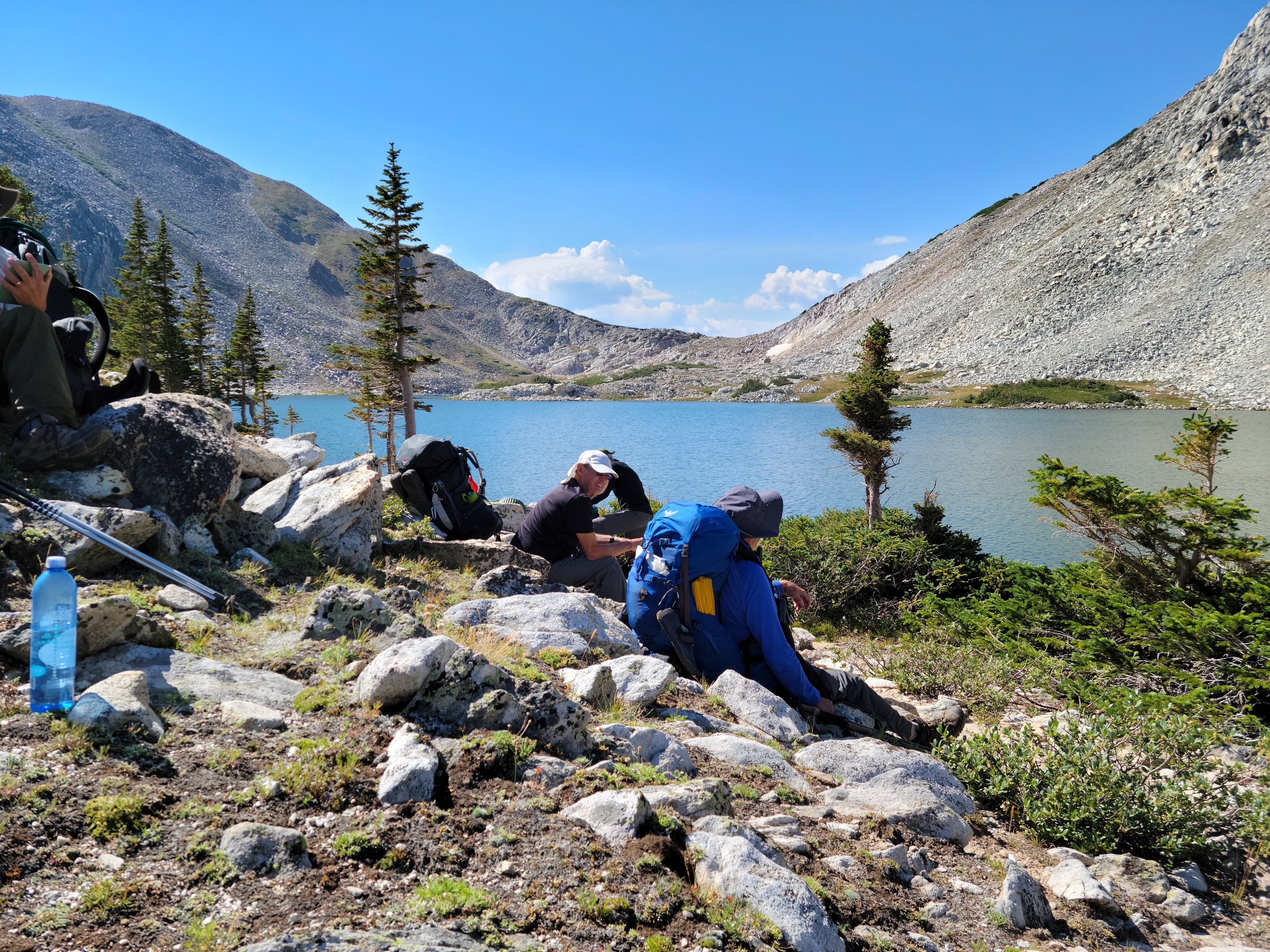
After a little more than an hour’s hiking, we stopped at Lost Lake to have lunch and give everyone a chance to re-group. We had covered a short 2.06-miles, gained almost 400′ in elevation and had another mile or so before reaching the designated campsite. Note: campsites had been selected by reading a contour map in Knoxville and attempting to determine a flat area with probable water. These selections do not always work out
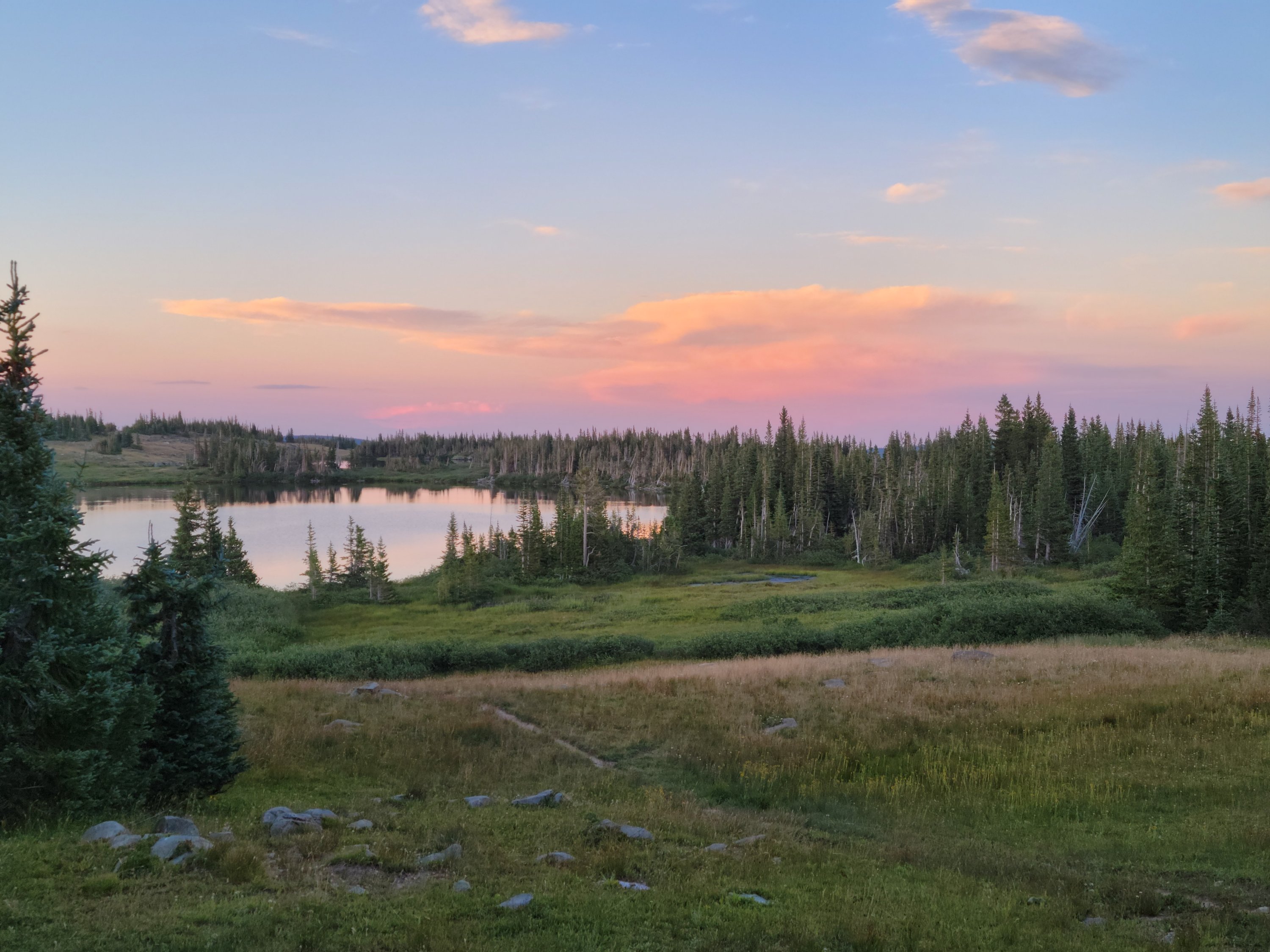
Our last hiker was almost an hour behind John and me, who were fifth and sixth to arrive at Lost Lake. Based on the issues Will was having, the determination was made to set up camp exactly where we were. So, here we were at Lost Lake, elevation 10,900′ and it was shortly after 1:00 pm.
John and I spent the afternoon trying to stay awake so we could sleep overnight. I wrote in my journal and John read. Others made the choice to sleep, read and Bob, our fisherman, went fishing. I think he caught and released some 7-8 brook trout. The lazy afternoon drifted by. As the sun began to drop, so did the temperature. We were all in our tents by 8:00 pm, bracing ourselves against the high 30°’s that came with darkness. We will not see these temperatures in Knoxville for another three, almost four months. Brrrr.
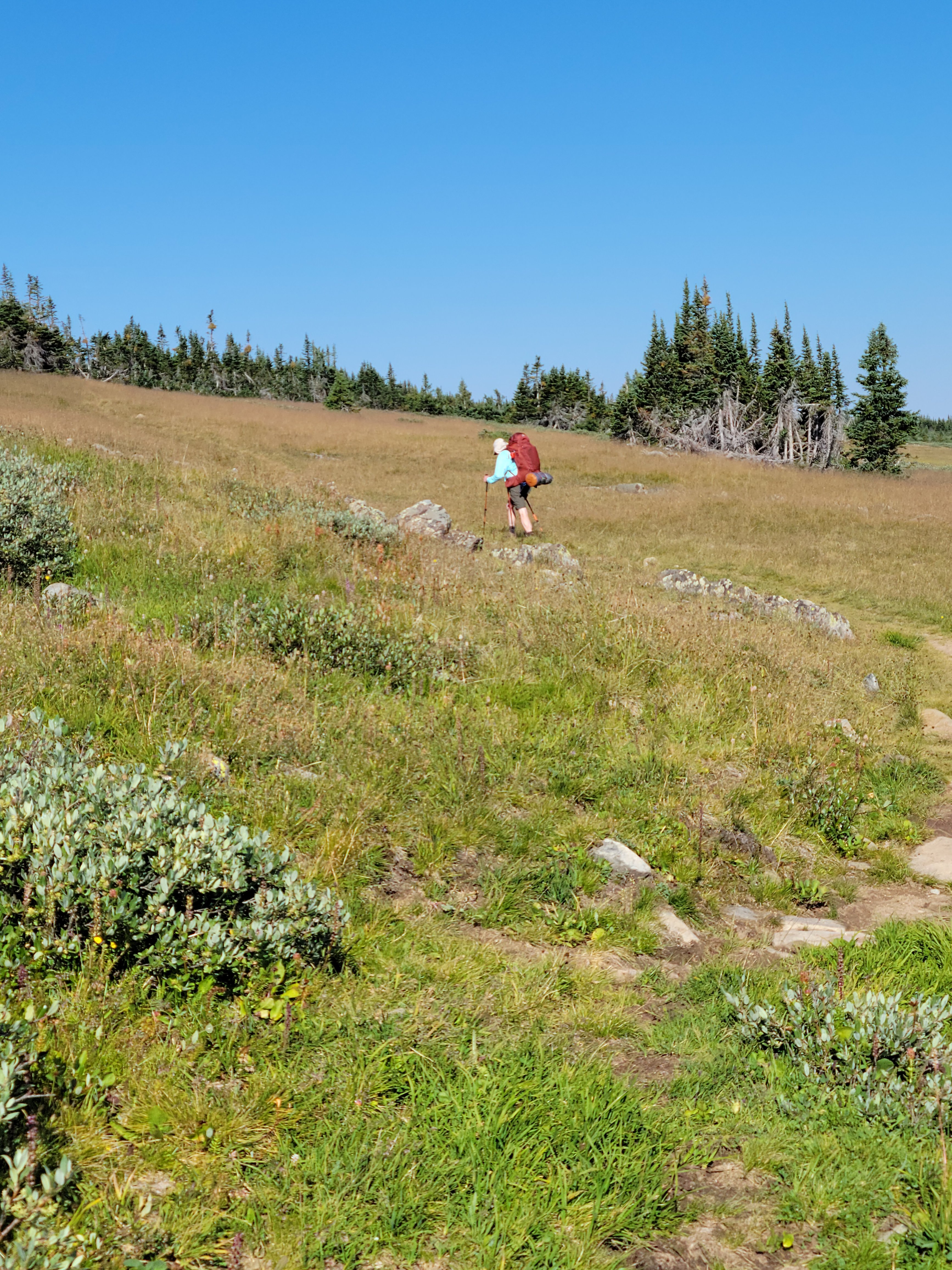
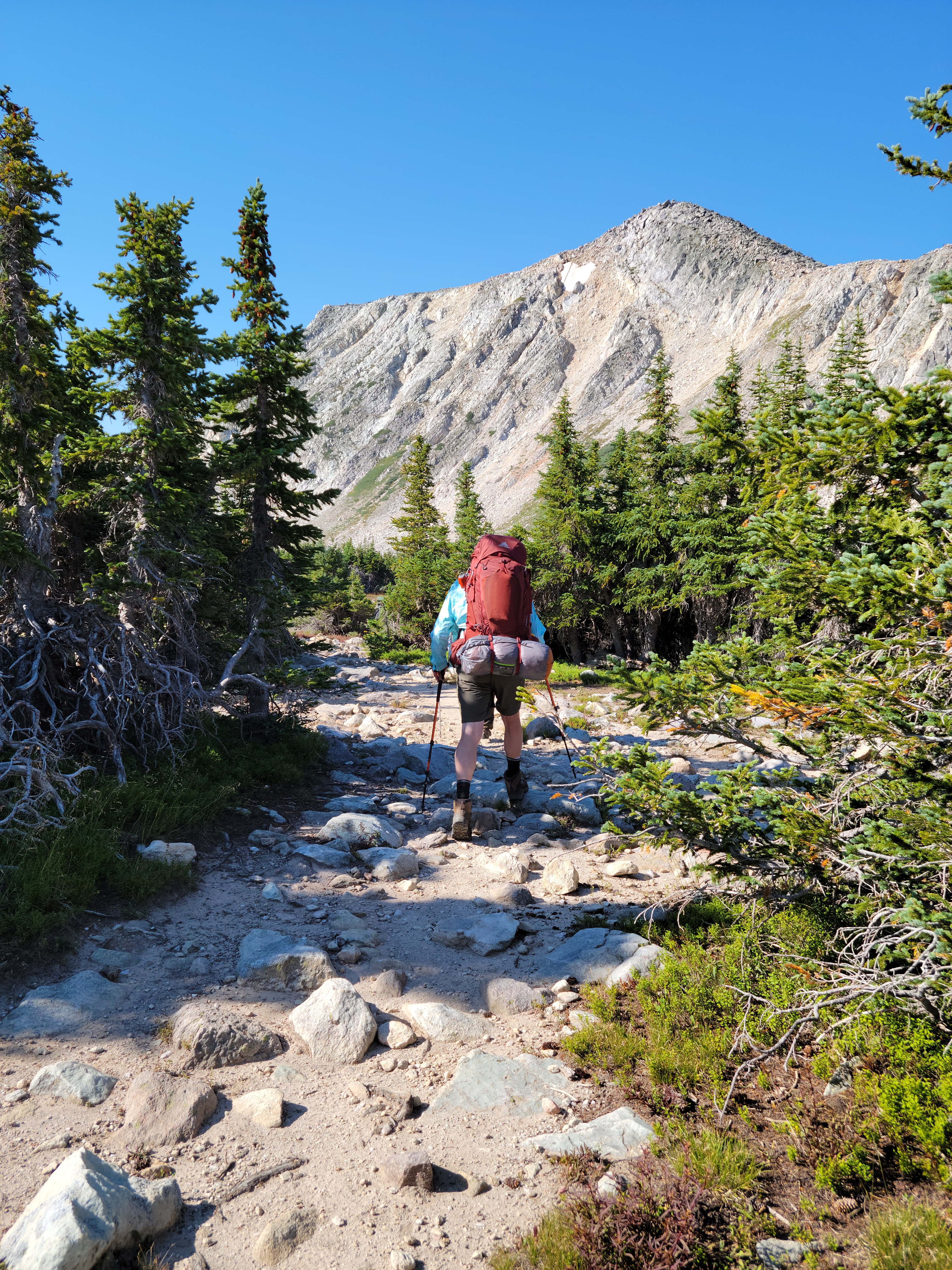
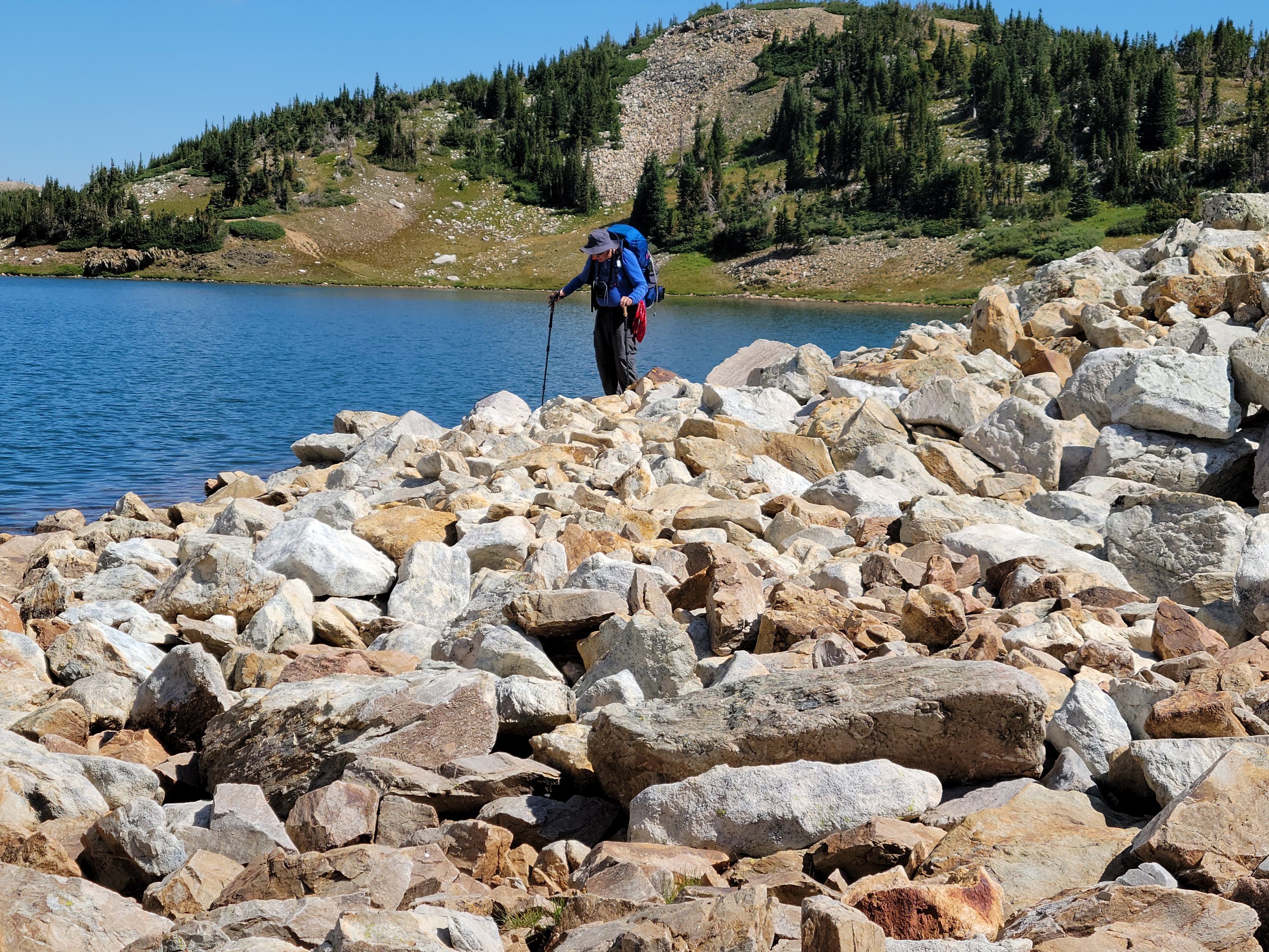
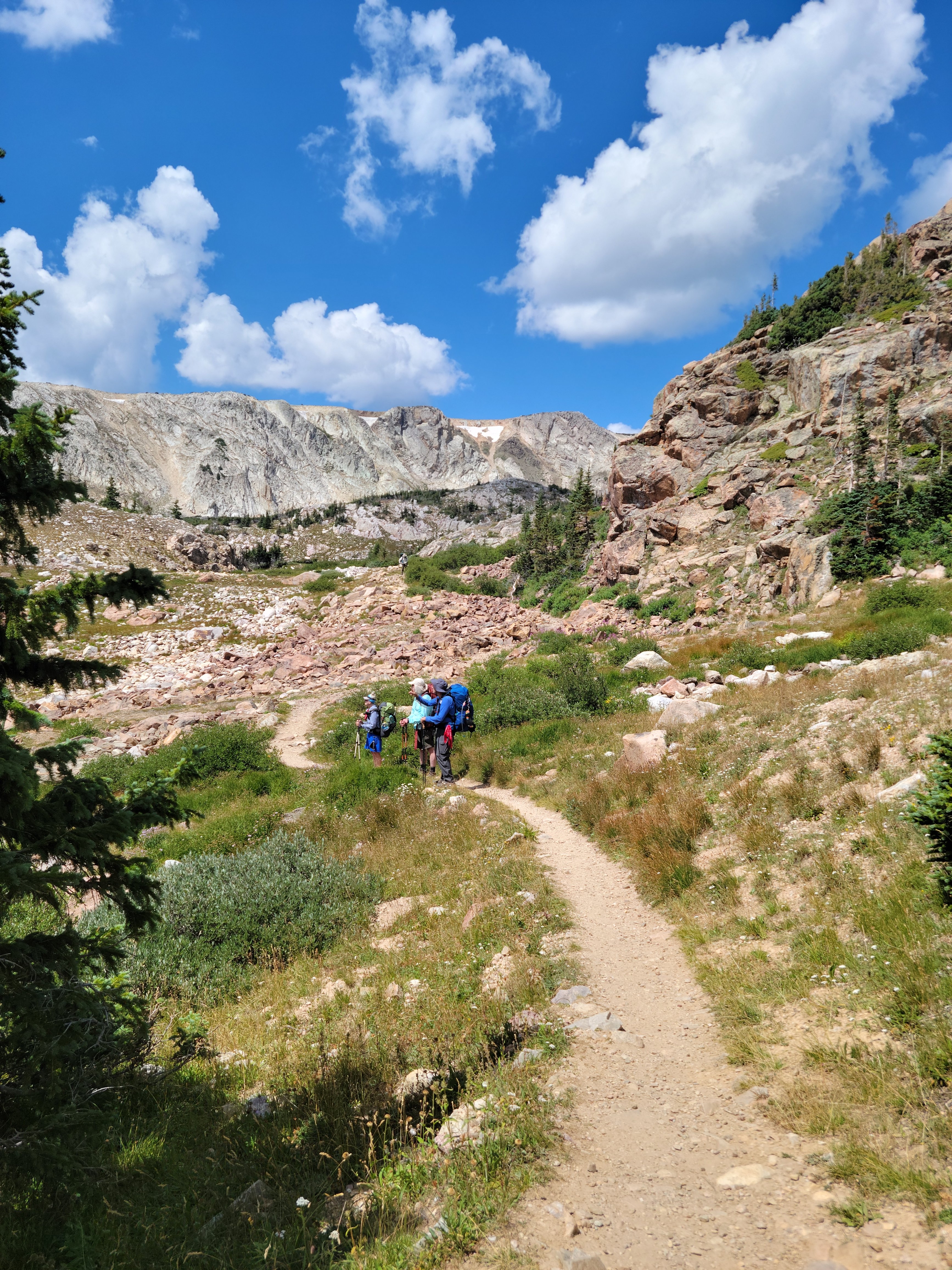
Day 2, Wednesday, August 17 was hard. We relaxed at breakfast luxuriating in two-cups of coffee. Shame on us, we didn’t get on the trail till almost 10:00 AM. The trail began downhill but soon became undulating with a rocky surface. The climbs were challenging, and the elevation averaged around 10,600′. I stumbled a bit and had to watch my steps carefully.
Our route took us from Lost Lake Trail, through Brooklyn Lake Campground (car camping) onto Sheep’s Lake Trail where we stopped at Twin Lakes for our second night. I noted in my journal this night, “subject to change, we will hike to Sheep’s Lake tomorrow. If I cannot develop more strength in my legs, this will be my final backpack.” Clearly my pre-trip preparation was not enough. With 3.65- miles hiked in 2.35 hours and 400′ ascended, we have fallen behind schedule.
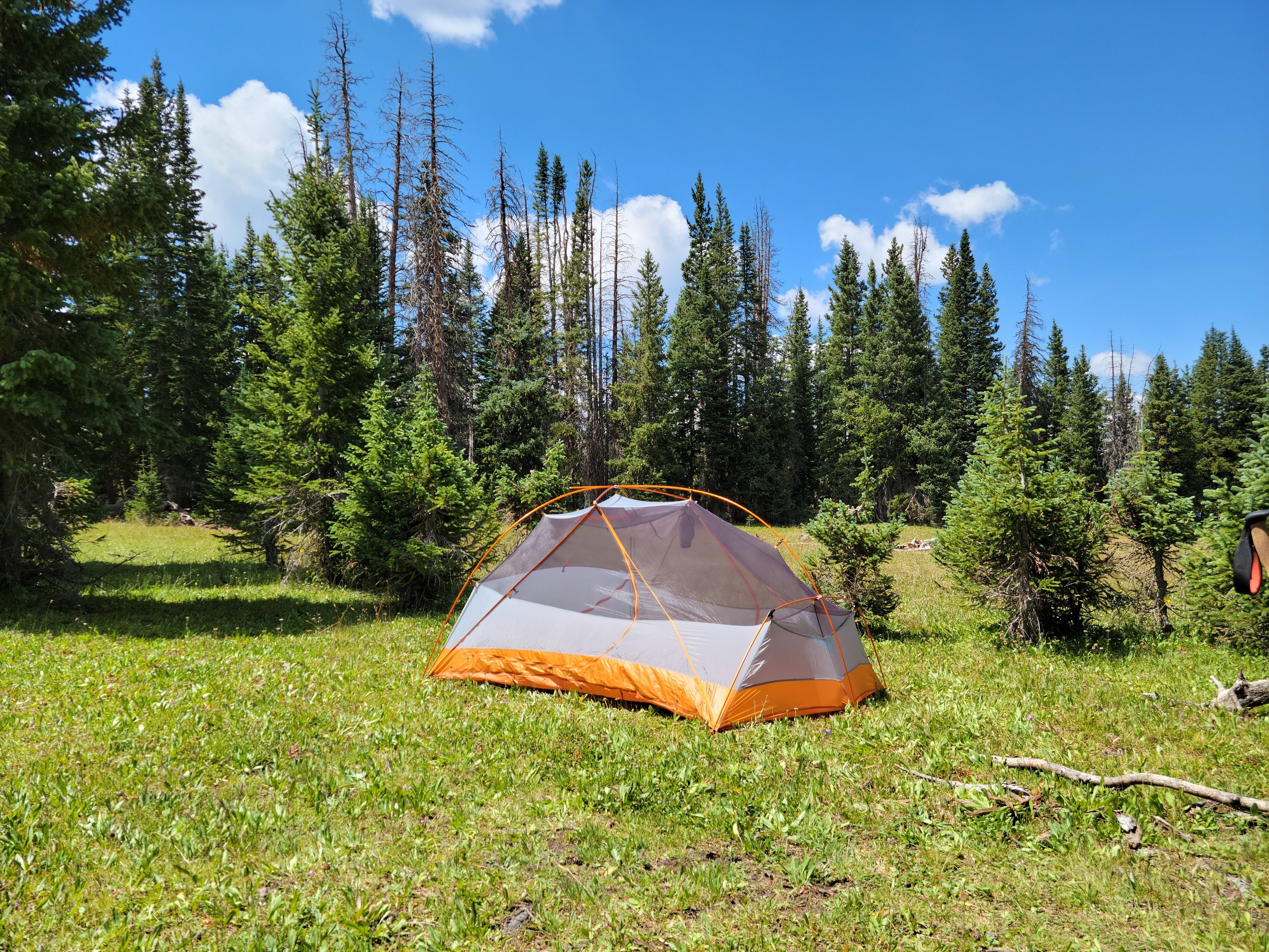
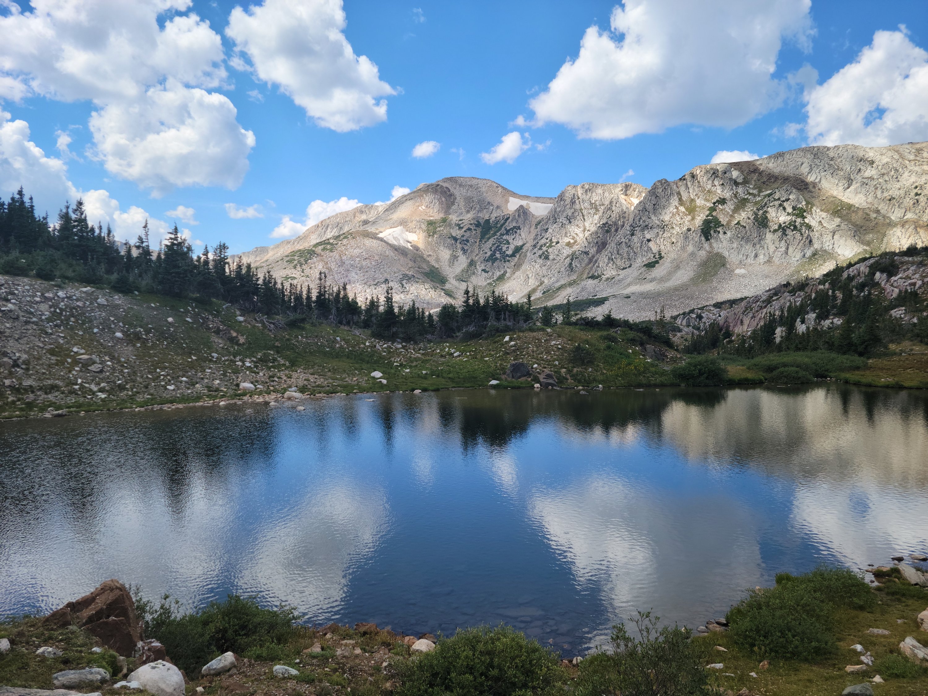
Day 3, Thursday, August 18. Our route continued on Sheep’s Lake Trail, then a left on Gap Lake Trail (yep, a Trail sign was posted) for about 1/2 mile to an unnamed lake. We camped in a lovely meadow across from the lake. Total mileage this day was only 2.80-miles with less than 400′ elevation gain and the effort took almost 2-hours.
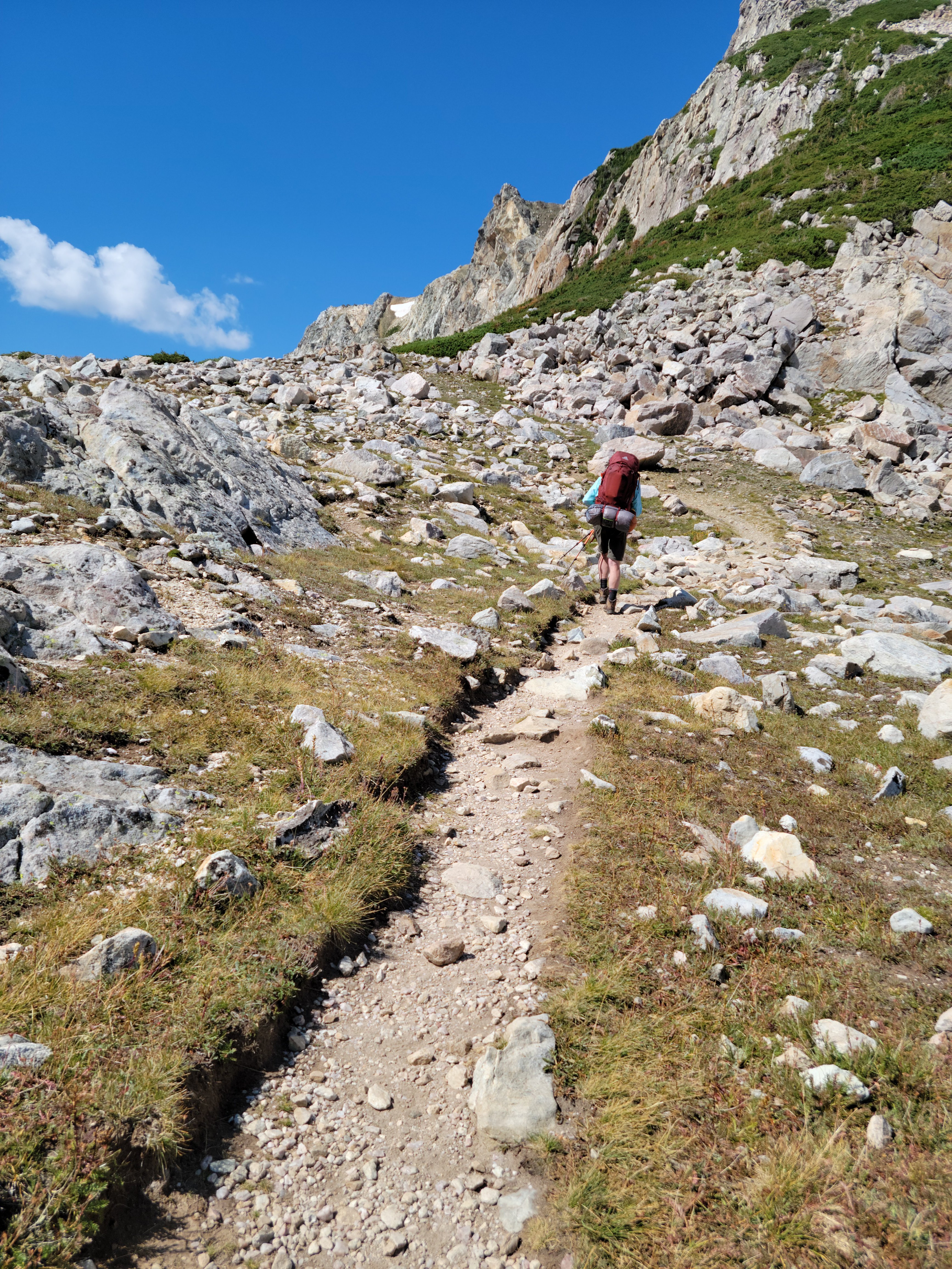
The hike was again difficult, even with low mileage. First climb took us to 11,000′ with parts of the trail reaching 14% grade. After this challenge the trail leveled out to a sometimes mushy, other times hard packed and always a little rocky surface.
We arrived at camp around lunchtime, a beautiful alpine meadow. After lunch, the group dispersed for various activities. John and I lay on the meadow floor and watched the clouds shift and move in the currents, calling out different shapes as they caught our fancy. I may have napped for a moment or two, truly a relaxing afternoon.
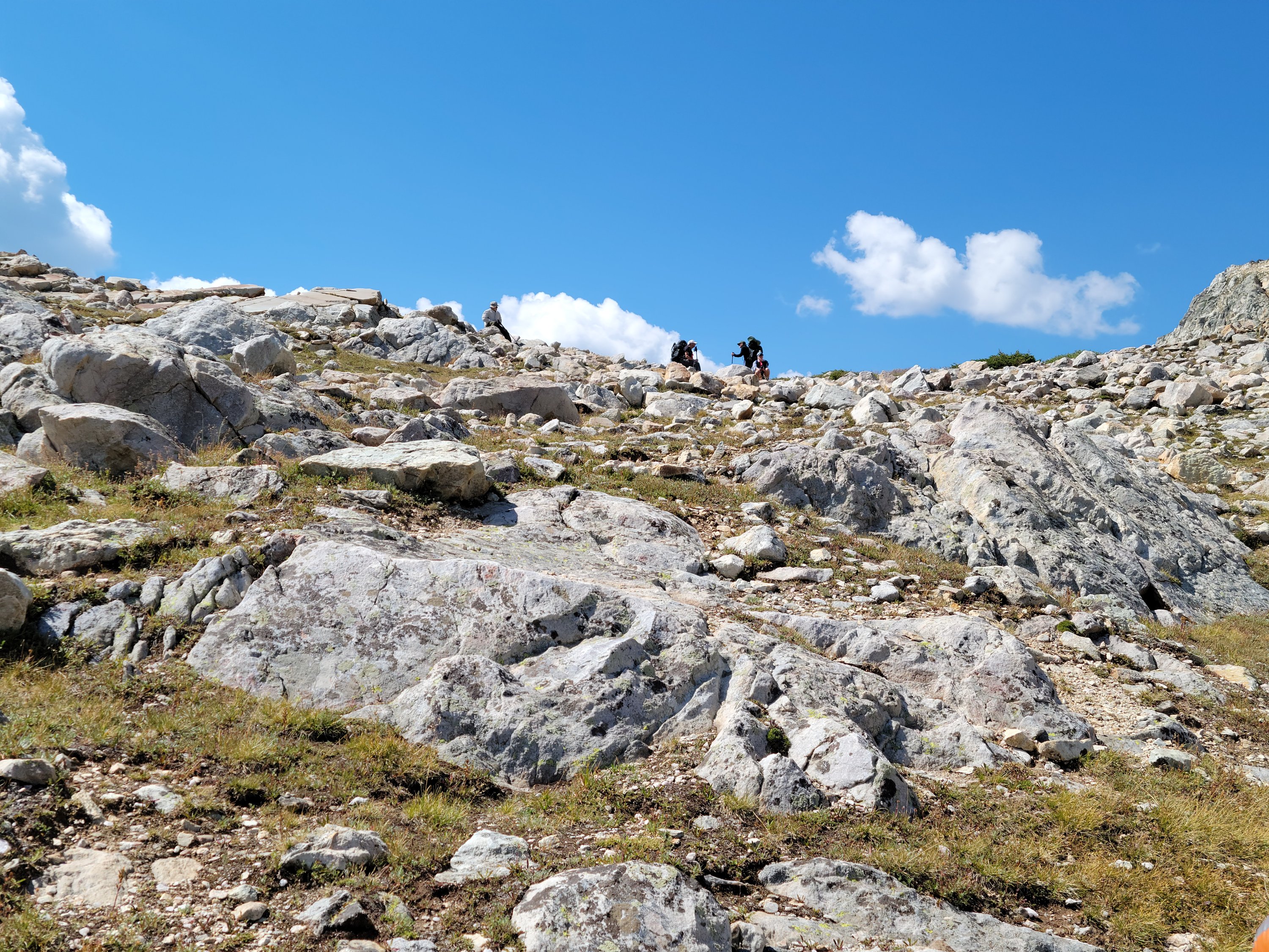
Day 4, Friday, August 19. This day’s hike brought us back to within 1/2-mile of where we began, the trailhead of Lost Lake Trail. This was our hardest day, we always knew it would be as we crossed over the pass between Brown and Medicine Bow mountains. We hiked 3.97-miles in 3.23 hours, ascending 526′.
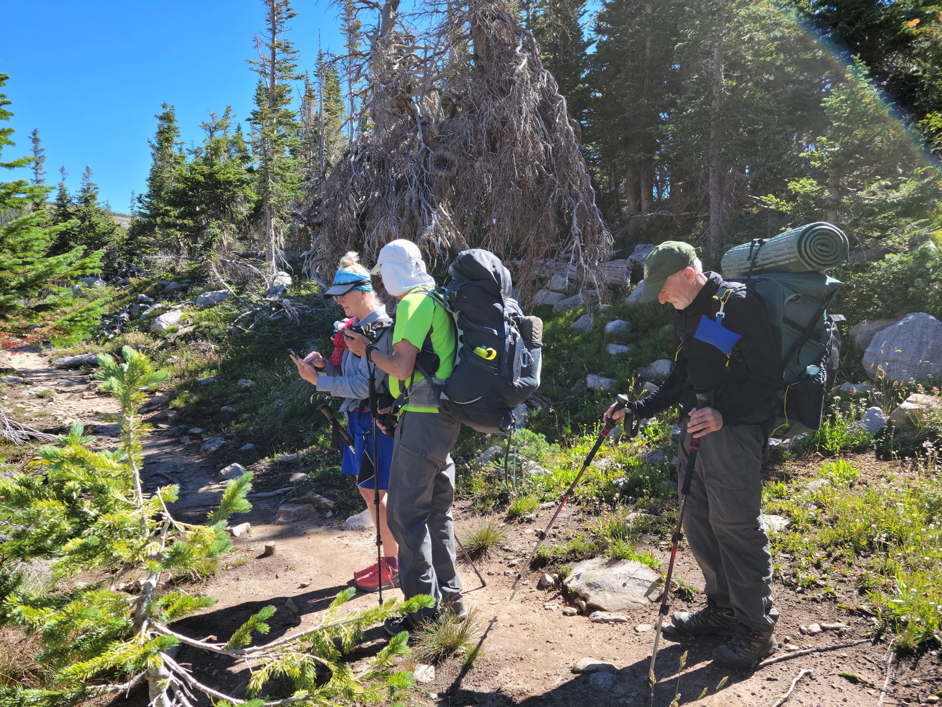
If you are still with me here (good for you!) you may wonder how this group of seven was fairing as they began their fourth day. The answer is, pretty good. For the most part, breathing was a little easier, we weren’t getting as dizzy bending down to set up our tents and for me personally, I had returned backpacking to my future. Will, was still struggling with several issues and we worried (needlessly) about him on this day.
For all our worry, Will had a good day. He was comfortable going over the boulder field and climbing the pass. That evening he briefly mentioned another trip, next year. Hmmm, maybe we have all put backpacking back in our future.
At this point, the debate was “do we go out now (2 days early) or spend the night within 1/2 mile of the car with a short hike out in the morning”. Clearly, we were all wanted to go out early; our trip was already a day behind schedule. Going out early meant we would spend our remaining layover day in the car, driving to Denver, a hot shower and possibly flying home a day early. We decided the best option was to camp close to the trailhead and go out in the morning (1 day early).
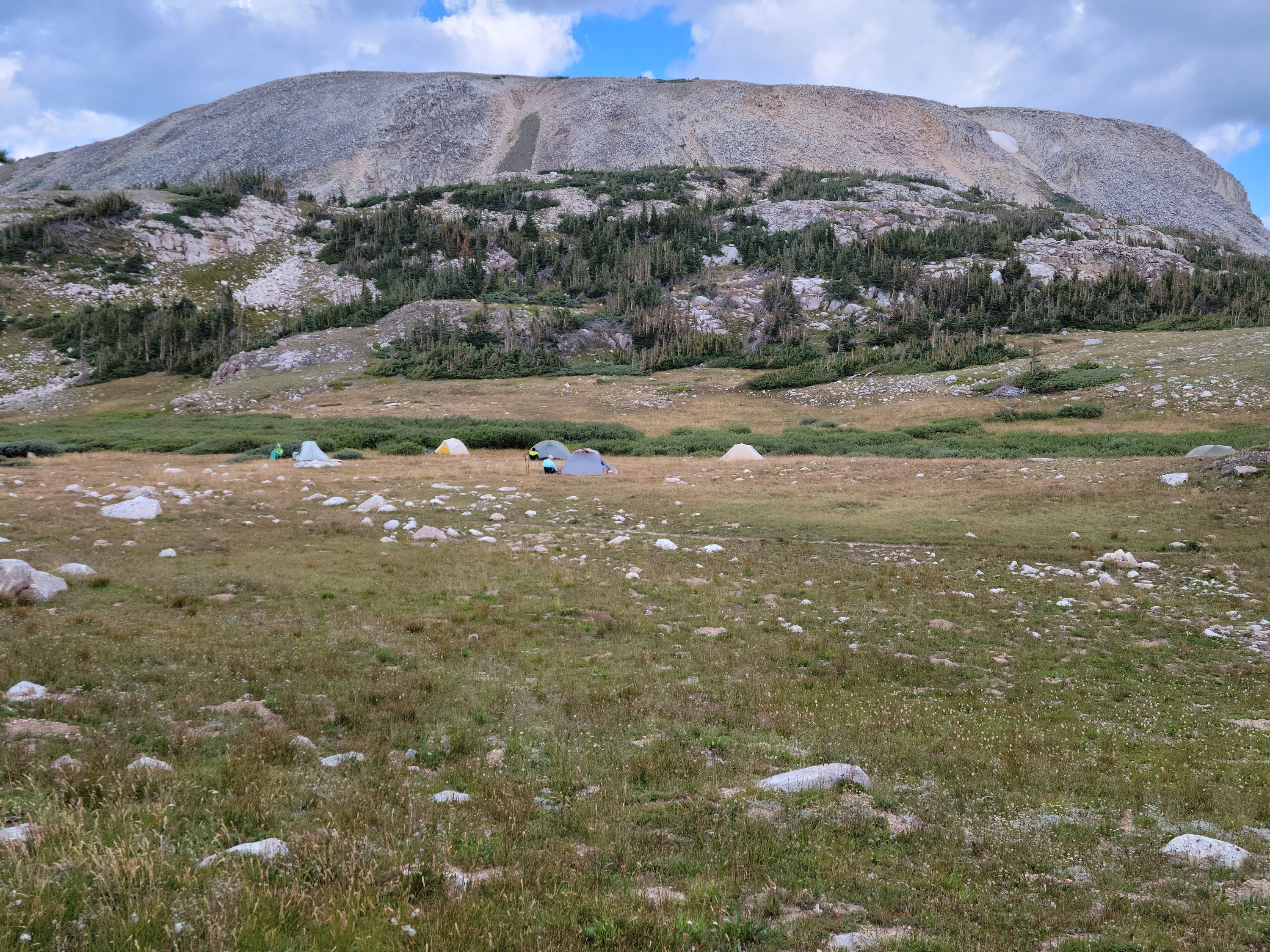
Camping this close to the trail pained John. This was a busy trailhead with people coming and going frequently and we were on display, all 6 tents of us. This was not our best choice of campsites, but the best we could do with enough space for us with water close (the bright green vegetation marks flowing water). At one-point, late afternoon, a group of college girls hiked by with the comment, “oh look, those people are having a little campout…. with six tents.” We suspect they thought we couldn’t hike any further from the parking lot. Sigh…
We did hike out a day early and gleefully stopped at Bear Butt Bar and Grill for a breakfast fit for a backpacker.
We were also able to change our flights and return home a day early. The recovery period for John and me, post backpack was longer than usual. It appears that this was a problem for others too. We are now back to our regular routine and looking forward to picking up the new van in a couple of weeks! New adventures on the horizon!!