Coosa Backcountry Trail, 15 miles south of Blairsville, GA, popped on my radar screen in 2000 when I was researching the Blood Mountain section of the Appalachian Trail. The information got lost in folder until January of this year when I was looking for someplace new to hike. A quick email to friends netted a group of 8 backpackers ready have a go at the rugged Georgia backcountry.
We drove to Blairsville late Friday afternoon to avoid an early Saturday wake-up call. Not much going on in Blairsville, GA on a Friday night so most of us turned in early and were ready to go around 9:00 am on Saturday morning. After a short 15 minute drive to Vogel State Park, we checked in with park headquarters and headed out to begin our hike. We expected weekend temps to be on the cool side and we weren’t disappointed. Perfect for the steep climbs we anticipated!
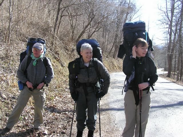
John F., Barbara and Robin, packs on and ready to go.

Coosa Backcountry Trail is billed as a strenuous hike for experienced backpackers although stretches early in our counter clockwise hike were easy and relaxing. John F. and Barbara (above) enjoy this sweet piece of trail.
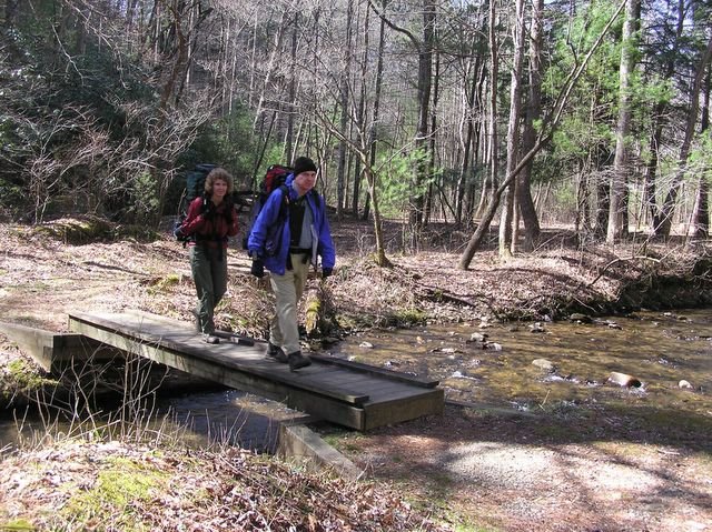
We took our first break beyond a footbridge in an open area by the creek. Although the area showed signs of use as a campsite, the paved park road running right beside the camp would make us uneasy for an overnight stay. (Photo above-Will and Kim crossing the footbridge).

The next leg of the trail was a steep uphill. The group spread out with the slower hikers falling back and the faster hikers forward. It was a slog. Bill was the first to arrive at Calf Stomp Gap, our halfway point, John and I were next. Calf Stomp Gap was our intended stop for the night because of the availability of water, but it was still early and we weren’t ready to stop so we decided to hike on. Besides, another forest service road ran right through the Gap. While the road did not appear well traveled, we weren’t anxious to chance people driving through our camp in the middle of the night.
The only problem with moving on is that we knew we would have an issue with water unless we carried it from the Gap and Bill has scouted the next piece of trail, it was steeper than the piece we had just finished. We grabbed our water carriers and headed slightly downhill toward the sound of running water. We passed a small branch of stream and continued on to main stream.
John and I filled several water bottles and our 96 oz screw top water carrier. John threw the screw top bottle in the net in front of his pack. We did not envy the people with zip seal water bags cause they do not close well and would have to be carried in the hand. (Photo above, John filling a water bottle).
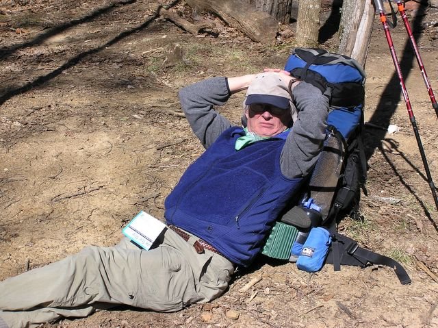
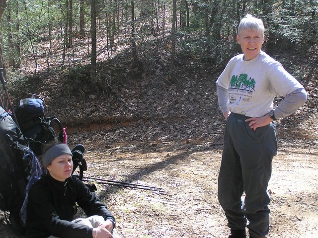
John F. found a potential campsite on the map and is taking a break in preparation for the next leg of the trip.
Bill catching some sun and waiting on everyone to arrive at Calf Stomp Gap.
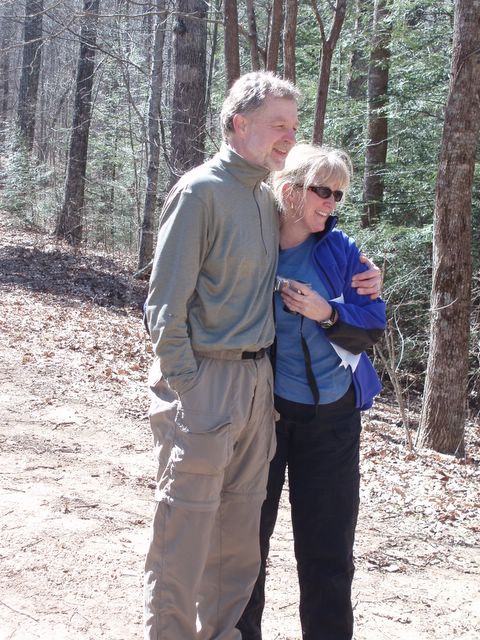
Thanks for emailing this photo, Bill!! We don’t get too many photos together and most of the ones we do are not very good. We especially like this one 🙂
Barbara and Robin at the gap. The next piece of trail begins behind Barbara, yeah, that steep ground behind her left shoulder (she is standing on the edge of the dirt forest service road).
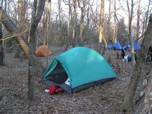
Ah, camp. We finally found a great camp spot at the foot of Coosa Bald. This, after one heck of a climb uphill! We would have enjoyed camping on Coosa Bald but there really weren’t enough sites to set-up 6 tents. Besides, we were ready to quit for the day! Lucky us, only one more really steep climb for tomorrow.
We expected additional hikers to wander into camp but they didn’t, we had the place to ourselves. We gathered wood, cooked dinner and enjoyed an evening around the campfire looking at stars and telling stories.
Above photo: The turq tent is our home for the night, Bill had his tan Hubba tent and Robin and John F. slept in the twin blue tents in the back.

Hey Hollywood! This is me laying in the tent, door open with the last of the afternoon rays warming my face and my Feather Friends down bag warming the rest of me. At this point I have had a cold for two weeks. Had I not been been the trip coordinator I would probably be at home in bed but instead I am grabbing a short rest before dinner and happy that I am here enjoying the great scenery and the challenging adventure!
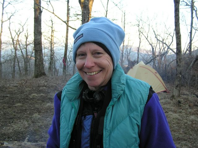
Barbara! Smile, you are on candid camera!!
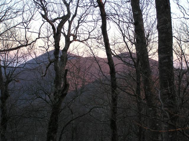
What a sunset! Red reflects against Blood Mountain (tallest mountain to the left) and Slaughter Mountain (on the right). The names of the mountains tend to surprise people. The names have to do with some major battles in the late 1600’s between the Cherokees and the Creeks. Google Blood Mountain and you can read the whole story.

Gosh, if the park service would cut these trees down, we could really get a great view of the sunset! Just kidding. We think the sunset through the trees is incredible!!
Day 2, what goes up, must come down! After Day 1’s steep uphill, we really had a toe jamming hike down to Wolfpen Gap. John F and Robin take a break and wait for everyone to catch up. We were facing a very steep climb up Slaughter Mtn after this Gap and then the downhill back to the car.
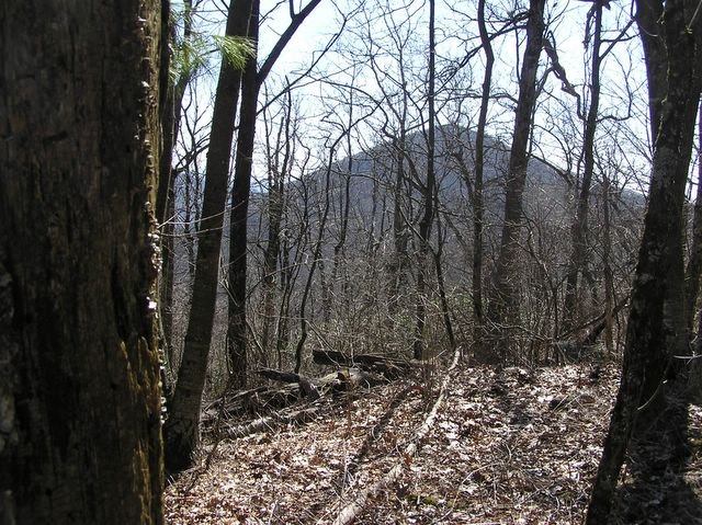
This view of Blood Mountain is visible on the hike up Slaughter Mountain. Most of the group dropped packs at Slaughter Gap and hiked up Blood Mountain, where a great example of CCC construction, in the form of a stone shelter, still offers overnight protection for hikers. John and I passed on the opportunity, we hiked Blood Mountain in March 2001 and felt we really didn’t need to repeat the experience.
We were back to Vogel by mid-afternoon. Most everyone drove to Neels Gap to checkout the backpack store and watch some of the AT hikers coming through. At this point on their journey, the AT hikers have been on the trail for only a few weeks and are suffering the effects of long distance trail hiking.
Coosa Backcountry is a great hike. A nice balance of agony and ecstasy