Since it is almost time to leave on our West Coast Trail adventure and we have only a few more weekends to hike, we packed up our backpacks and headed to upper East Tennessee. We were lured by the high elevation and the open, airy balds of the Roan Mountains. We figured with the heat and humidity, the lush vegetation in the Great Smoky Mountains National Park would be stifling. We were not disappointed in our choice. At 6160′. the soft summer breezes on Grassy Ridge were cool and refreshing. We figured the temperature was just about 78 degrees.
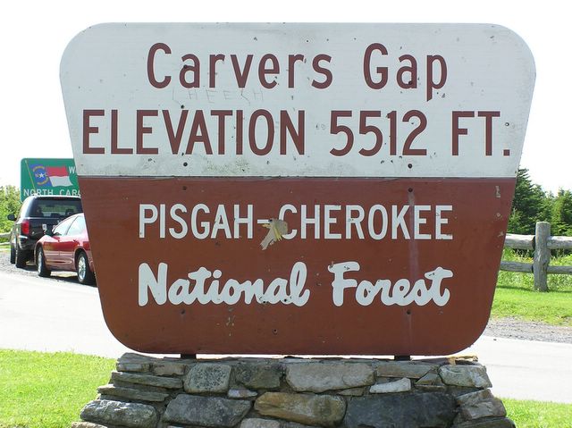
Carver’s Gap is on the border of Tennessee and North Carolina and straddles the Cherokee (TN) and Pisgah (NC) National Forests. We started our hike on the Appalachian Trail out of Carver’s Gap. We had several balds to climb up and over before we reached our destination.
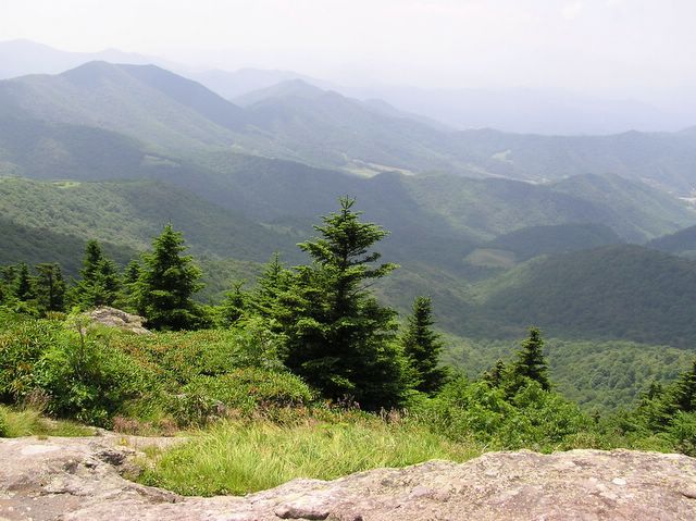
Shot from the Appalachian Trail, this photo shows the Black Mountains in the distance. Located in North Carolina, the Blacks are home to the tallest mountain west of the Mississippi, Mt. Mitchell (6685′). We have hiked quite a bit in the Blacks and look forward to another opportunity, maybe something this fall.
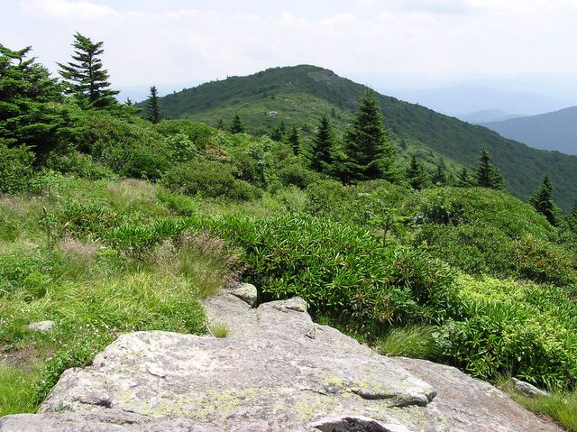
This photo is taken from the backside of Grassy Ridge (looking toward the next set of balds). These balds are known for their incredible displays of rhododendren in the 3rd and 4th weeks of June and draw incredible crowds of hikers, many coming by tour bus. We were just past the blooming season but we didn’t miss the crowds. If a hiking fee had been charged on this day, the Forest Service would have made enough money to do some serious trail repair!
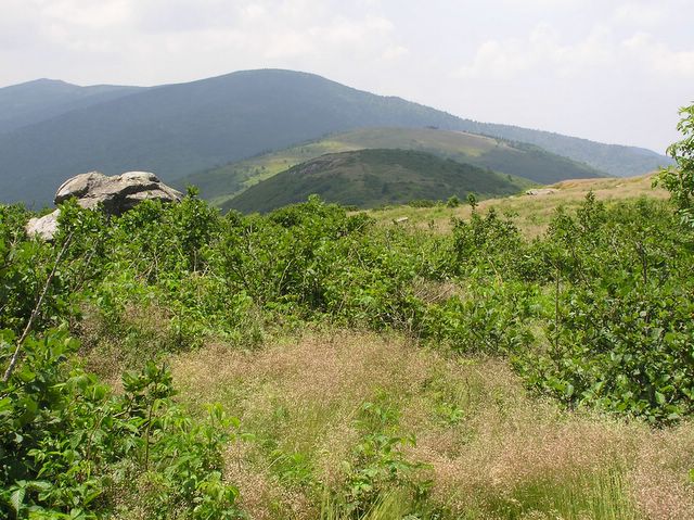
This photo is looking toward Jane’s Bald and the hike back to the car. Hiking in this area offers the ability to see “forever” coupled with high elevation breezes and long, waving, highland grasses. It also offers the opportunity to get a good sunburn. Although we applied sun screen before the hike, we should have reapplied. We came home an interesting shade of red-brown.
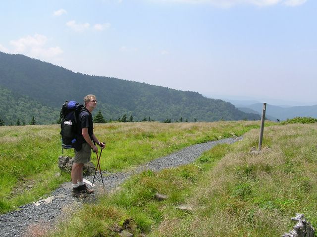
John looking at a group of Fraser Firs just out of camera’s eye. The few trees are stunted from wind and look remind us of bonzi trees. The marker on the side of the trail is the AT trail marker (white blaze). As you can see, John’s backpack is fully loaded on this day hike. He will be ready for the WCT. Once again, I had a partially loaded, small external frame pack. Picking up a fully loaded backpack in a couple of weeks will be a shock to my body!