Yesterday we went in search of the last of the 2009 fall colors with friends Will Skelton and Kim Robinette. The hike had started as a backpack, possibly in the Big South Fork or Cherokee National Forest. We set the weekend, tried to get friends Bill Adams and Silke Hecht to join us (they had other plans) and just never firmed anything up.
As the designated weekend drew near, the backpack idea fell away in favor of a fall colors day hike. Kim was interested in hiking long and all of us were concerned about the legendary Smoky Mtn leaf peeper traffic. Somehow Will came up with the idea of Spence Field for a destination, something about 10.4-miles out and back and a lot of elevation (2800′ elevation gain) for best possible chance for colors. We resisted but finally agreed knowing that the hike could get ugly. Our longest hike year to date is only 6.2-miles, I have recently run longer than that!
We left Knoxville at 8:00 AM with plans to meet Will and Kim at the trail head. The drive was mostly uneventful although we got caught behind the last of the Knoxville Track Club Mill House Classic 15k racers and behind a number of bicyclists who were grabbing the chance to put in some miles on a cool, dry fall day. Even with slow downs we arrived at the trail head (Cades Cove Picnic Area) about the same time as Will and Kim.
After getting our boots on and adjusting our trekking poles, we were off. Our route took us up Anthony Creek Trail, then right on Bote Mtn Trail to the AT. At first the uphill was gradual but the higher we climbed, the steeper the trail.
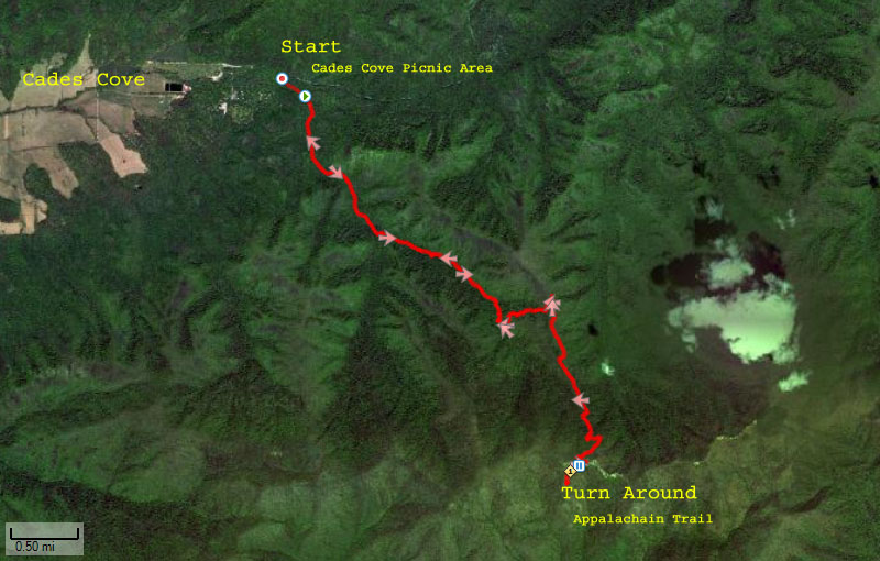 Hike route as mapped by my Forerunner 305
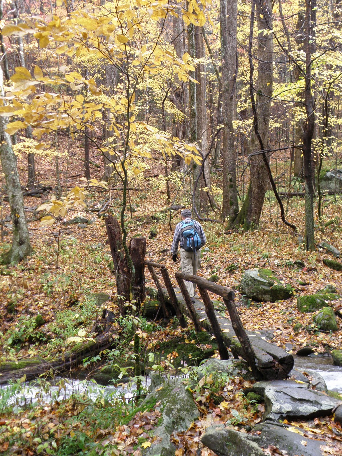 Will crossing Anthony Creek via a log bridge. Water levels were unusually high due to recent rain!
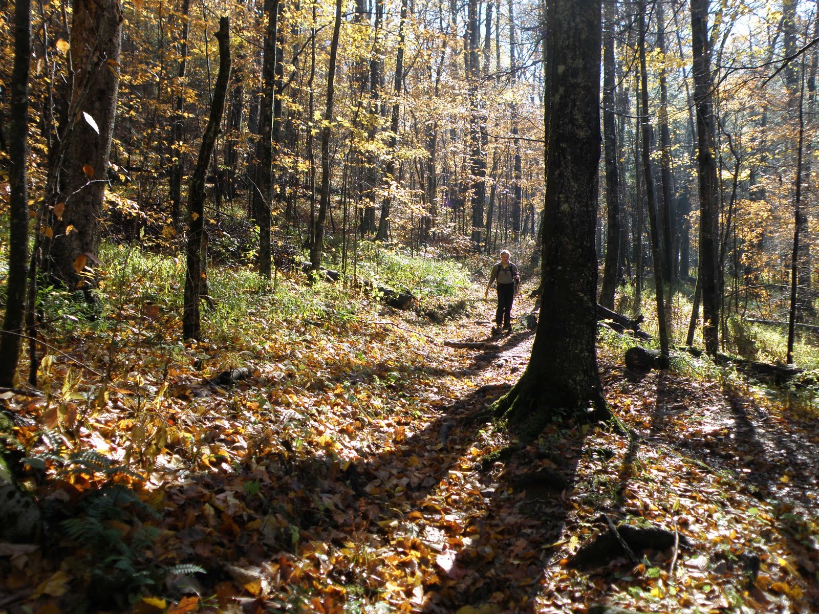 John hiking under blue skies and sunlight. Most of the leaves are brown at this elevation.
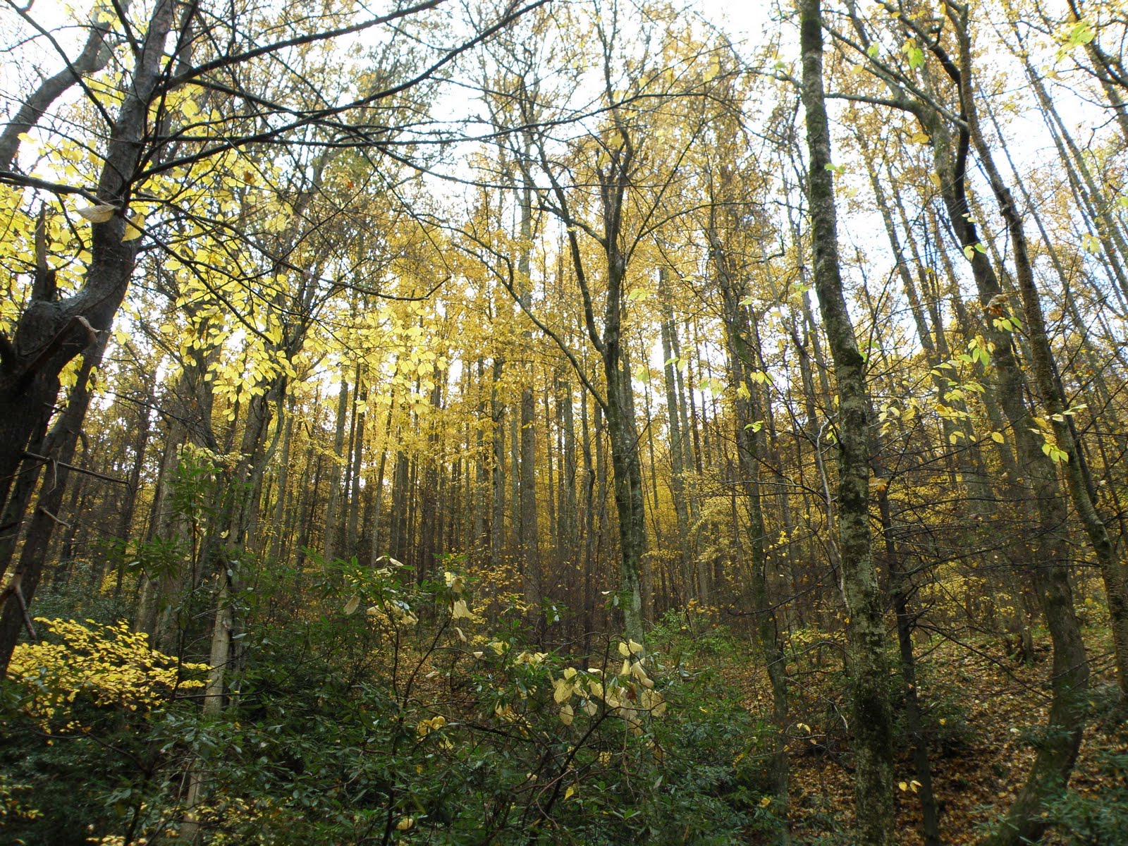
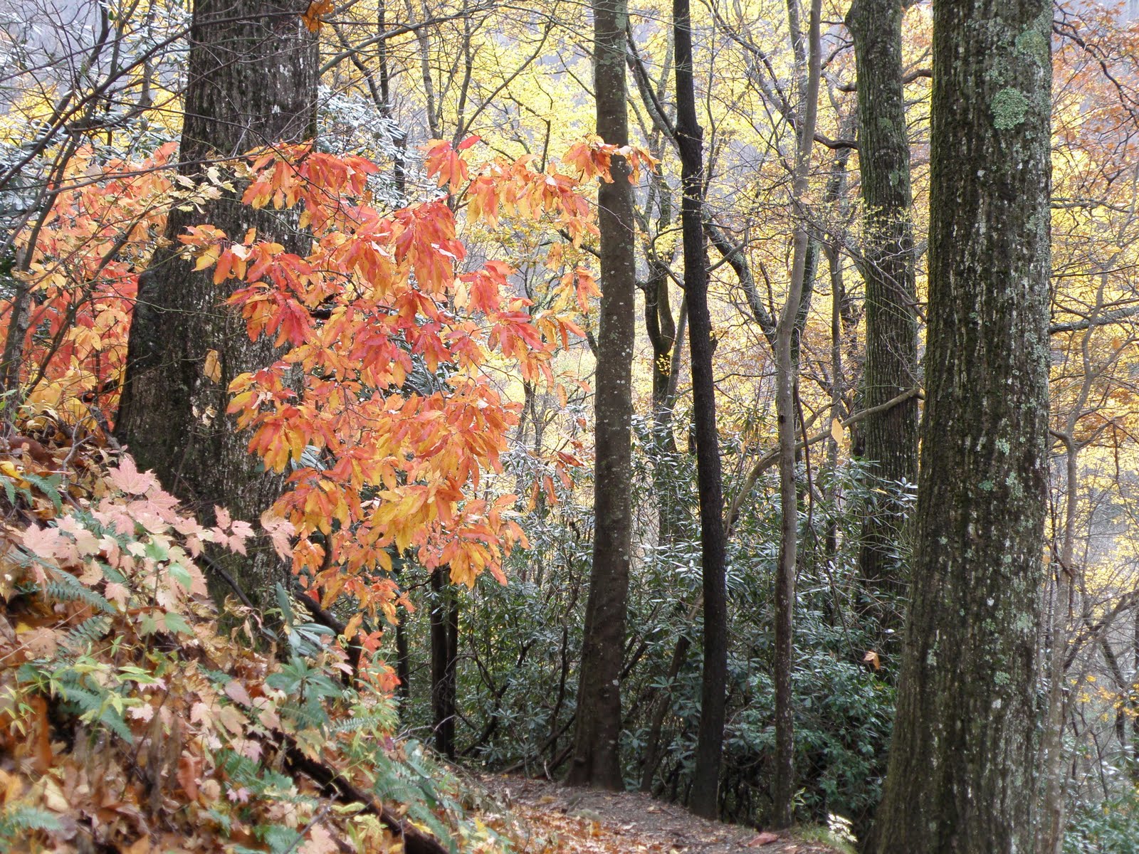
Fall yellows… most of the reds are gone
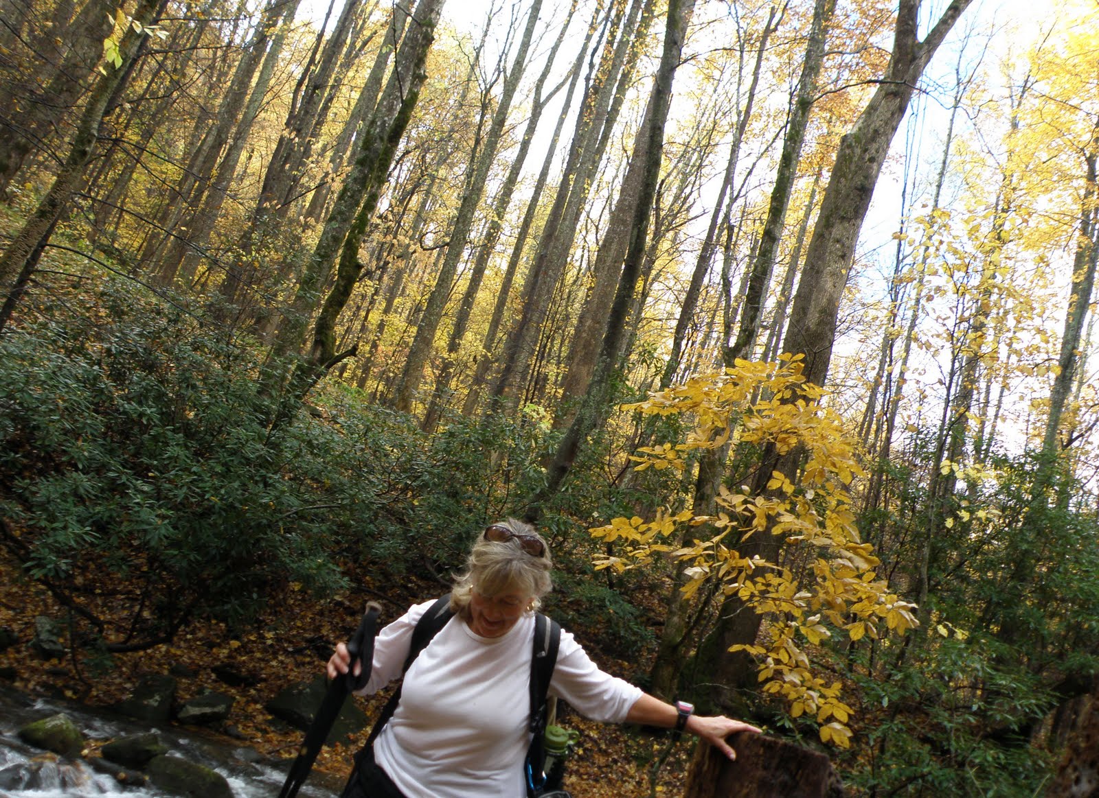 Beverly navigating a log bridge. Poor balance results in shaky water crossings
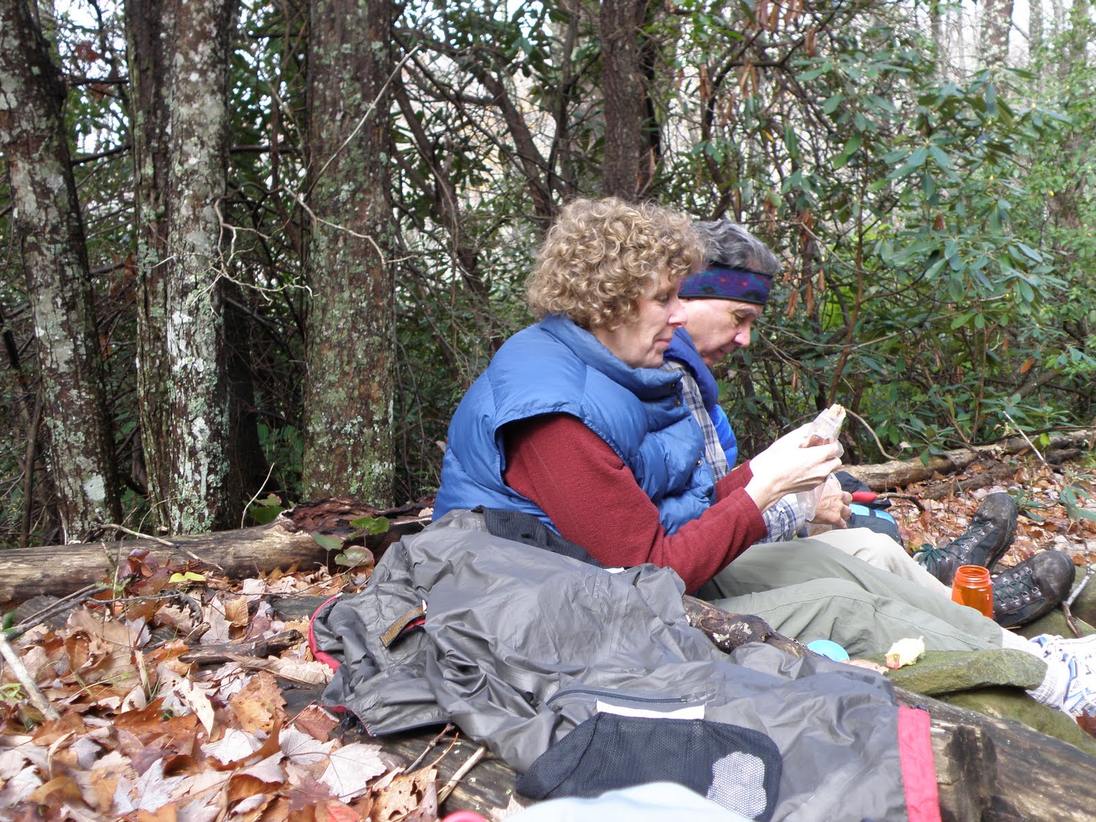
 John and Beverly at lunch
We stopped for lunch around 11:30 AM at the junction of Anthony Creek and Bote Mtn Trails. We had been hiking under alternating sun and clouds. Elevation gain to this point was about 1,600′ spread over 3.5-miles. The more difficult part of the hike was still in front of us, 1.7-miles and 1,200′.
 Will and Kim lunching
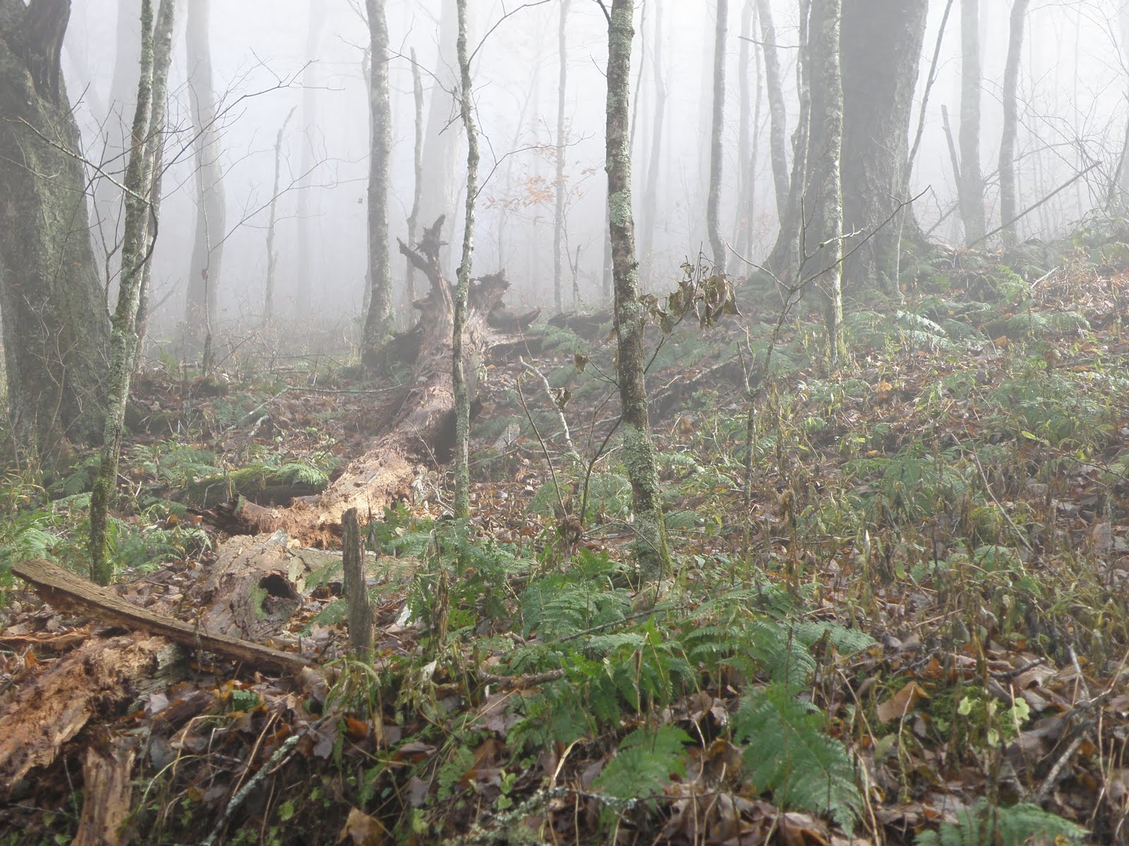 Cloud cover on Bote Mtn Trail
Hiking in the Smokies involves hiking through a series of micro-climates. The lower elevations are of course, warmer. The higher the climb, the cooler the temperature. Clouds, rain, snow, sun and just about anything else goes at different elevations. Yesterday, at some point on Bote Mtn Trail, we entered a section of trail buried in thick, low hanging clouds. Trees dripped with moisture and the sun was mostly blocked. Even though our cores were heated up from the climb, our hands, ears and faces were cold.
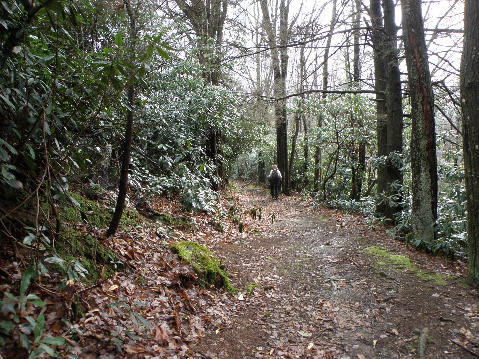 Beverly hiking through a rhodoendron grove near the junction of the AT
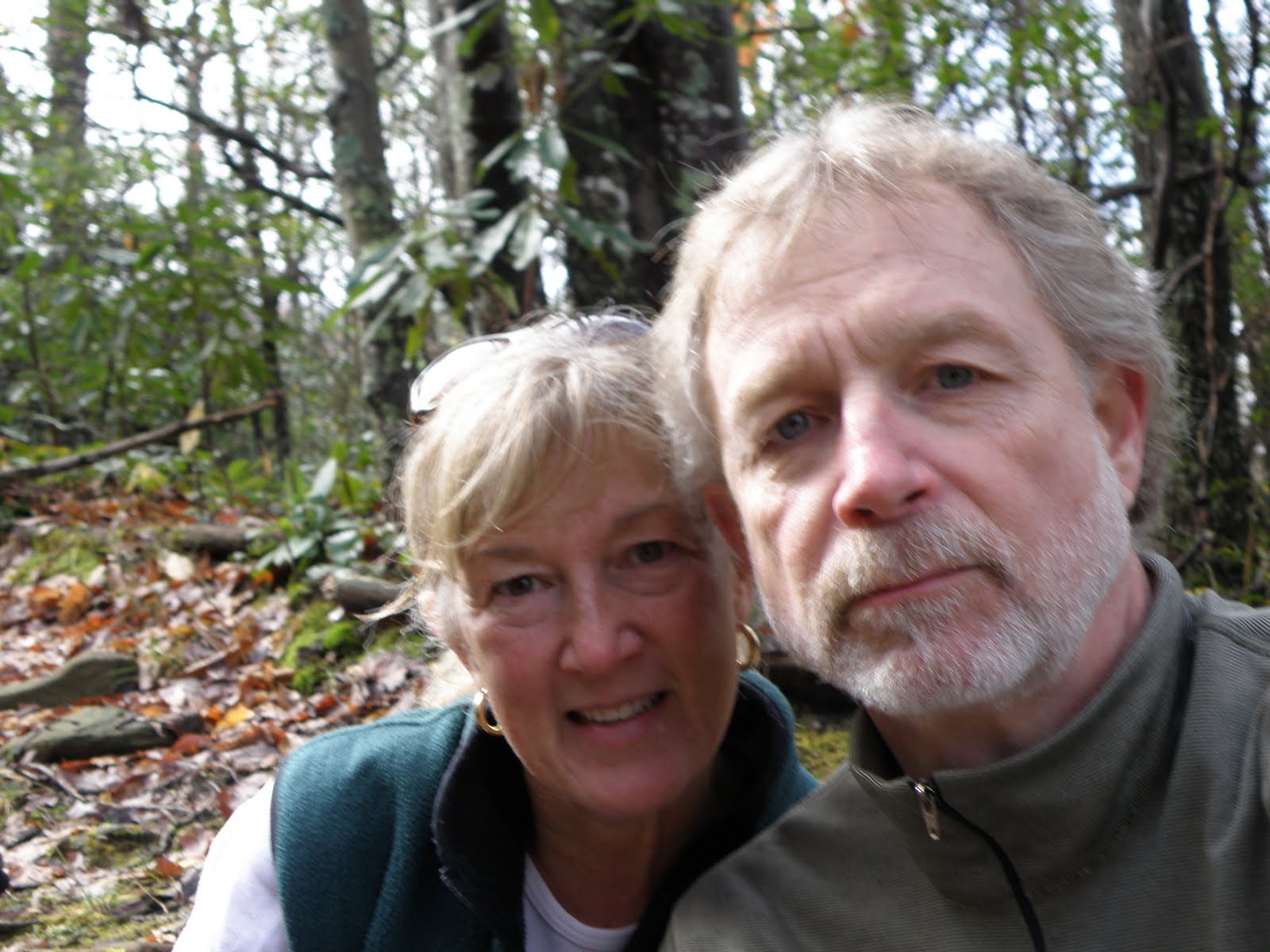
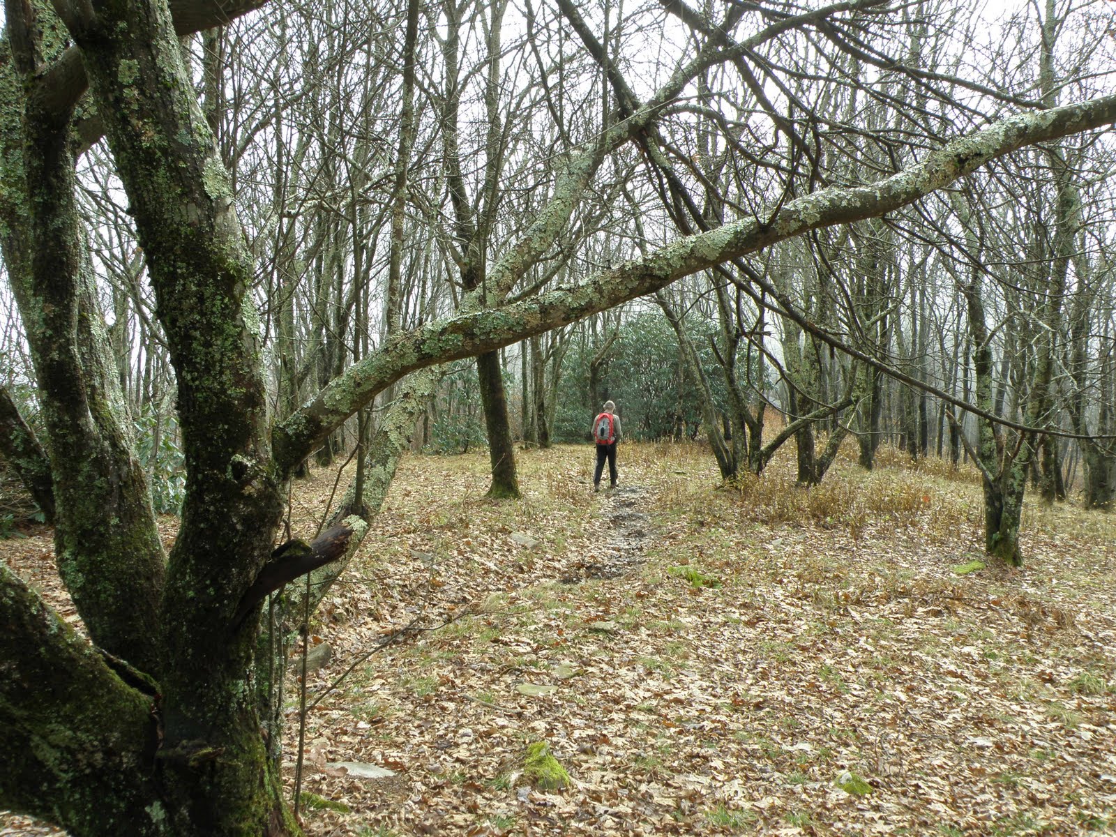 John on the AT near Spence Field
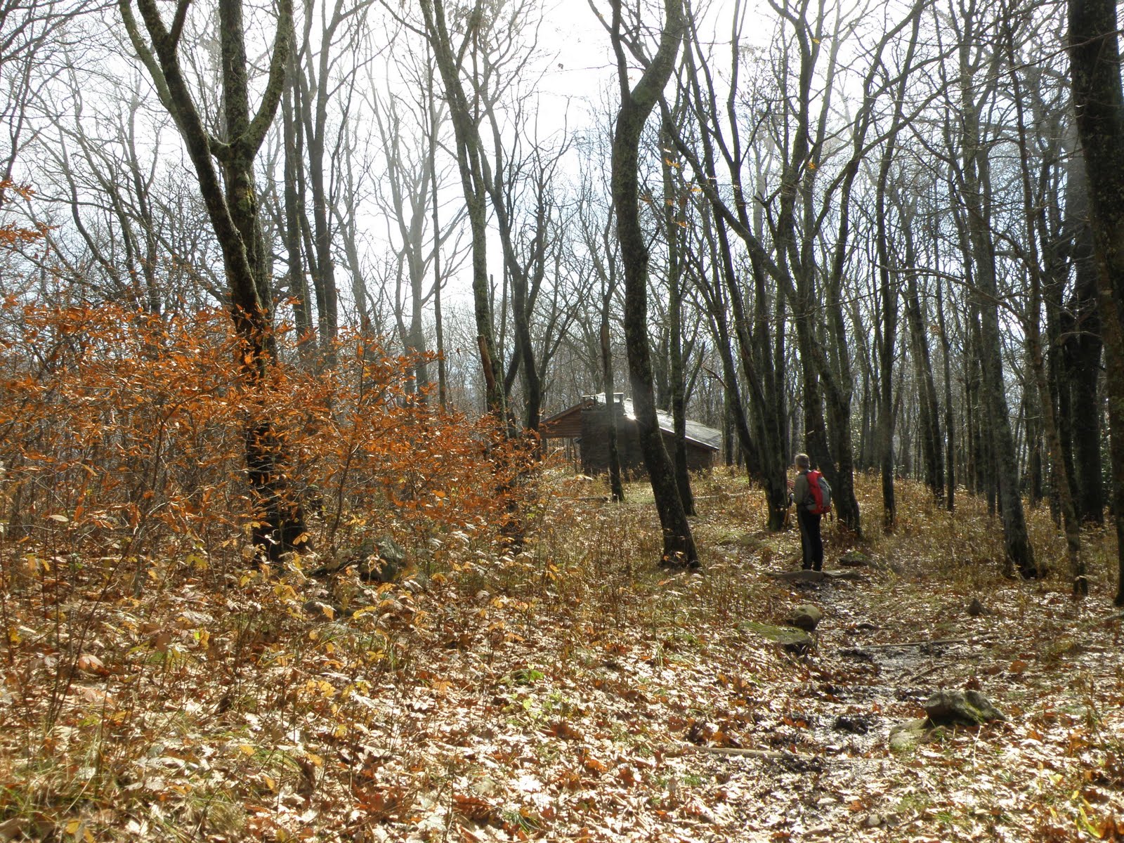 John on the AT, Spence Field Shelter is in sight
The section of the AT running through the Great Smoky Mountains National Park stretches 67 miles. Since tent camping is not “officially” sanctioned on the AT in the Smokies, The Smoky Mountains Hiking Club is responsible for building and maintaining shelters and privies within the park boundries. Spence Field Shelter is one such shelter. It sleeps 12 hikers on 2 double decker bunks.
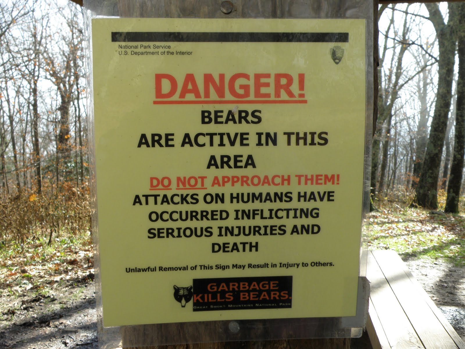 Bear warning at the shelter
Unfortunately, bear activity has forced closure of several shelters and numerous campsites in the Smokies. We did not see any bears on this trip.
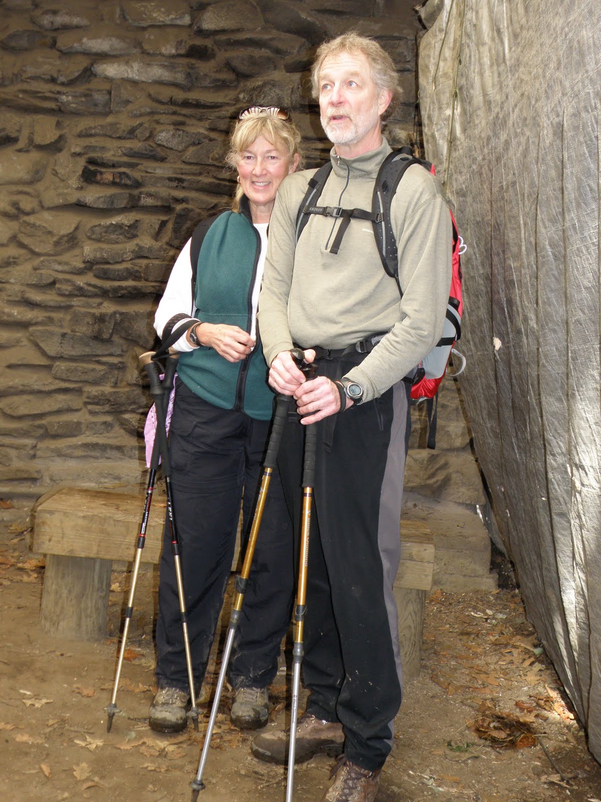 John and Beverly standing in front of the shelter fireplace
The thermal blanket to the right of the photo covers the front of the shelter to keep out the elements. It does not keep out the bears nor the little mice that plague all shelters.
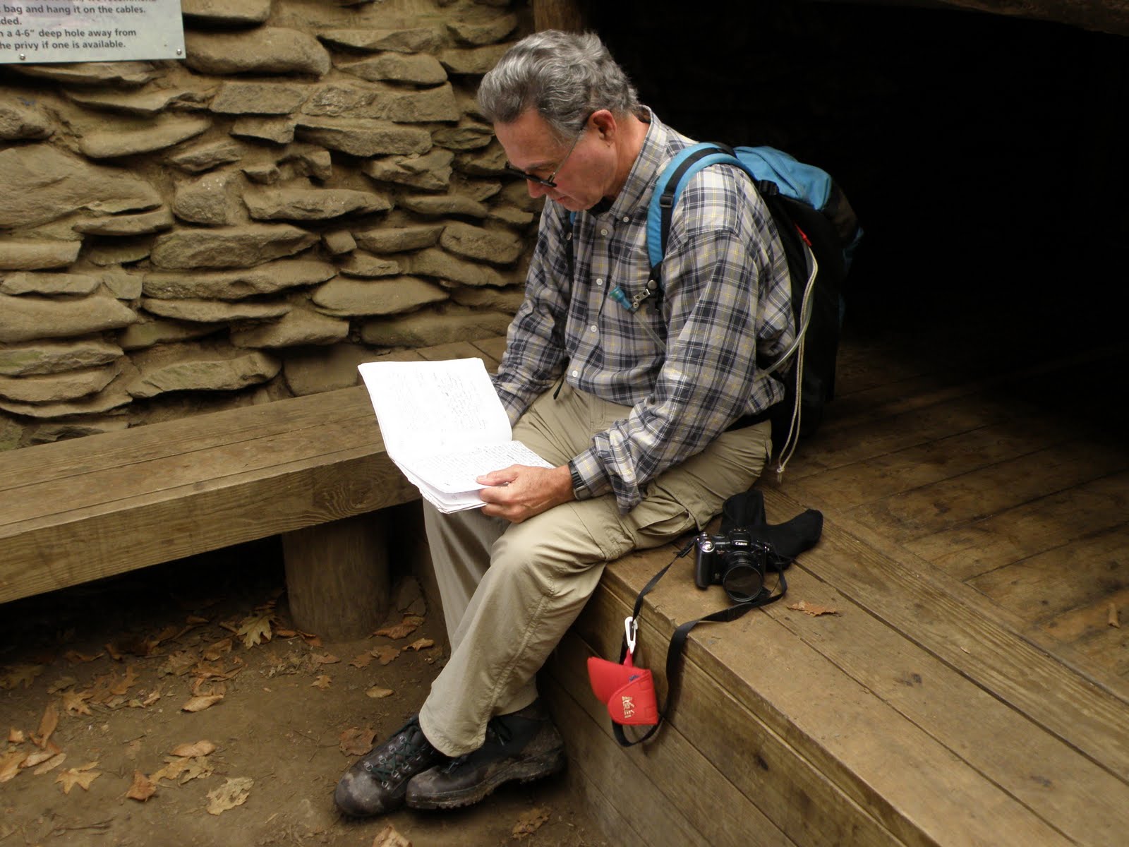 Will sitting on the lower sleeping bunk reading the shelter journal
 Due to the end of Daylight Savings Time, the trees were casting long shadows by the time we returned to the trail head. We were not in danger of hiking out in darkness but were glad to be out by 5:00 PM. Our total hiking time (including stops and exploring) was around 7 hours. According to my Forerunner 305, we hiked 12.04 miles (includes milling around on top) and gained over 5,000′ in elevation, about 2,200′ more than anticipated. I attribute the additional elevation to satellite connections or slight changes in trail elevation not measured by the straight line method. Calories burned during the hike 1,100. Calories consumed at Gondolier Italian Restaurant in Maryville, probably 2,200.
(Additional photos will be posted on Picasa in the next few days) http://picasaweb.google.com/johnandbeverly74