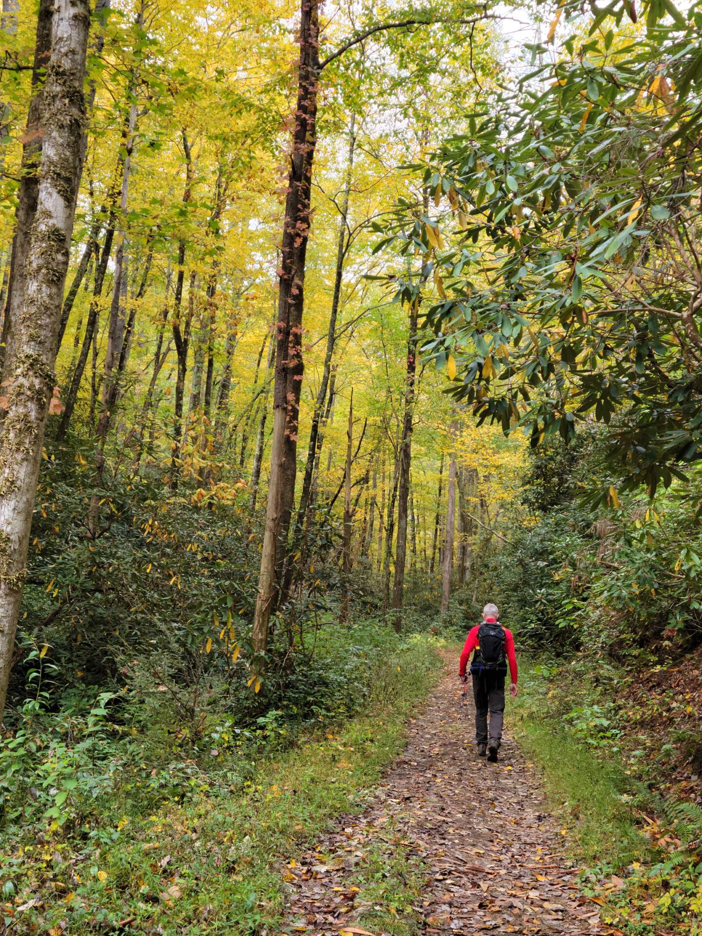
October is exploding in East Tennessee, with its intense reds, vibrant oranges and dazzling yellows. Every sunrise is glorious, every sunset reflects a pallet of fall colours. This is my season, and I am soaking up every moment I can. In a few short weeks, colours will peak and Fall’s glory will blow away with the wind.
Last week was another week filled with walks and runs, and another lunch date with my partner, this time to a favorite downtown seafood house. While dipping into scallop and bacon chowder, we took a deeper dive into 2024 travel plans. Earlier in the week, we had agreed to flip the van trip to spring which will allow us to team up with a couple from our recent travels to Alaska. By moving the van trip, our still unspecified trip to Europe switched to fall. Fall will give us a chance to work through our trip’s goals, a walk (my choice) or a bicycle tour (John’s choice) in sufficient time to book the trip and, more importantly, get in shape for the trip. I love having a motivational plan.
On Tuesday, a week past, we made our way to the Great Smoky Mountains National Park for our first real hike since May (of this year). The intent was to ease back in to hiking with limited miles and elevation. At the end of the effort, my Garmin indicated we hiked 6-miles with 1200′ ascent and 1200′ descent. I consider that a bit more than easing in but, I felt I could have hiked a few more miles and that is a good way to end a hike.
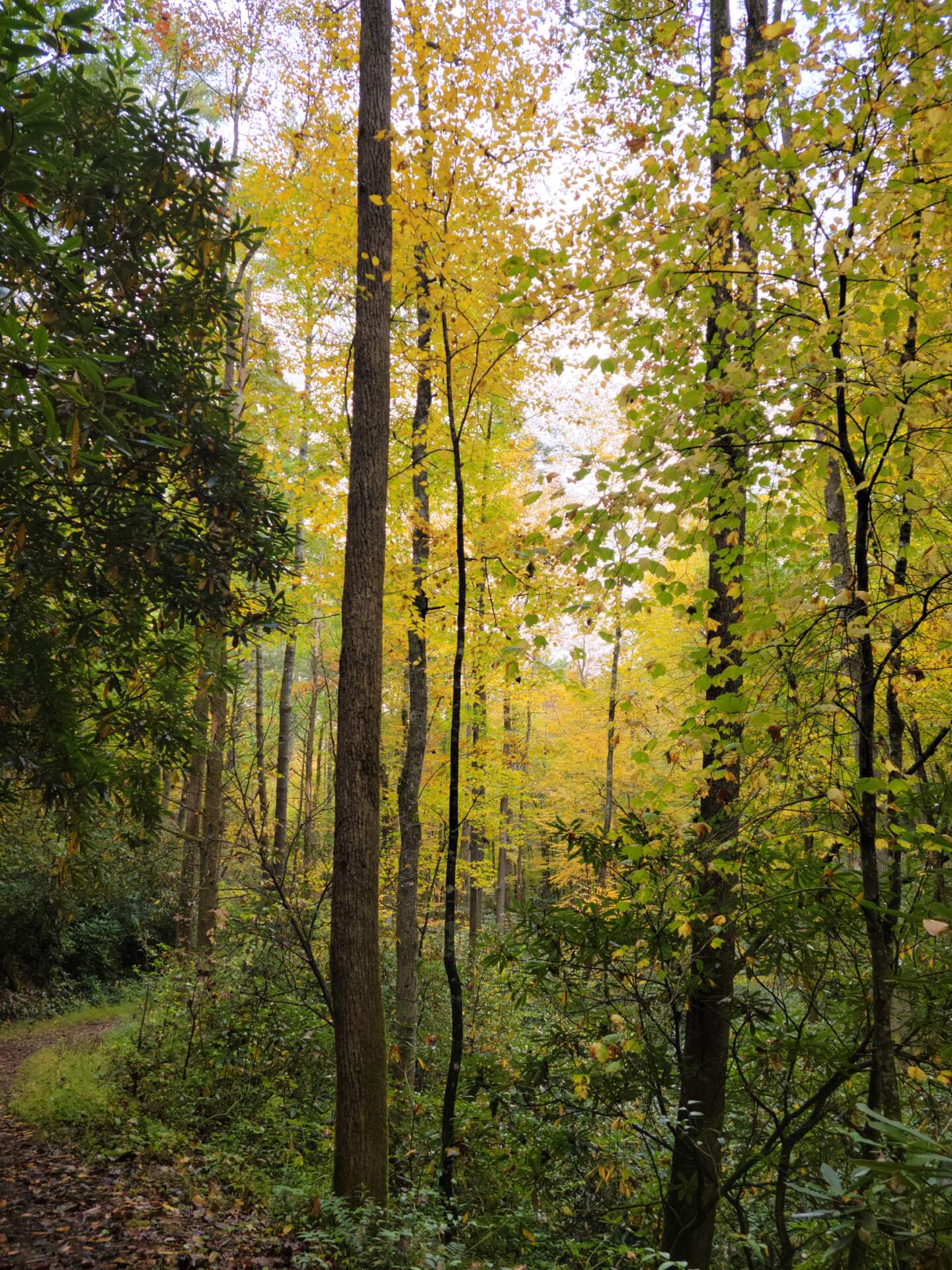
Mile 0 for us was Bote Mountain trailhead, on Laurel Creek Road. Our route climbed Bote Mtn to the junction of Bote Mountain and West Prong trails, where we turned left toward West Prong. John and I have hiked these trails, or combinations of these trails, in what seems like a hundred times but it’s always new and glorious in the fall.
Hiking this time of year reminds me of my growing years, maybe 8-12, when my parents forced us, their three daughters (much as kids remember parents forcing anything), into the car and out on the trail in the Great Smoky Mountains to hike. I absolutely hated these trips; I don’t think my mother particularly liked them either. But my father was in his happy place wandering up and down the trails and I am pretty sure that was why we were all there.
Those early hikes themselves are a bit of a blur although I remember on more than one hike my younger sister had a meltdown or was that me. As it turns out, she and I ended up being the hikers in the family. Anyway, the hikes I remember most are the ones that occurred in fall, where the intense colours in visual surround enveloped our car as we drove to our starting point. And I remember, at that time, thinking that the mountains looked like a big, colourful bowl of Trix cereal. These days, when I drive into the mountains adorned in fall colours, I still think the same, a new box of Trix cereal has been opened, just for me. The thought makes me smile.
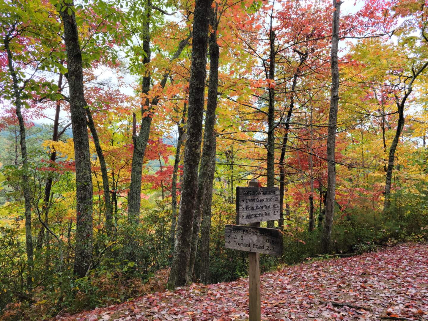
But here in the present, on this day, and on about 3/4’s of the days of the year, Bote Mountain and West Prong, are heavily vegetated. We did find a small clearing in the leaves near the trail junction on West Prong, that was open just enough to allow us to gaze across at the seemingly endless Smokies. The colour that lay before us, though not quite peak, is far better than I had expected for Fall 2023… just like a big bowl of Trix.
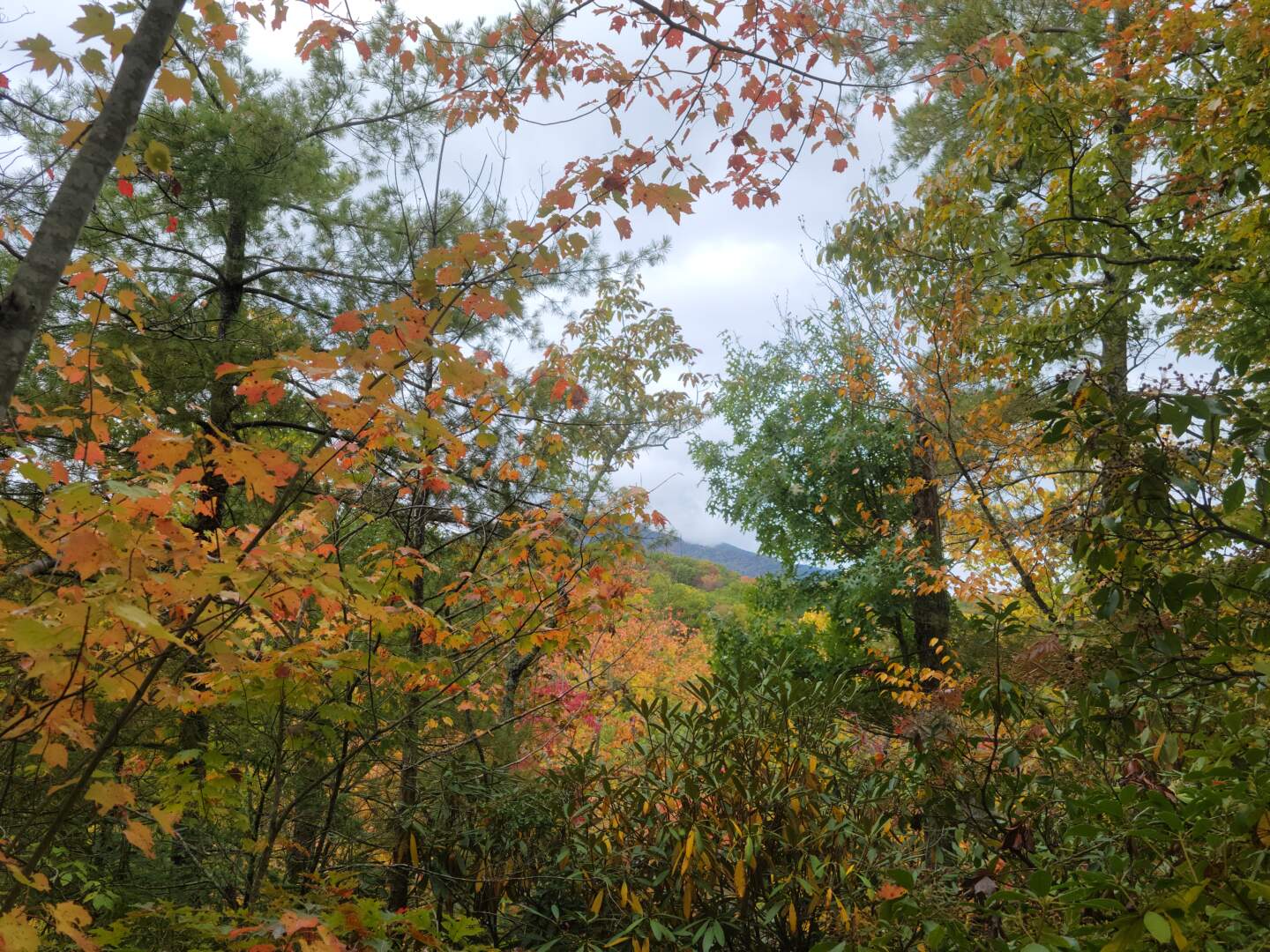
West Prong trail climbs to the top of Fodderstack Mountain then down the other side to Tremont Road. If we turned around at the top of Fodderstack, our hike to the car was mostly downhill, to continue on toward Tremont would require uphill on the return trip. We turned around at the top of Fodderstack, my legs had declared enough climbing for this day.
That said, we stopped at the top for a quick snack. As we looked around, intense green leaves came into focus, no colour! If such a thing as colour inversion occurred, it was happening here. By all appearances, lower elevation leaves had turned before the upper elevation, at least in this section of the Smokies. Fall had yet to arrive on Fodderstack Mountain.
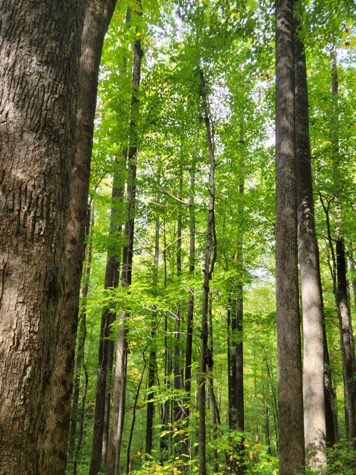
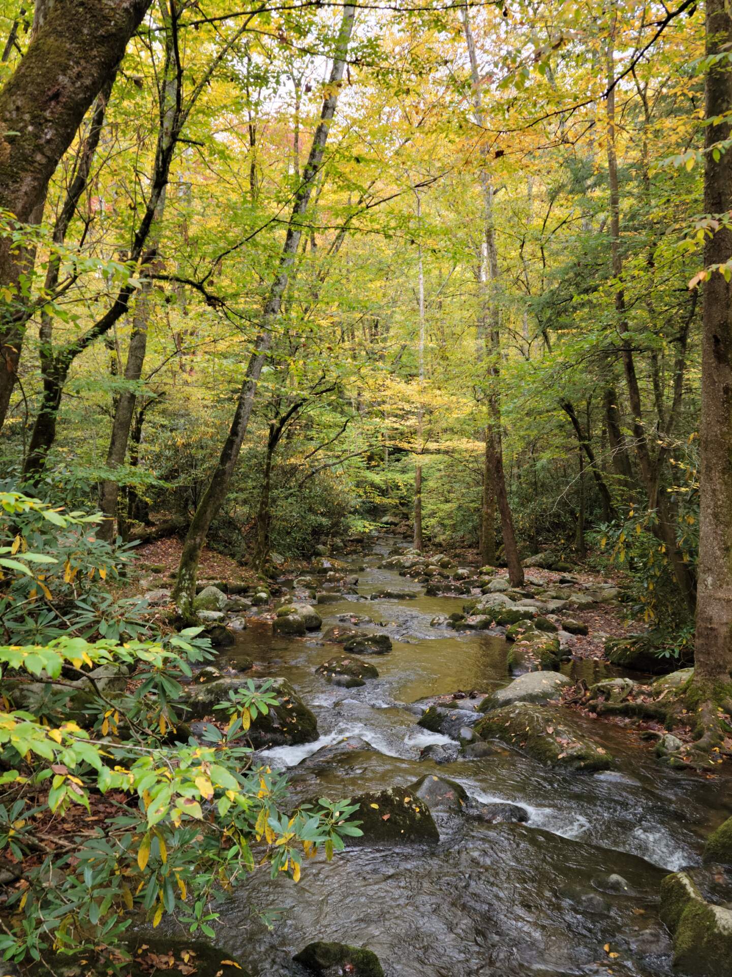
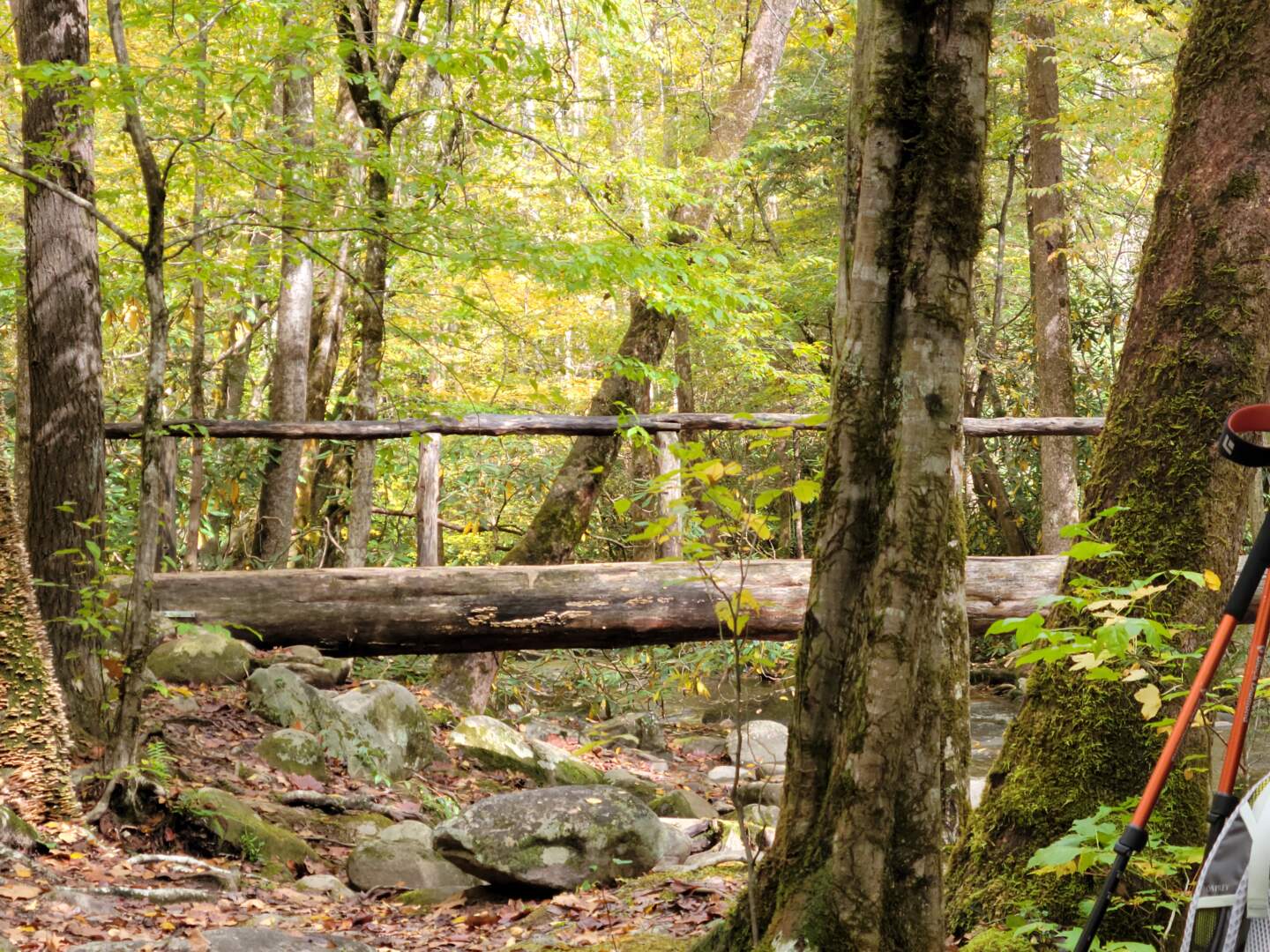
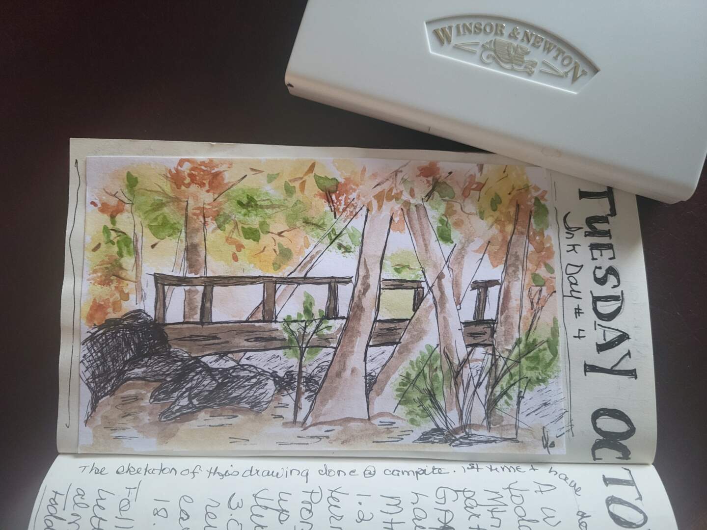
We stopped at Campsite #18 on West Prong Trail, for lunch. While “enjoying” a peanut butter sandwich, I pulled a pen and 4×6 index card out of my pack and began to sketch the footbridge over the West Prong, a very rough sketch. I am not good with ink and paper so just putting an ink line on a piece of paper is intimidating. However, this is my current challenge to myself, so this is what I did.
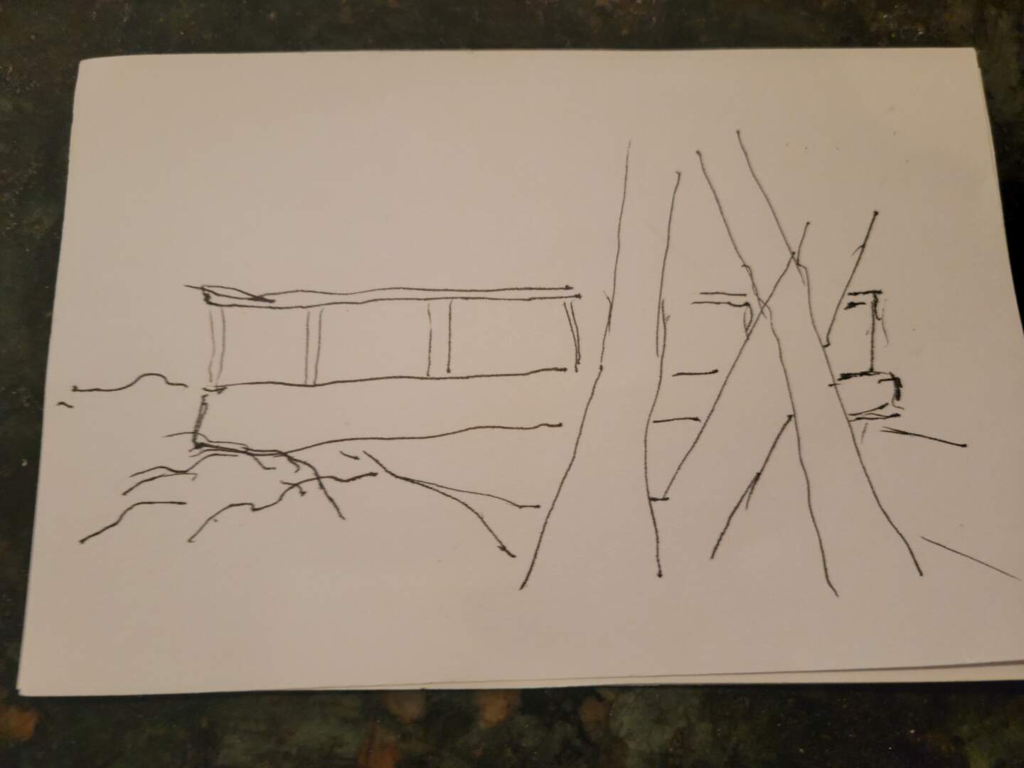
The hike back to the car was not difficult though I was glad to be done. I packed my little ink drawing down the trail and home where I filled in some more lines and added a bit of watercolour. The card was then cut down slightly and glued into a 4″x7.5″ sketchbook. This is a really small sketch area but right now, I find the smaller pages less overwhelming to fill. This process is very much a learning experience for me and a week later I still shake my head at the rocks on the left that cover up one of several of mistakes I made.
Beverly