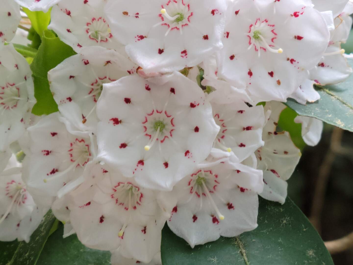
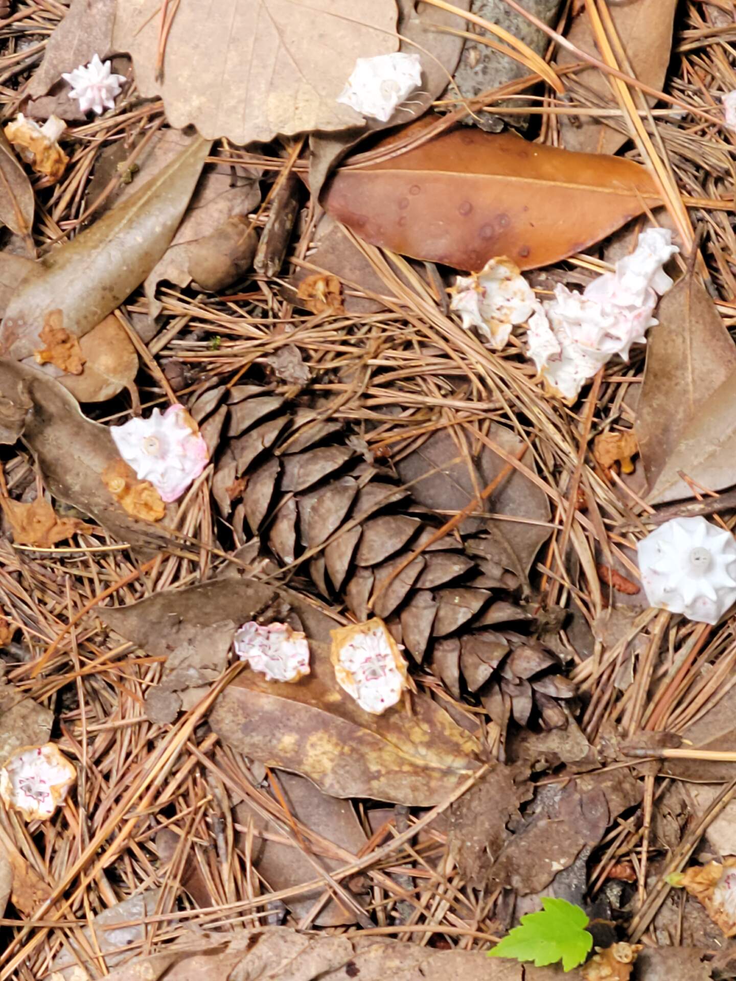
Late May, when the Mountain Laurel is in full bloom, is one of the most glorious times of the year to visit the Great Smoky Mountains National Park. Mountain Laurel grows roadside, creekside and trailside and its luscious white blooms, painted with pink accents will provide a reason for any Smokies traveler to stop and admire. Of course, we weren’t thinking about this when we made our hiking plans, we just wanted to get in a few trail miles for the week.
We picked Schoolhouse Gap Trail as our destination hike for a number of reasons but mostly because it is a gradual climb, the trailhead is located only 2-miles from the intersection of Laurel Creek Road and the Townsend Wye and because the trail dead ends near Chestnut Top Trail which would provide the opportunity to hike longer if we chose to do so, and we did.
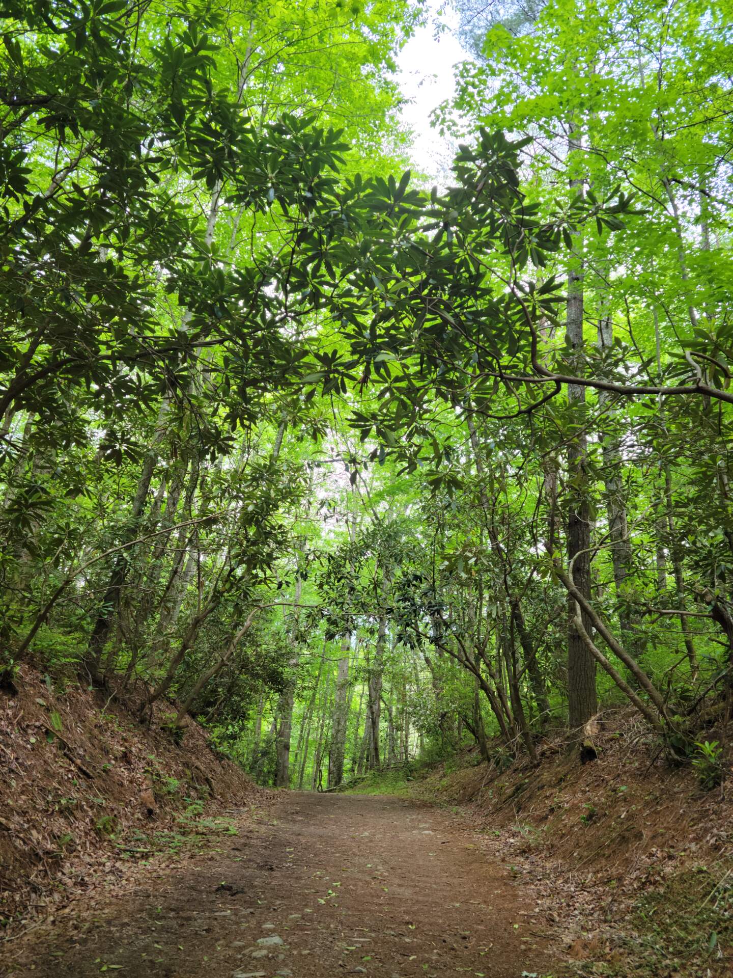
I am sorry to admit we have done very little hiking this year. In previous years we have had a regular Tuesday hiking group, but the last 10 months have brought changes to our group, one couple moved, several members have experienced injuries (mostly healed now) and we have been traveling in our van which seems to disrupt any scheduled activity. So, for all the reasons above and the fact that we were seriously questioning our hiking abilities, we did not invite anyone to go along.
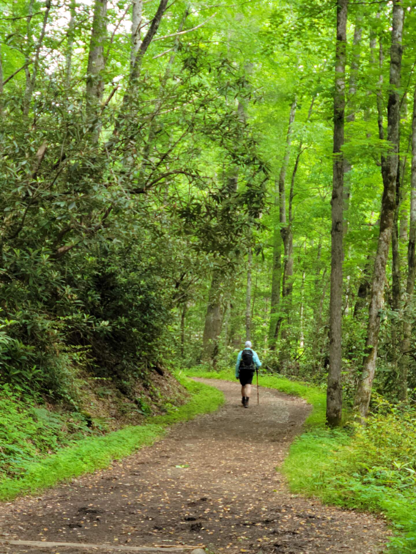
Schoolhouse Gap Trail trailhead is located in the back of a large, paved parking lot on Laurel Creek Road. Because of its gradual elevation gain and ease of hiking, the trail is a popular one in the GSMNP. We have driven by the parking lot many times on the way to another hike and the lot is rarely devoid of cars. Schoolhouse Gap is also popular with horseback riders and several spots in the parking area accommodate horse trailers.
We were lucky on Tuesday, May 23rd, the day we hiked this trail. The parking lot was almost empty on arrival and the weather was hike perfect, sunny with some clouds, mid-70’s, breezy, low humidity and few bugs. We saw few hikers on the way out but more on the hike back.
Schoolhouse Gap Trail begins next to a creek, Spence Branch. About 1-mile in, Turkey Pen Ridge Trail branches off to the left and just beyond the Turkey Pen turnoff, an unmarked trail, White Oak Sinks turns off. White Oak Sinks is known for an incredible display of spring wildflowers and also for several caves, one of which is the winter home to an endangered species of bats, the Indiana Bat. The caves are closed to hikers to protect the bats and hikers. Though not known to be transmissible to humans, white nose syndrome has been detected in some bats wintering in White Oak Sinks.
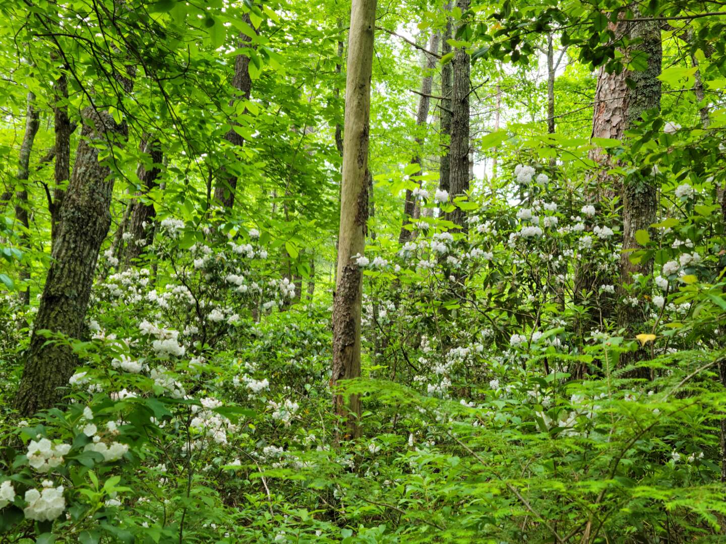
But I have drifted away from the Mountain Laurel. Early into the hike we began to see glorious Mountain Laurel bushes. At first, we spotted a handful of bushes scattered here and there, but as we continued to hike, the denser the bushes became. After turning a bend or two, maybe 1.3-miles into the hike, we stopped, stunned by the concentration of bushes. As far as we could see into the forest, Mountain Laurel was visible. I don’t remember seeing this concentration of bushes before. I am sure such displays can be found elsewhere in the park, but I just don’t remember such a splendid view.
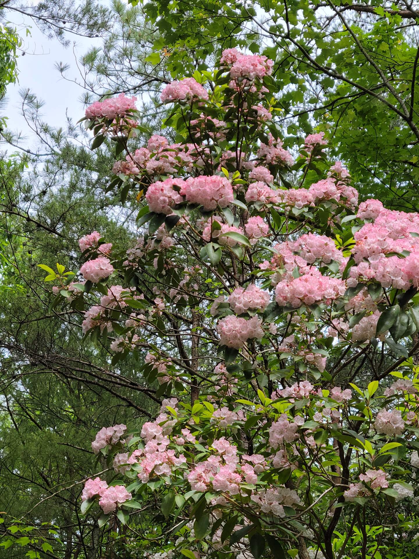
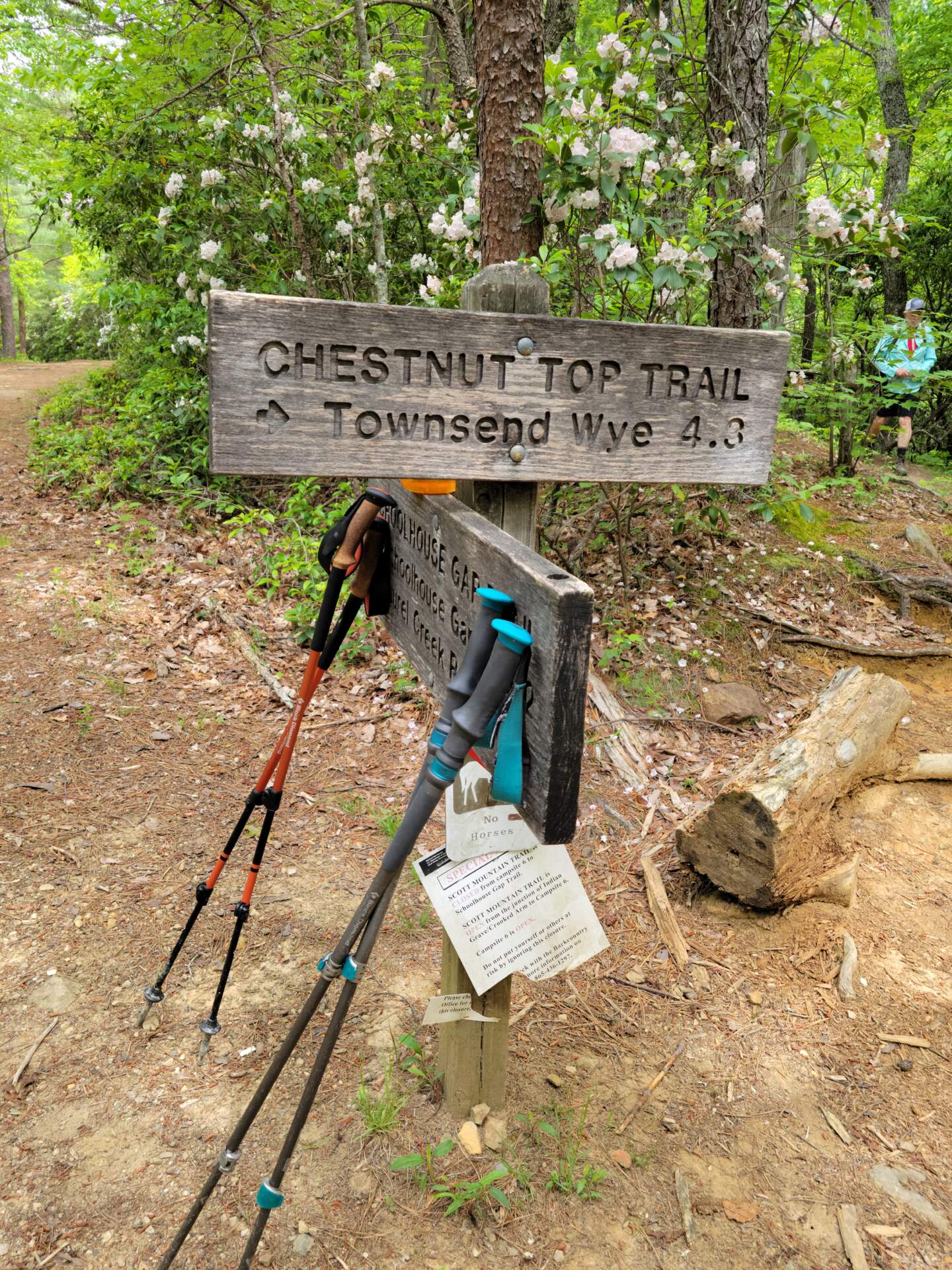
The trail crests at the junction with Chestnut Top Trail, which cuts off to the right. From the trailhead to the junction is about 2.2-miles. We continued on Schoolhouse Gap an additional .2 miles to the park boundary where the trail ends, then turned around and cut off on Chestnut Top Trail to gain some additional mileage. Mountain Laurel was beautiful at the trail junction.
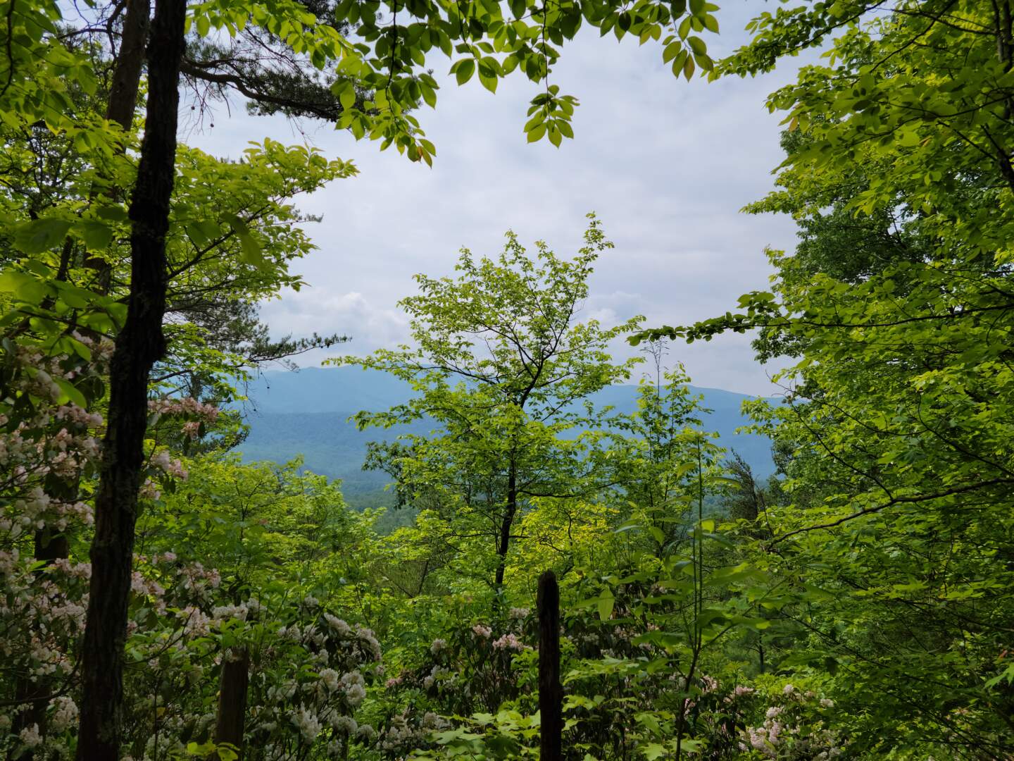
We hiked about a mile out on Chestnut Top, then back, stopping along the trail to enjoy one of the few vistas where distant mountains are visible. Hoping to avoid the hikers we expected to see on the hike back to the car, we found a peaceful lunch spot before returning to Schoolhouse Gap Trail.
From the moment we returned to Schoolhouse Gap Trail, we saw hikers coming up the trail. The 10 or more hikers we passed were in various degrees of preparedness, but we only saw one girl who was, what I would call, dressed for instagram photos. The hike down was quick and easy and we were back to the car and on the way home too fast. We had enjoyed our hike more than anticipated.
The total hike for us was 6.19-miles with 788′ of ascent. We spent 2 hours 38 minutes on the effort excluding lunch.
