It was cool this morning after yesterday’s round of thunderstorms. As the dog and I walked around the yard looking for her “perfect spot”, I could hear a flock of Canadian geese quacking in the distance. I guessed they were going in for a landing on the nearby river. Fall was in the air for a few precious moments. In reality, we still have a couple of months of heat and humidity before the temperatures cool and the leaves begin to put on a colorful show.
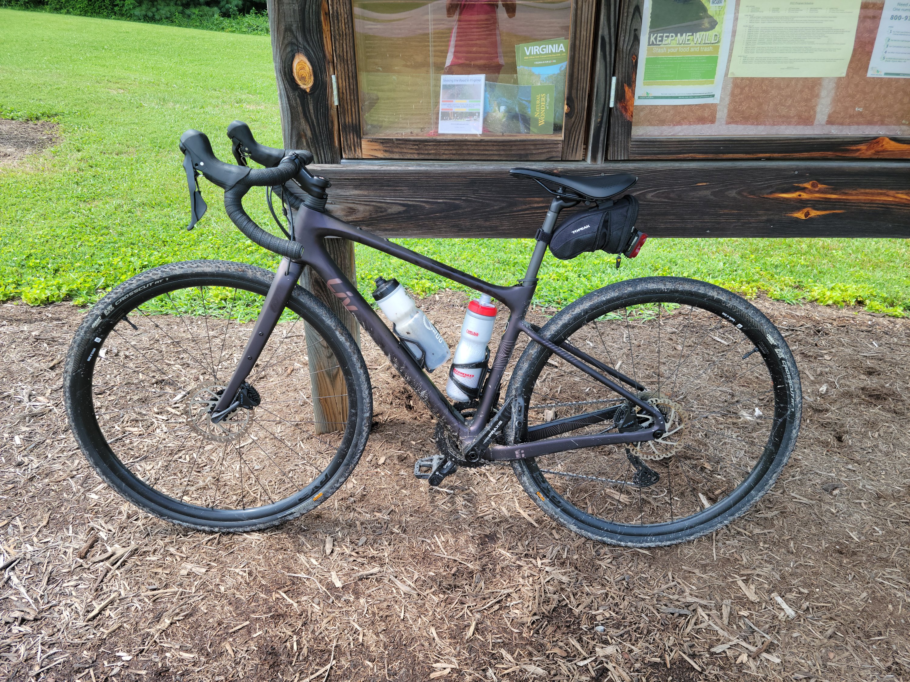
Several weeks ago, the day before we purchased the van, we went for a bicycle ride. The original plan had been a backpack, but an overnight forecast of high wind and thunderstorms opened up a couple of days to fill with other activities. John spent some time googling bike trails and came up with new to us rail to trail, The Wilderness Road Trail in Ewing, VA. The drive (150-miles, about 3.0 hours roundtrip) would likely exceed the cycle time by double, but we decided the new area, new trail would be worth the effort.
We arrived at the Wilderness Road State Park Visitors Center late morning. While we have spent time backpacking and otherwise exploring nearby Cumberland National Historical Park and Cumberland Gap, TN, this lovely state park was a nice surprise. Park employees were immensely helpful and the rail to trail was located directly behind the park building. The park buildings are free, but we paid $5.00 to leave our car in their lot. Well worth the money for easy access to the park facilities.
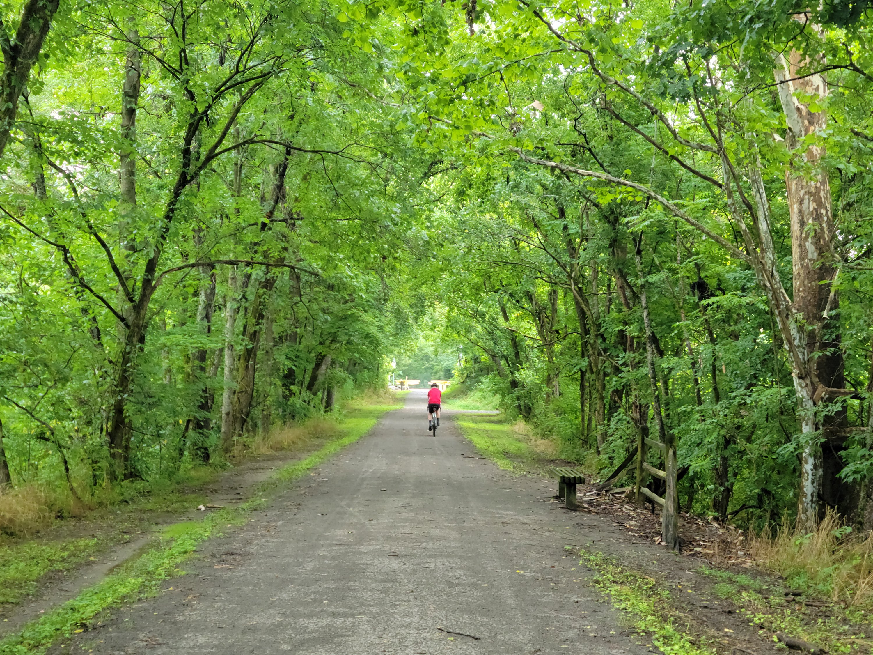
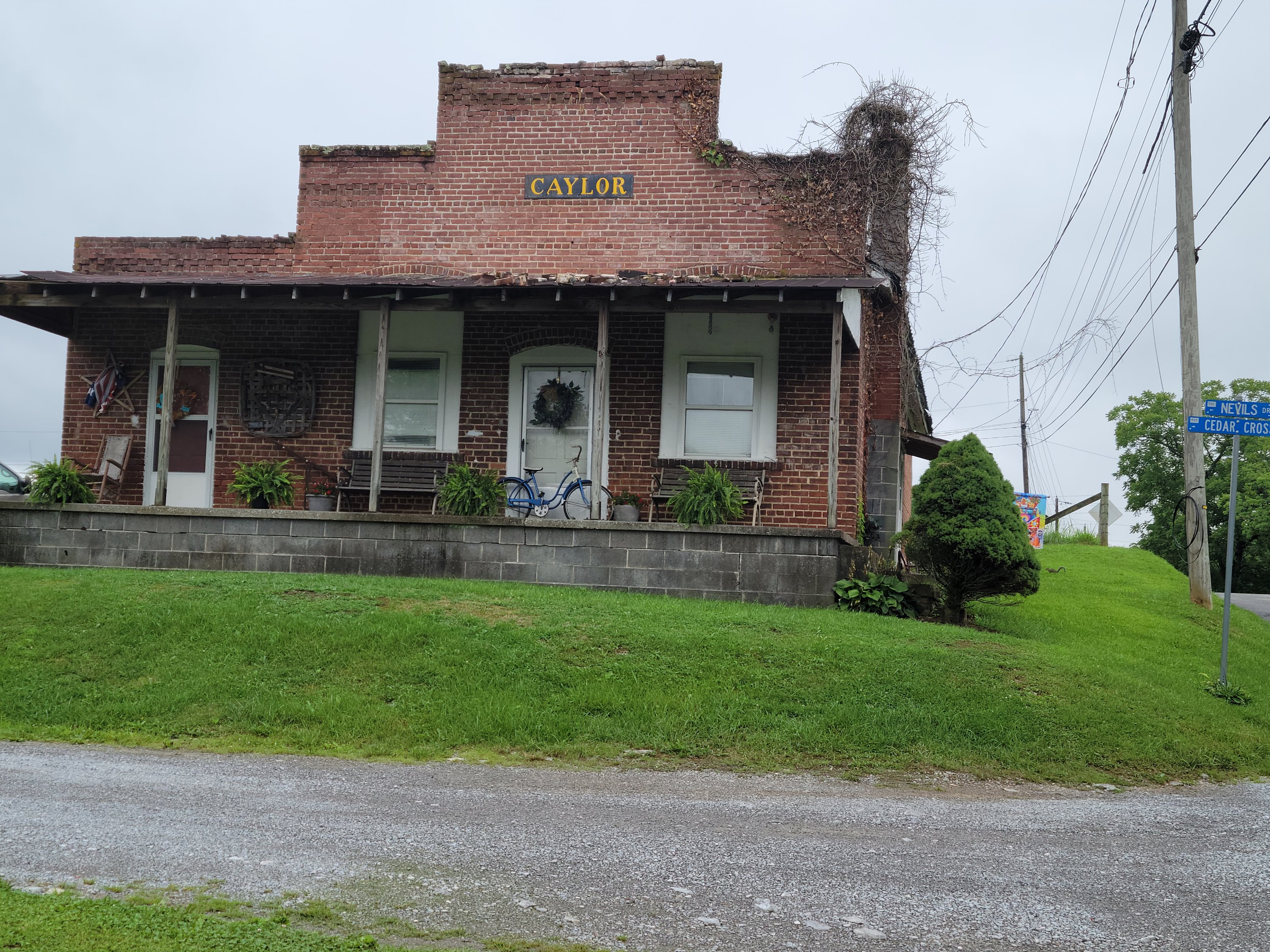
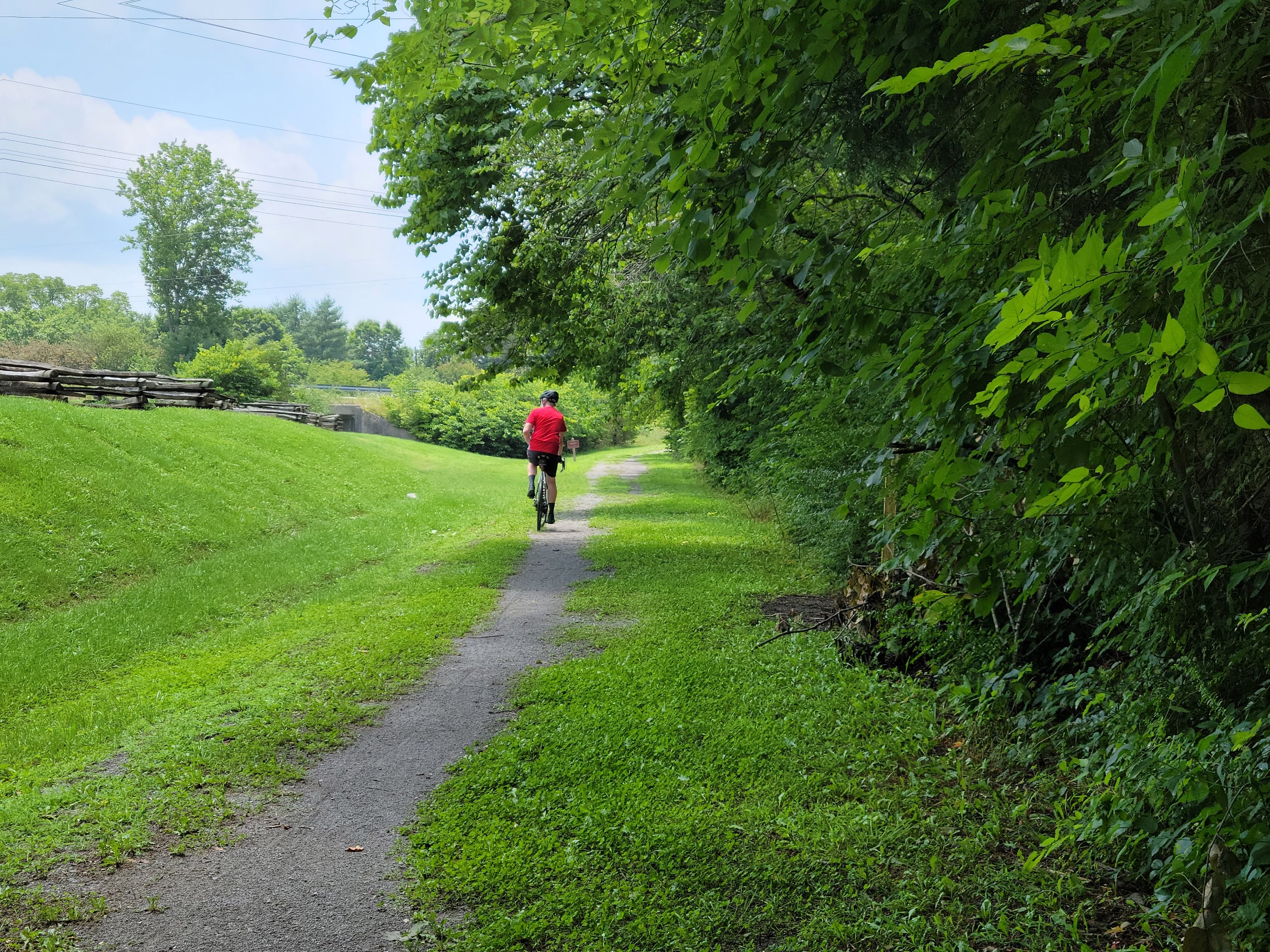
From the Visitors Center, we headed east on the crushed gravel surface, dust tamped down by the previous night’s rain. The late morning sky was overcast, and fog partially obscured the views of the Cumberland Mountains over our left shoulders. We cycled mostly under a canopy of beautiful greenery, something we appreciated as the sun burned through the clouds. Several walkers, cyclists and runners waved as we passed. Friendly people, friendly town.
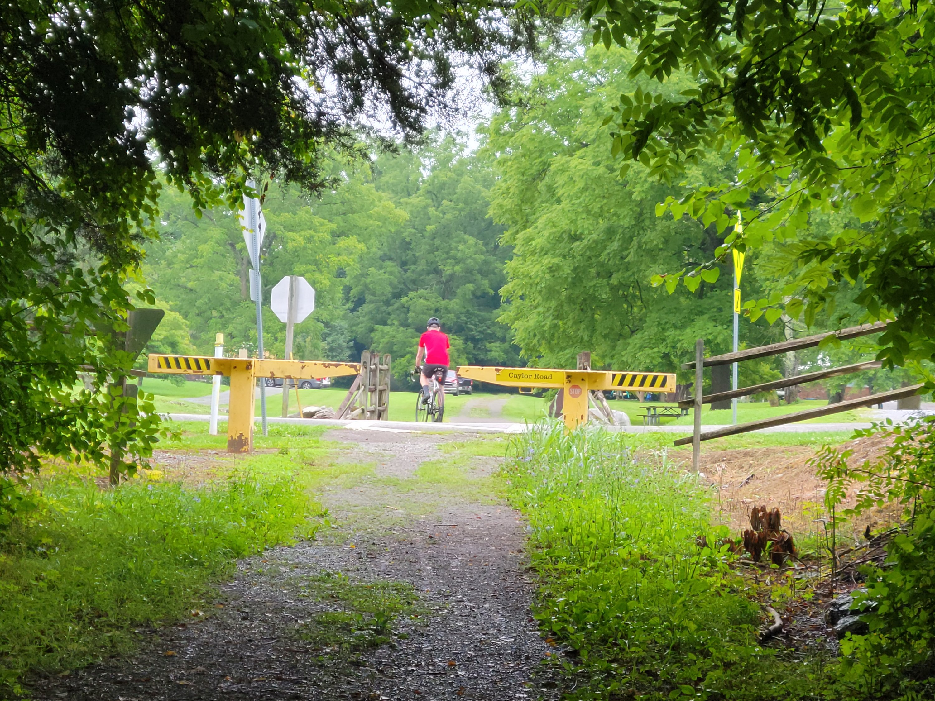
I particularly appreciated the yellow barriers that marked places where the trail crossed over public and private roads. The crossings were few and we saw only one car, but the barriers were a reminder to stop and look. The Wilderness Road Trail parallels Hwy 58. The highway is lightly traveled (or at least lightly traveled on the Wednesday we visited) and could rarely be seen from the trail, so we tended to forget it was there.
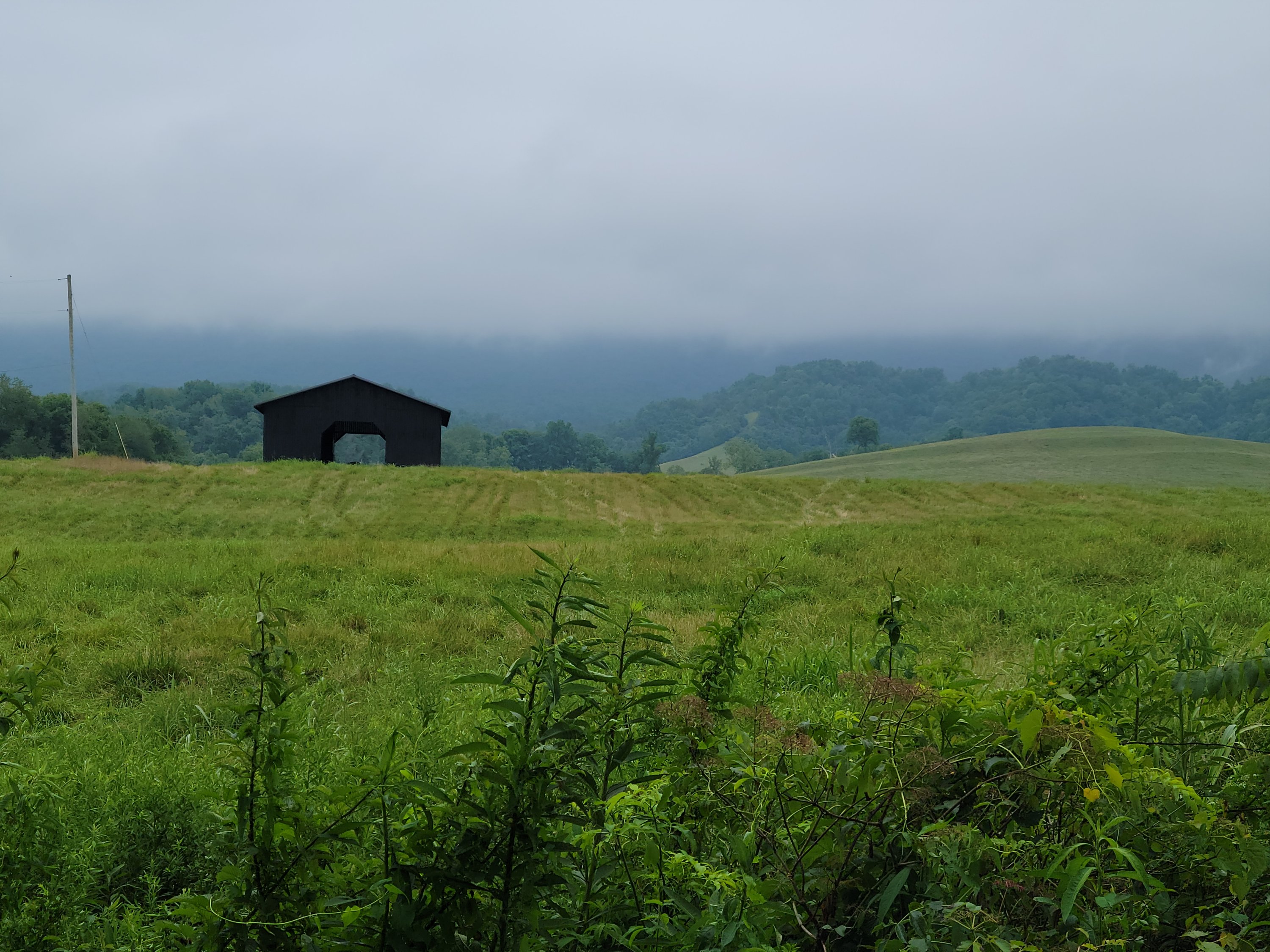
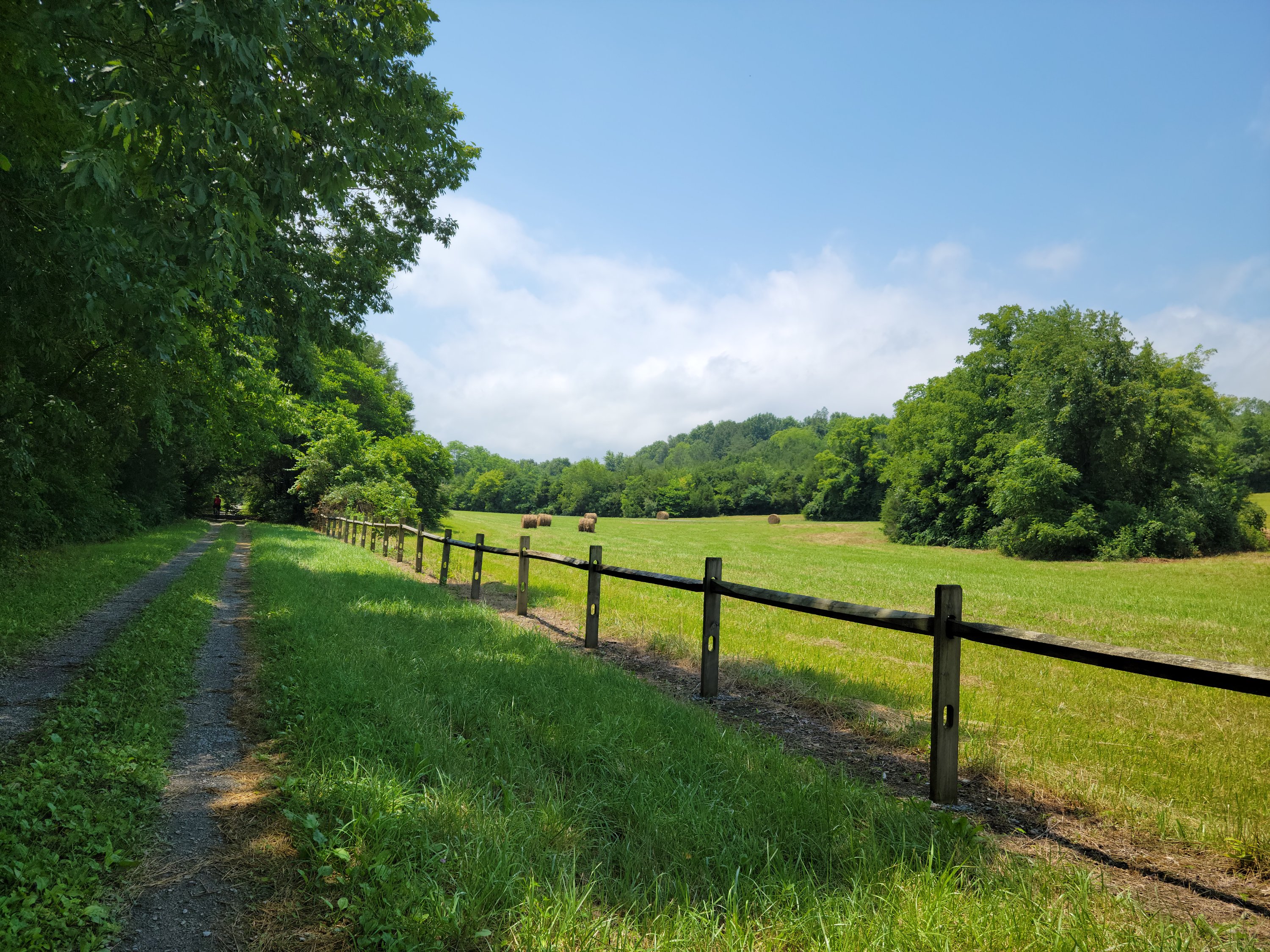
Sections of the Wilderness Road Trail reminded me of another more famous Virginia Rail to Trail, the Virginia Creeper. The piece of Wilderness Trail pictured below is similar to the Creeper section just out of Damascus (heading to Abingdon) with gravel, farmland and a “divided” trail with grassy median in the center.
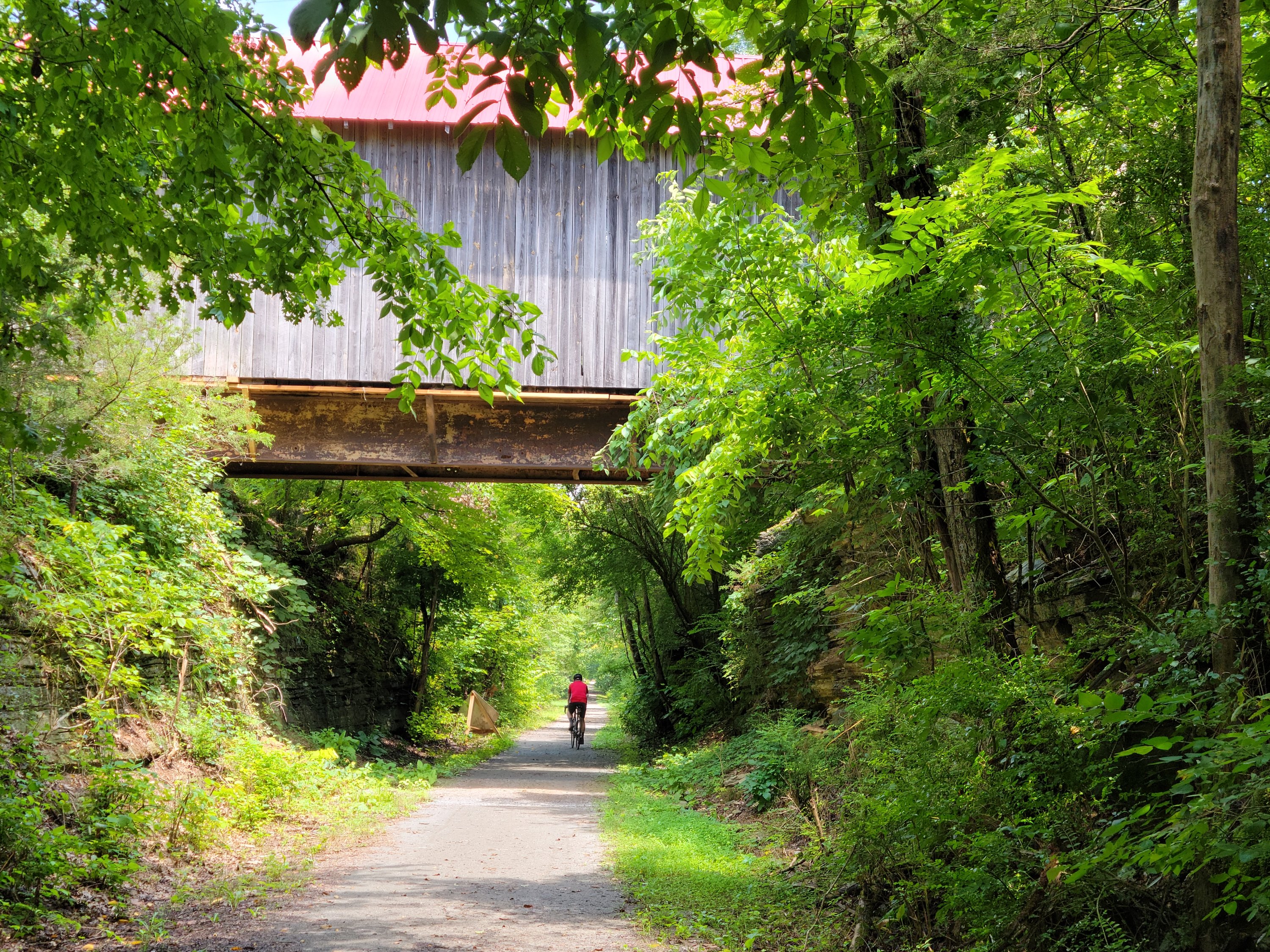
The trail is billed as 8.5 miles one way, but in conversation with a park employee, we discovered that the last 2ish miles on the west end (actually a little less) is maintained by VDOT and really not maintained at all. Bicycling over the VDOT section was discouraged.
As I said above, trail dust was low due to an overnight rain, but a wet, gritty paste flew over everything… our shirts, legs, water bottles and bike bags. The grit also landed in our bikes’ nooks and crannies. What a mess to clean up!
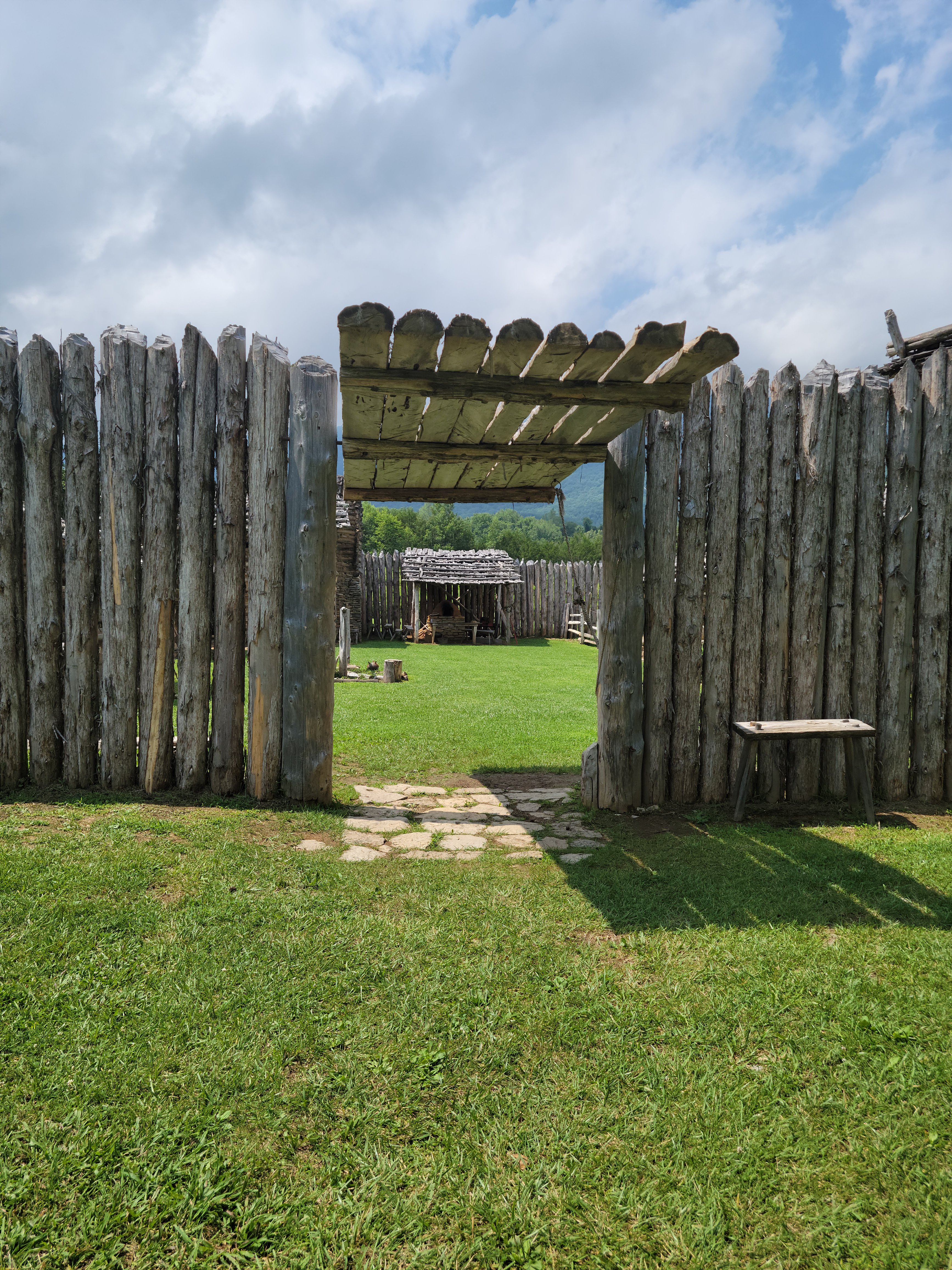
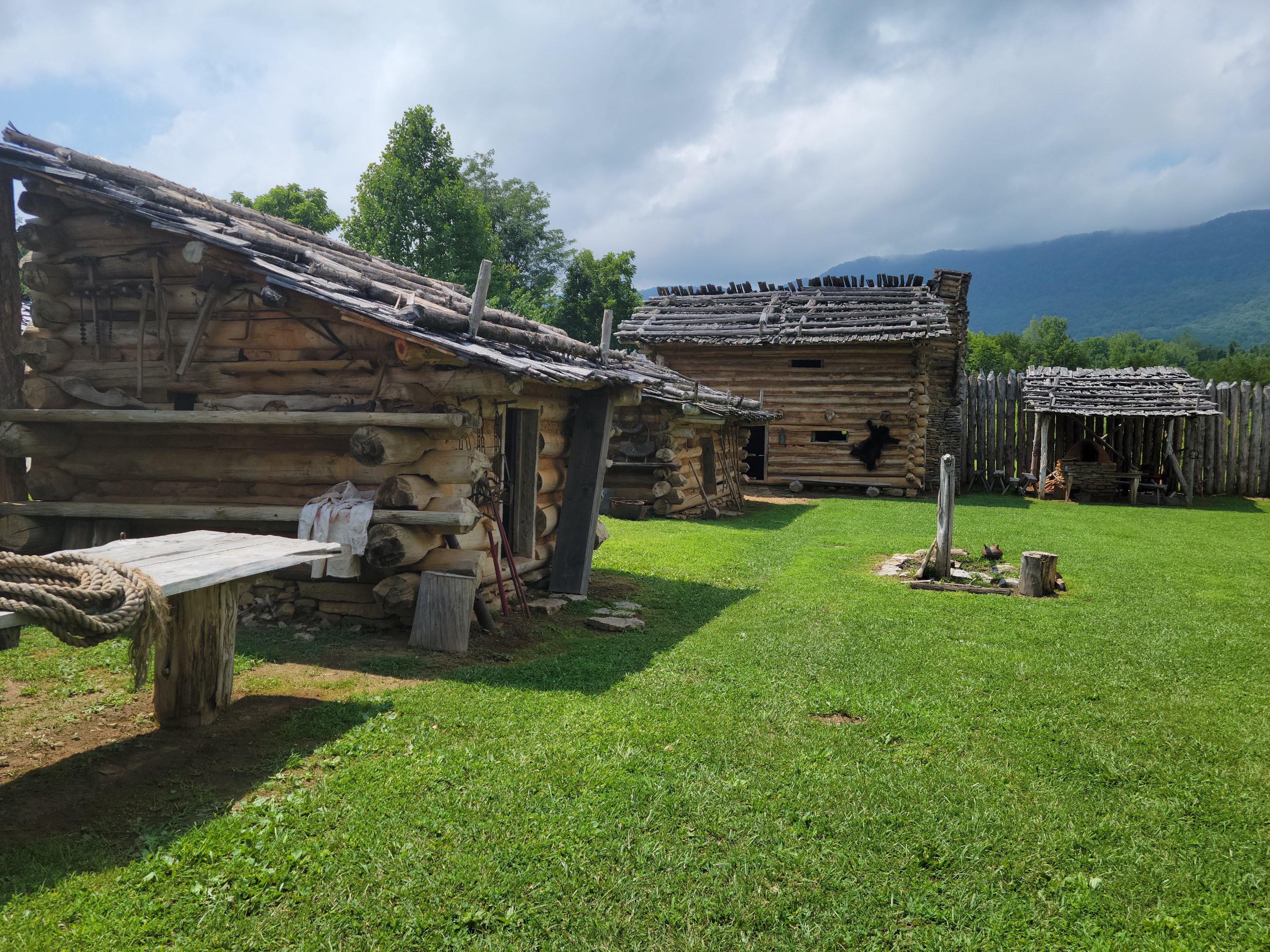
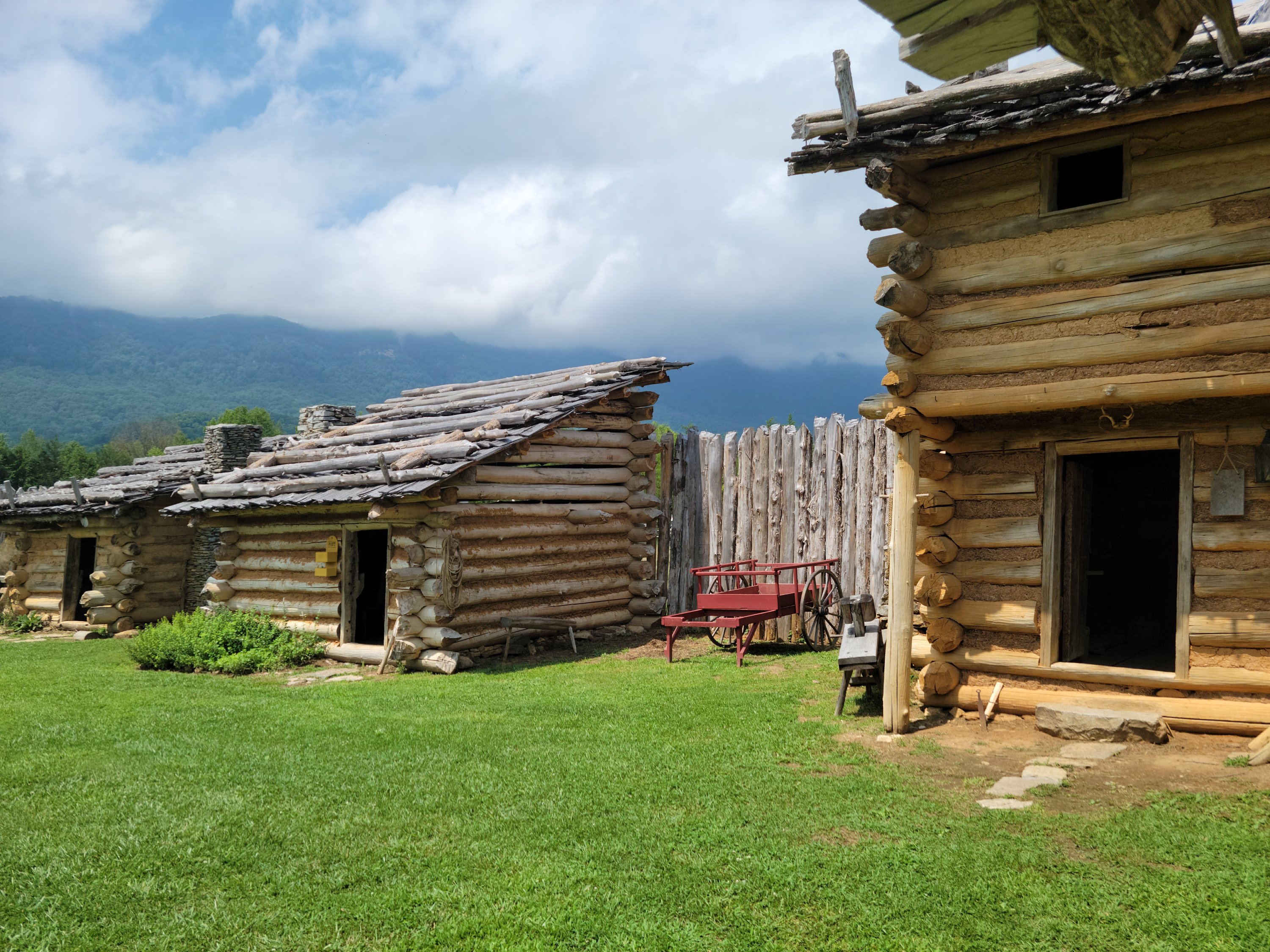
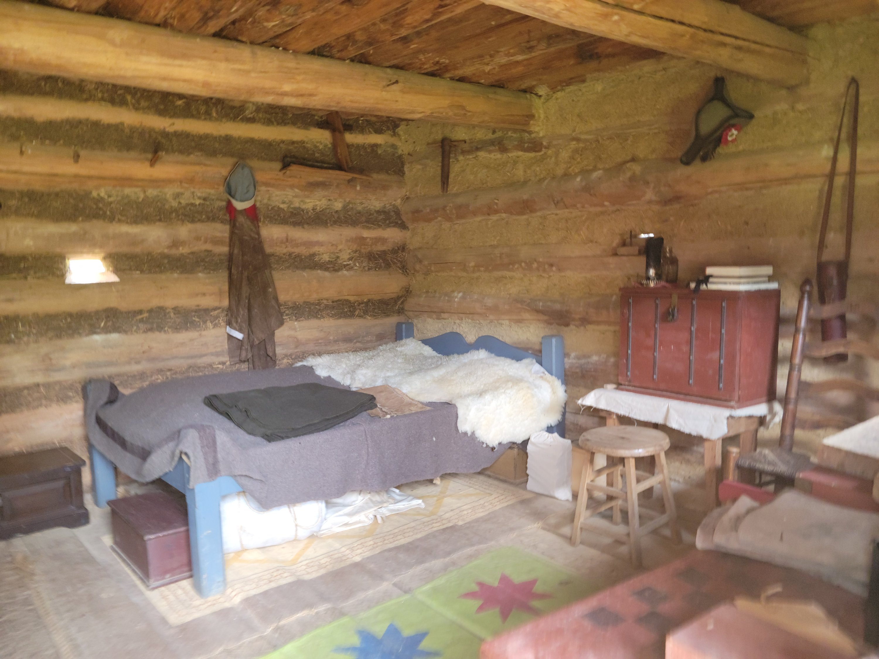
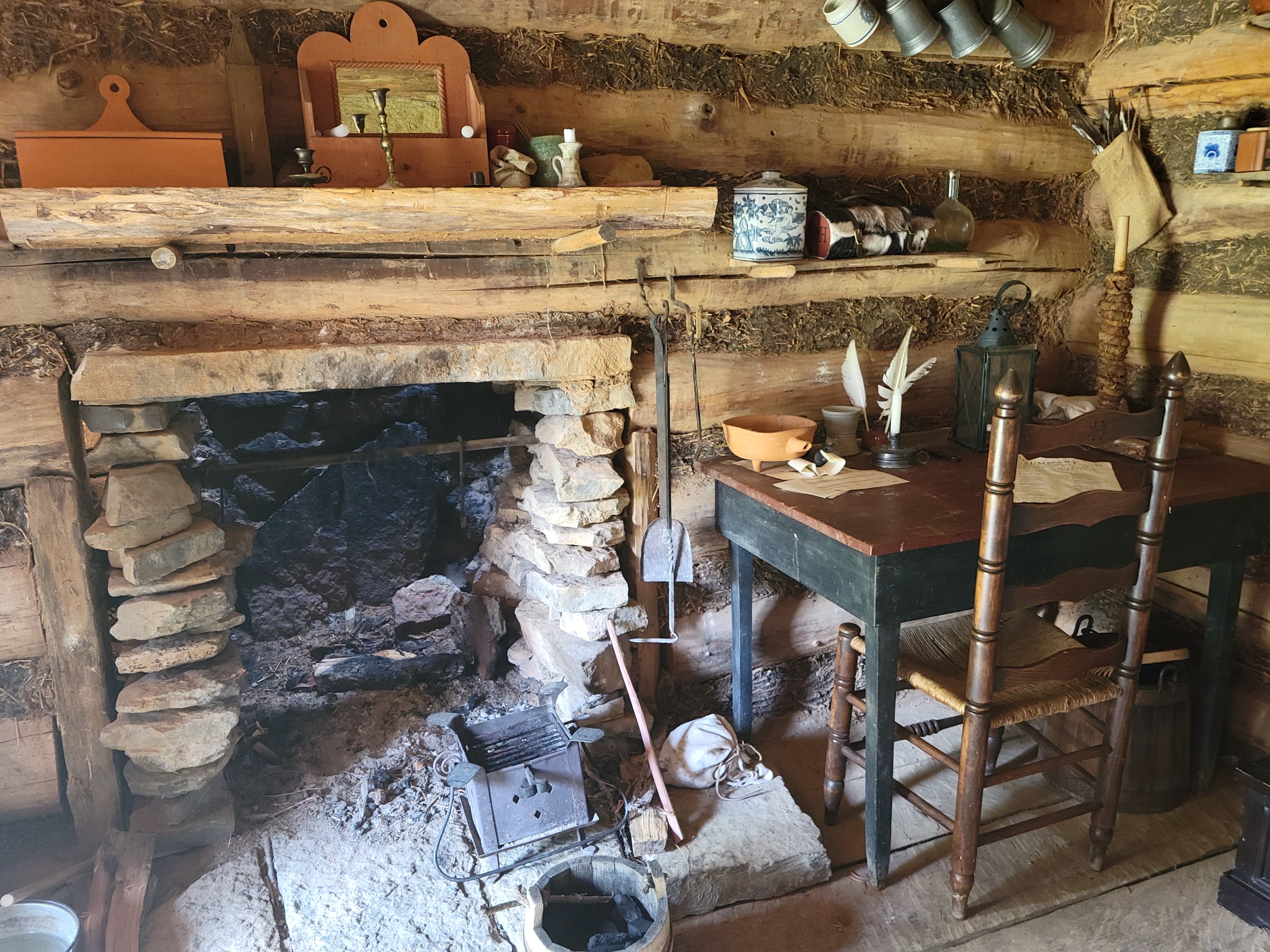
To add mileage to 13-miles of ridable trail (round trip), we circled behind the Visitors Center on a paved road where we found Martin’s Station. Martin’s Station is a reconstructed frontier fort and was one of the earliest fortified settlements along the Old Wilderness Road.
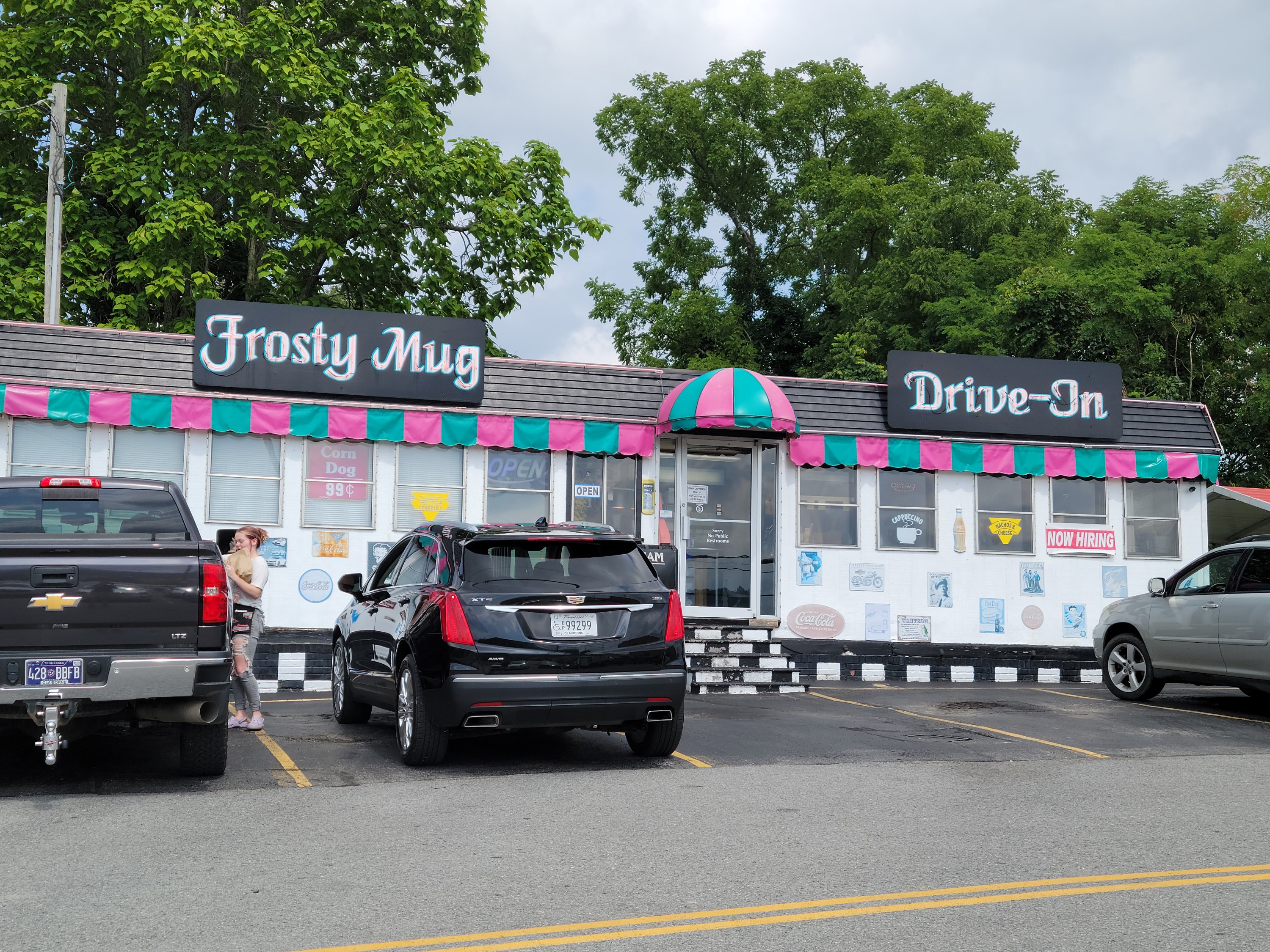
Our final stop was in Harrogate, TN at the vintage inspired Frosty Mug Drive-In. Known for burgers, fries, potato tots, onion rings and ice cream, the Frosty Mug was a perfect place to refuel. No speakers at the drive-in, servers walk up to your car with menus, a pad of paper and a pencil!
bls