Date: June 5, 2021, Dayhike
Total Hike: 7.57 miles, 1082′ elevation gain
Saturday we took a hike on Lower Mt. Cammerer trail, an out and back hike to Campsite 35. With six nights in the Wind Rivers looming in late summer, we ignored the desire to bicycle and decided to hike instead.
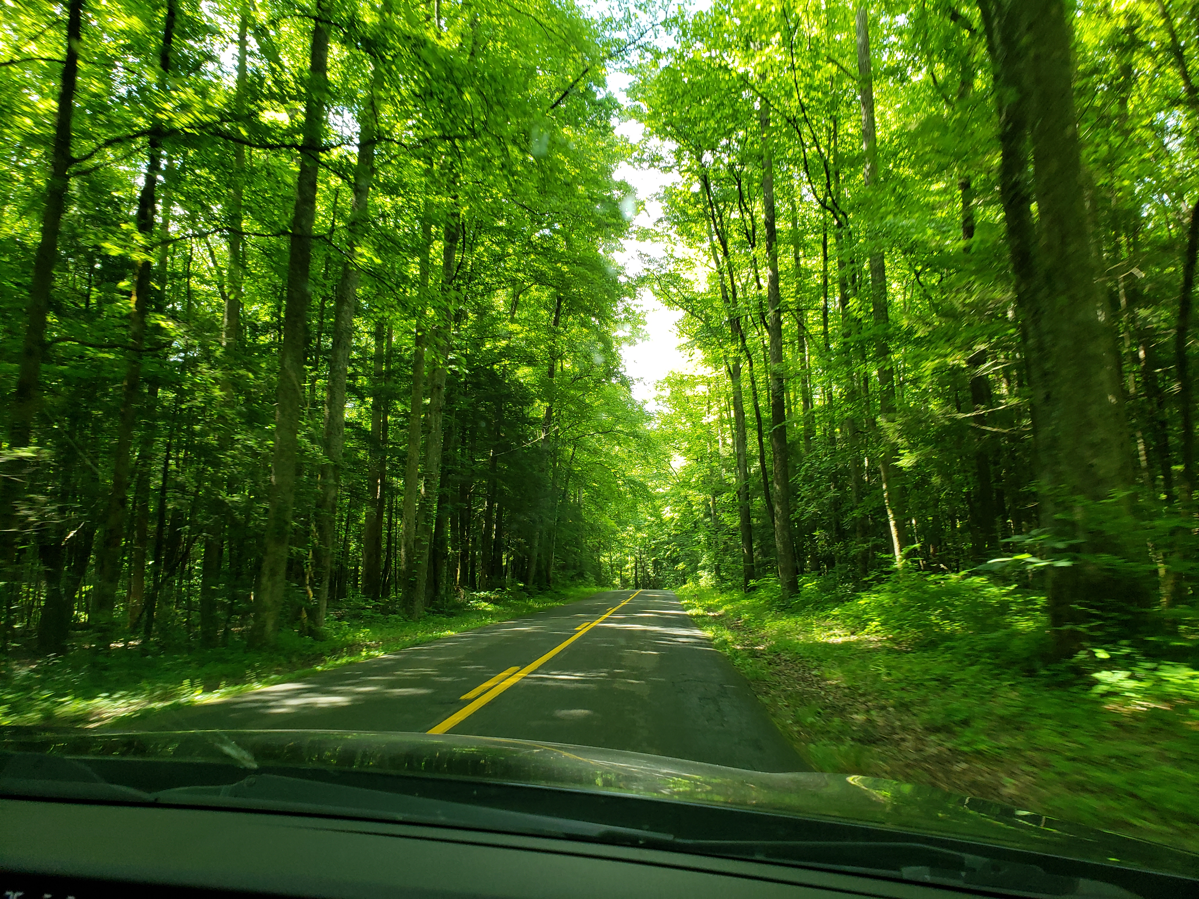
Lower Mt. Cammerer trailhead is located in the Cosby campground in the northeast corner of the Great Smoky Mountains National Park. Summer in the park is lush, green and very humid and this day combined with this trail was a fine example of such. Even the drive into Cosby campground is heavy with vegetation.
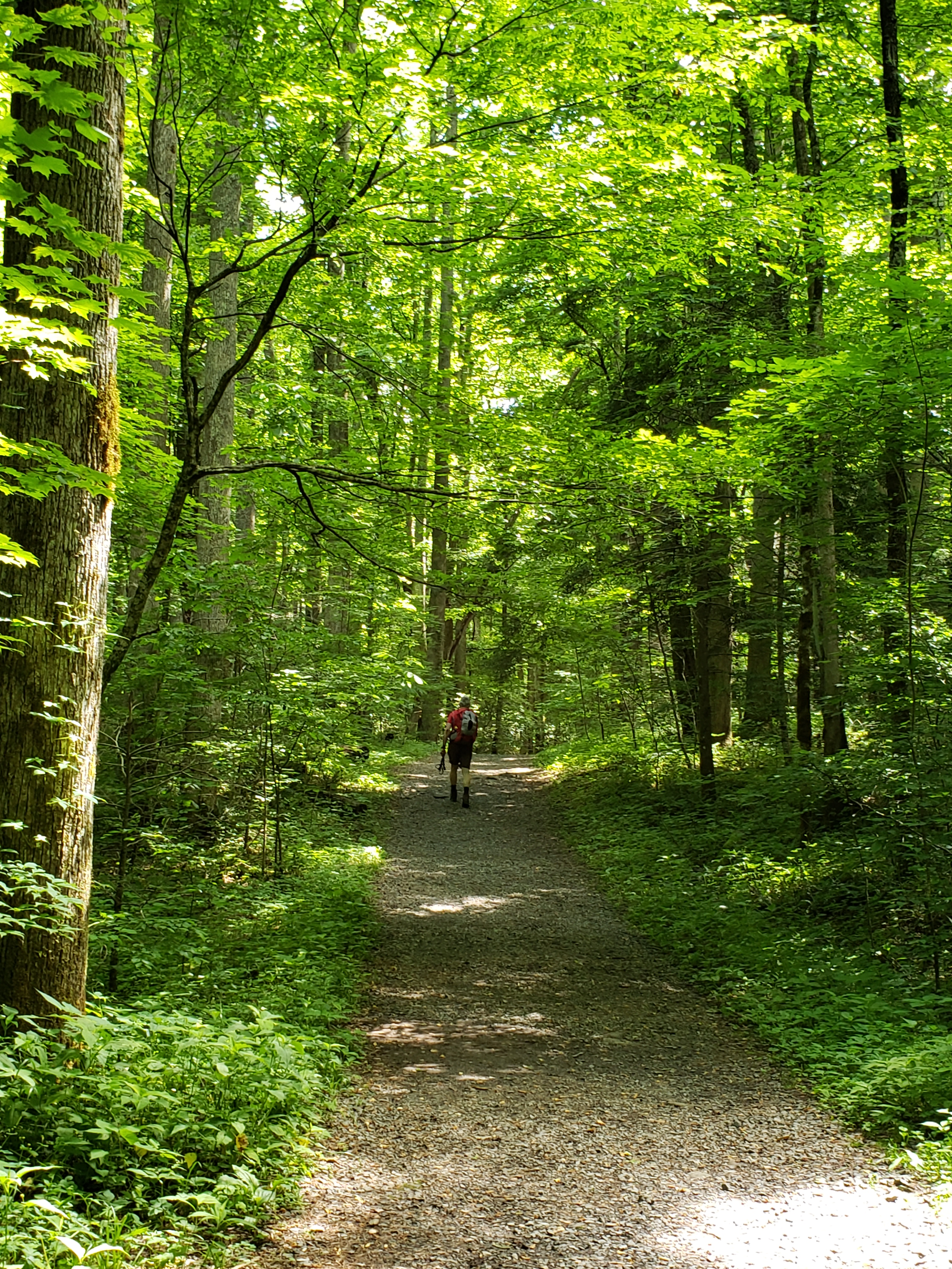
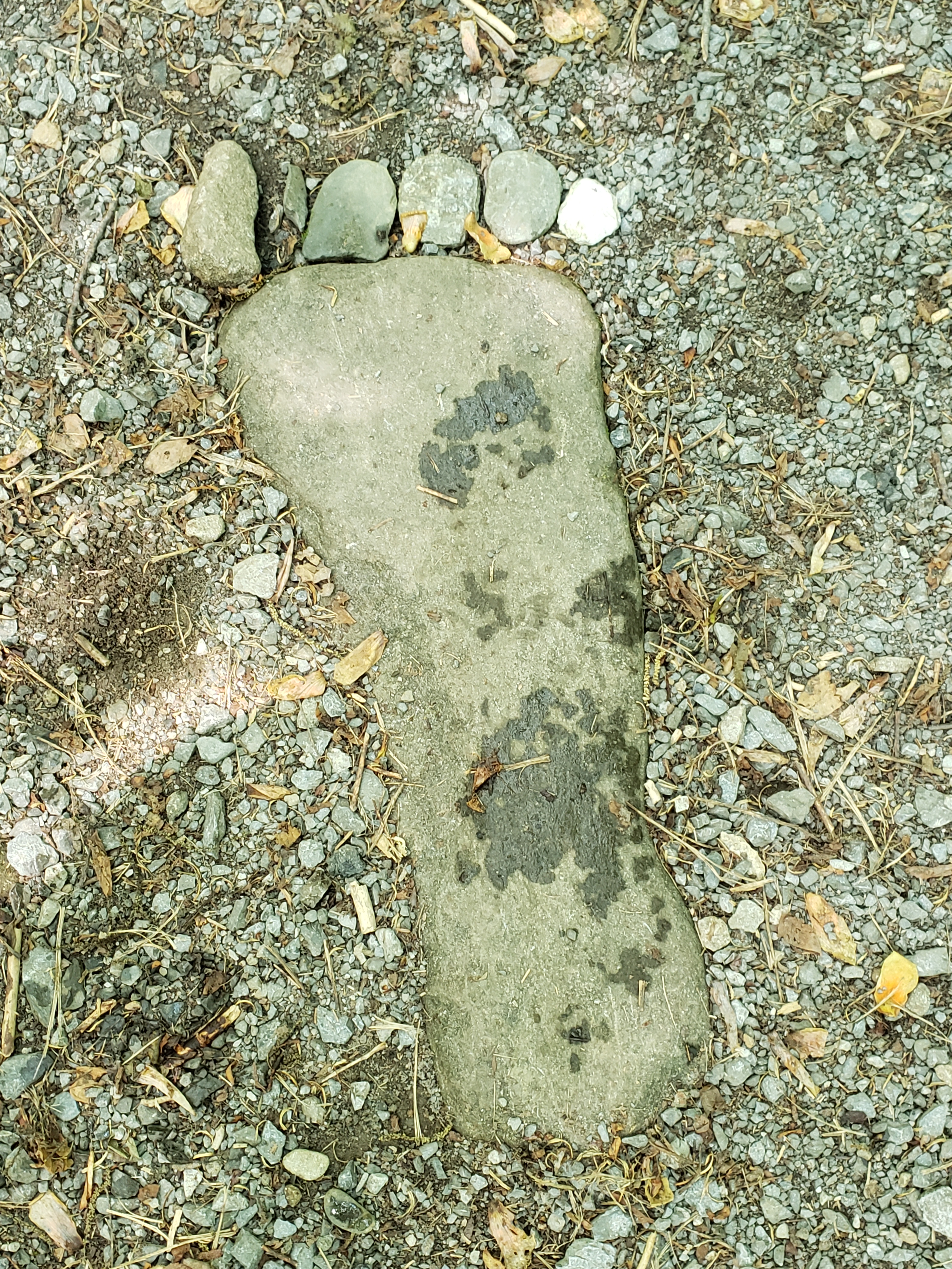
Lower Mt. Cammerer trail begins as a gravel road and gradually climbs uphill. Along the way the trail has several water crossings. Tom’s Creek is the first notable crossing. We discovered this “foot” just before Tom’s Creek, the product of a creative mind.
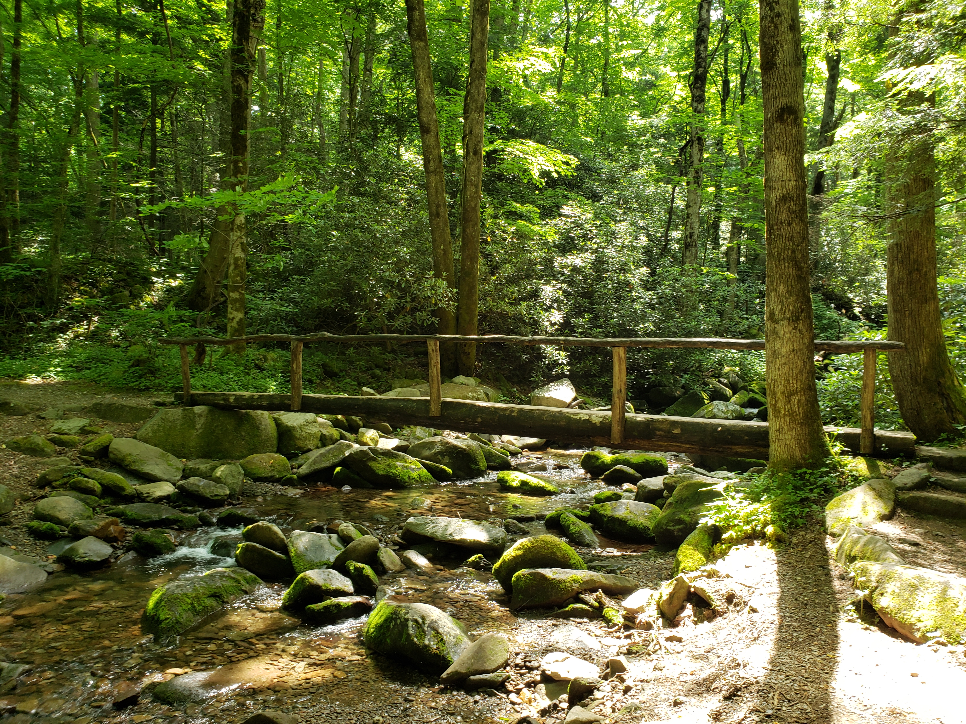
The sturdy log bridge below makes crossing Tom’s Creek a breeze. At this spot, the creek is about 1/2 mile from the campground and in the summer families frequent the chilly mountain water. Most of the other crossings along the trail are rock hops and easy to cross.
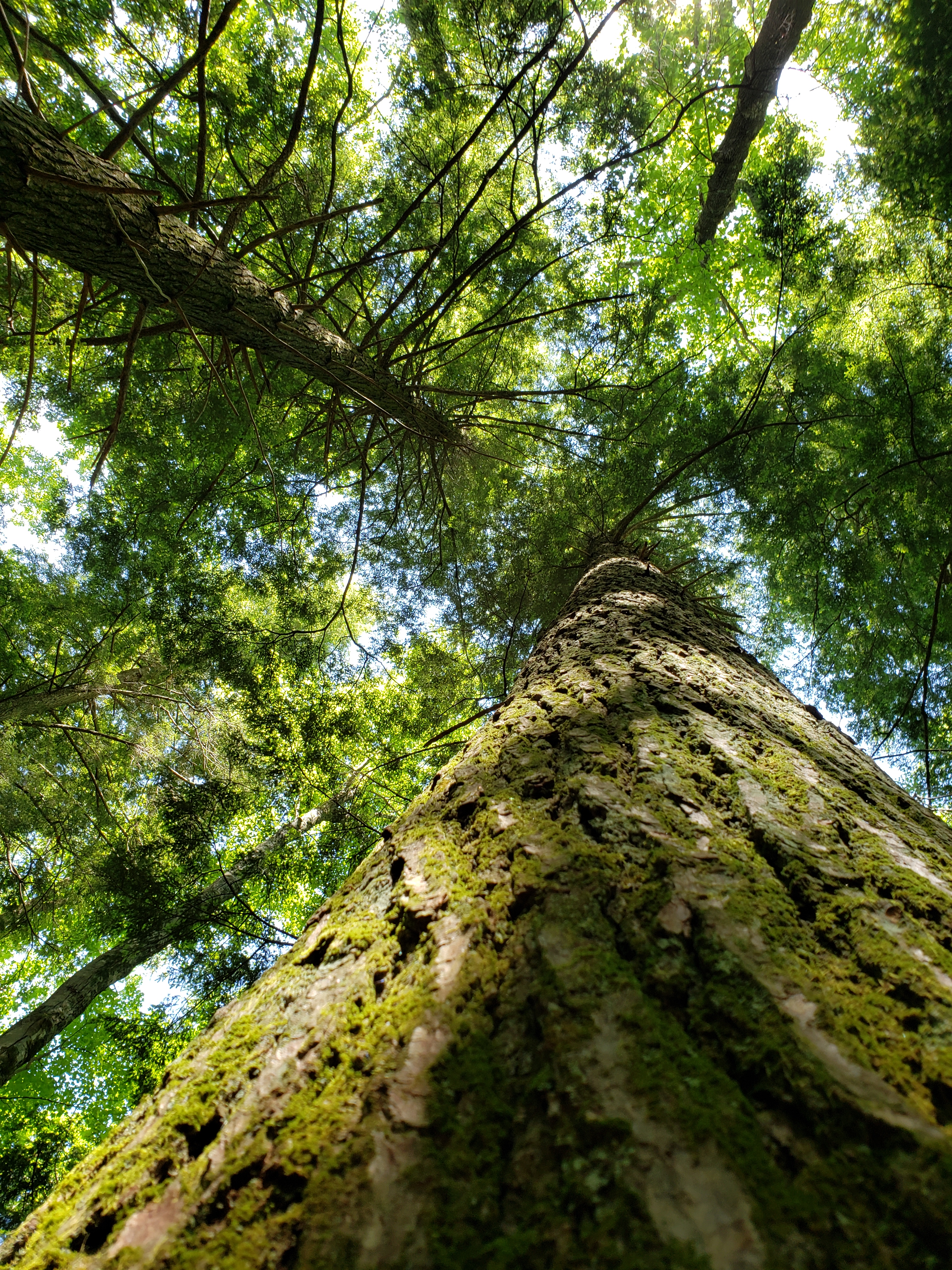
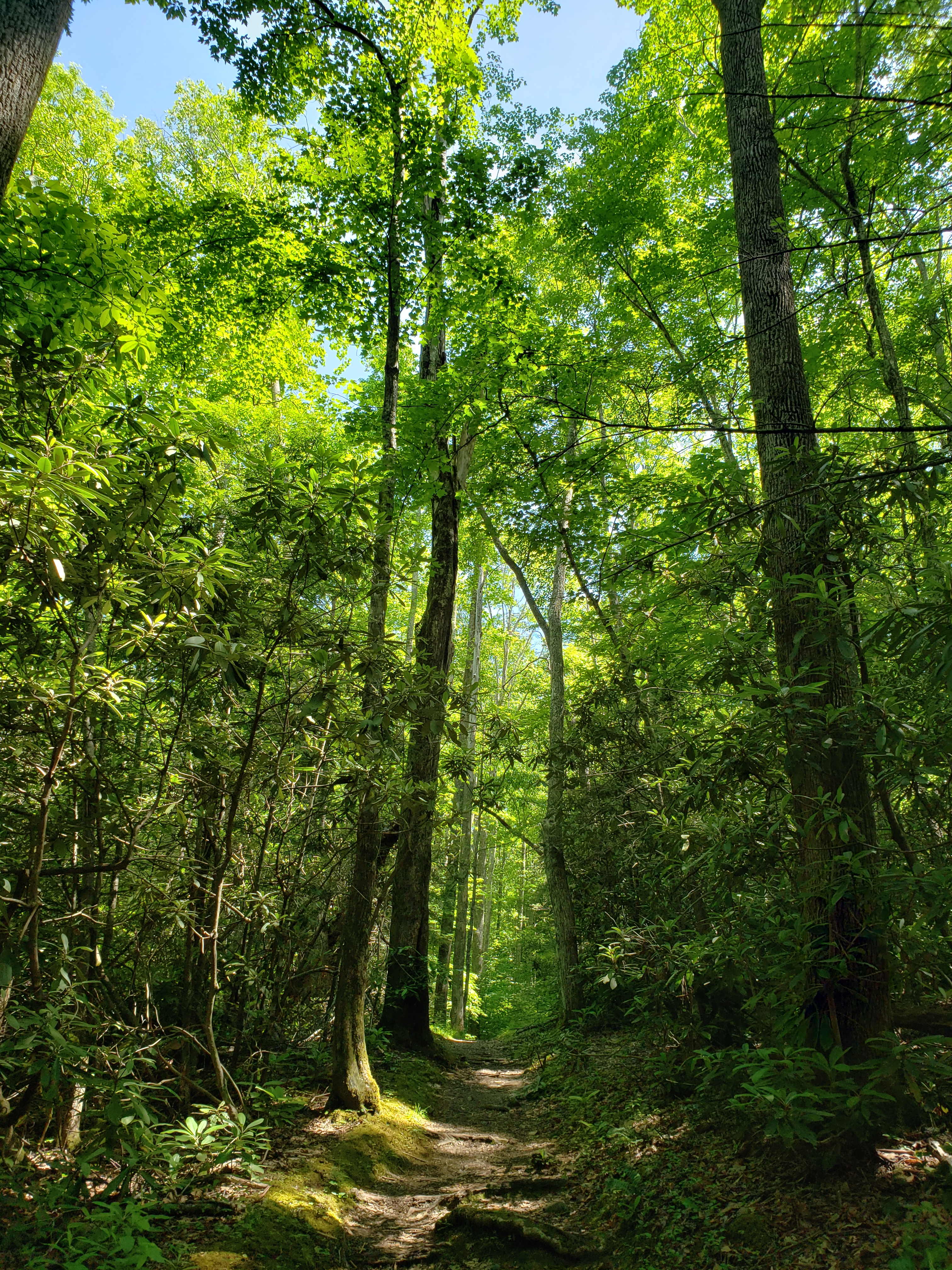
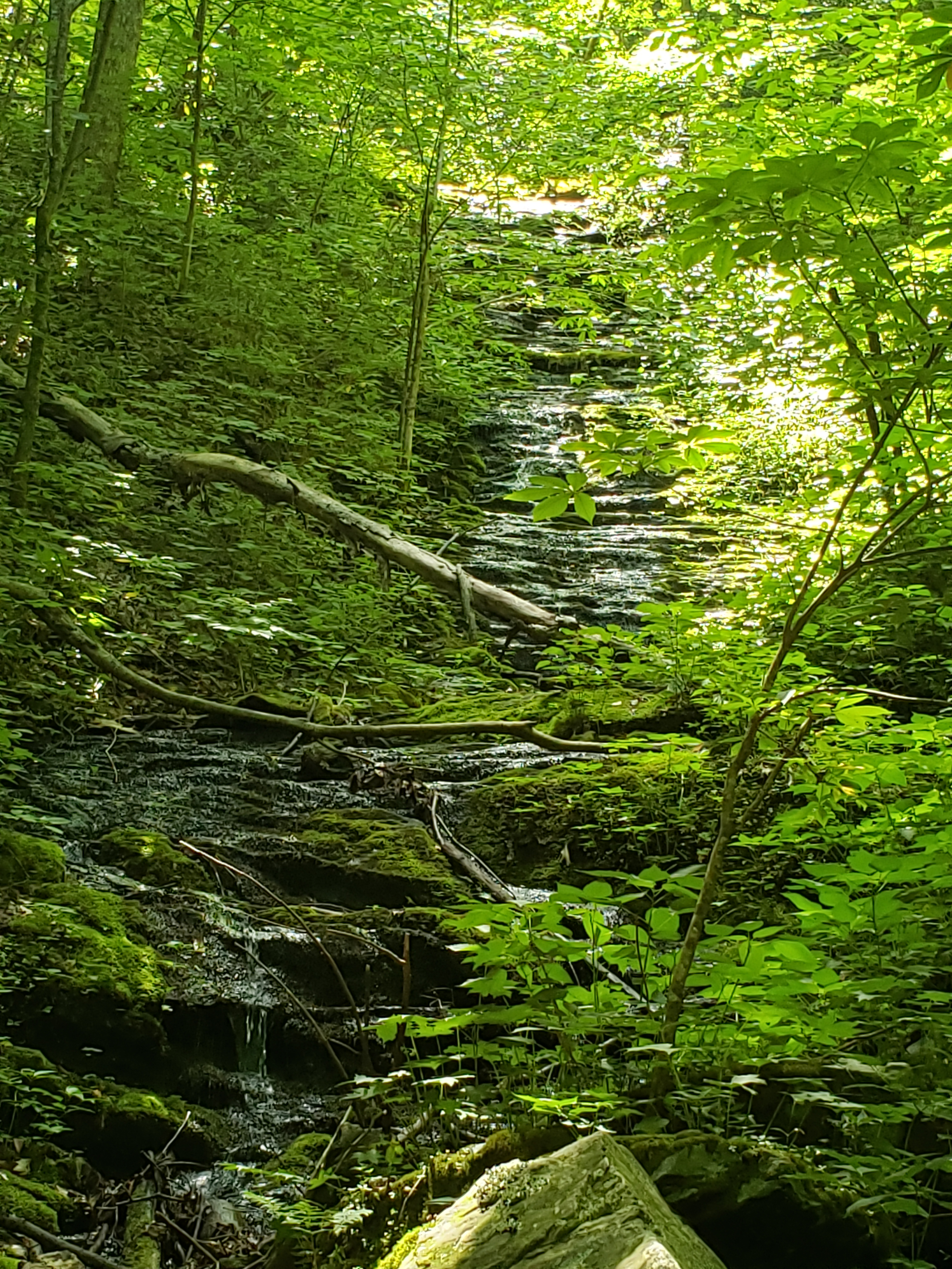
Lower Mount Cammerer passes through a several distinct “forests”, Eastern hemlock, rhododendron and deciduous woods. The clusters of trees and bushes provided protective shade from the sunny, quickly warming day.
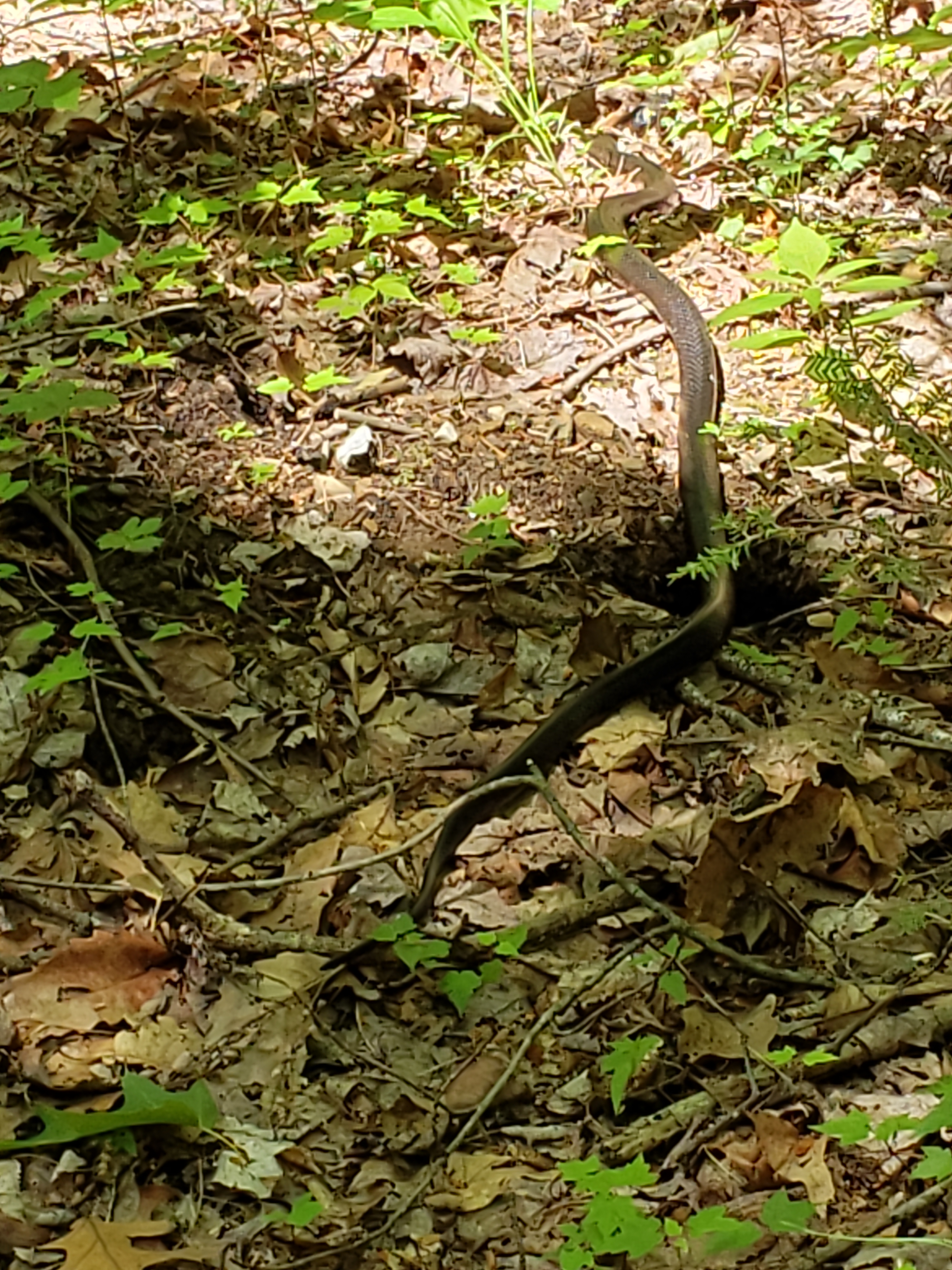
John saw the slithering guy on the right just after I missed stepping on his tail. We believe it was a black racer but neither of us are great at snake identification. Based on the head shape, we were confident he/she was not poisonous. (Photos: left-hemlock, middle-deciduous, right-snake)
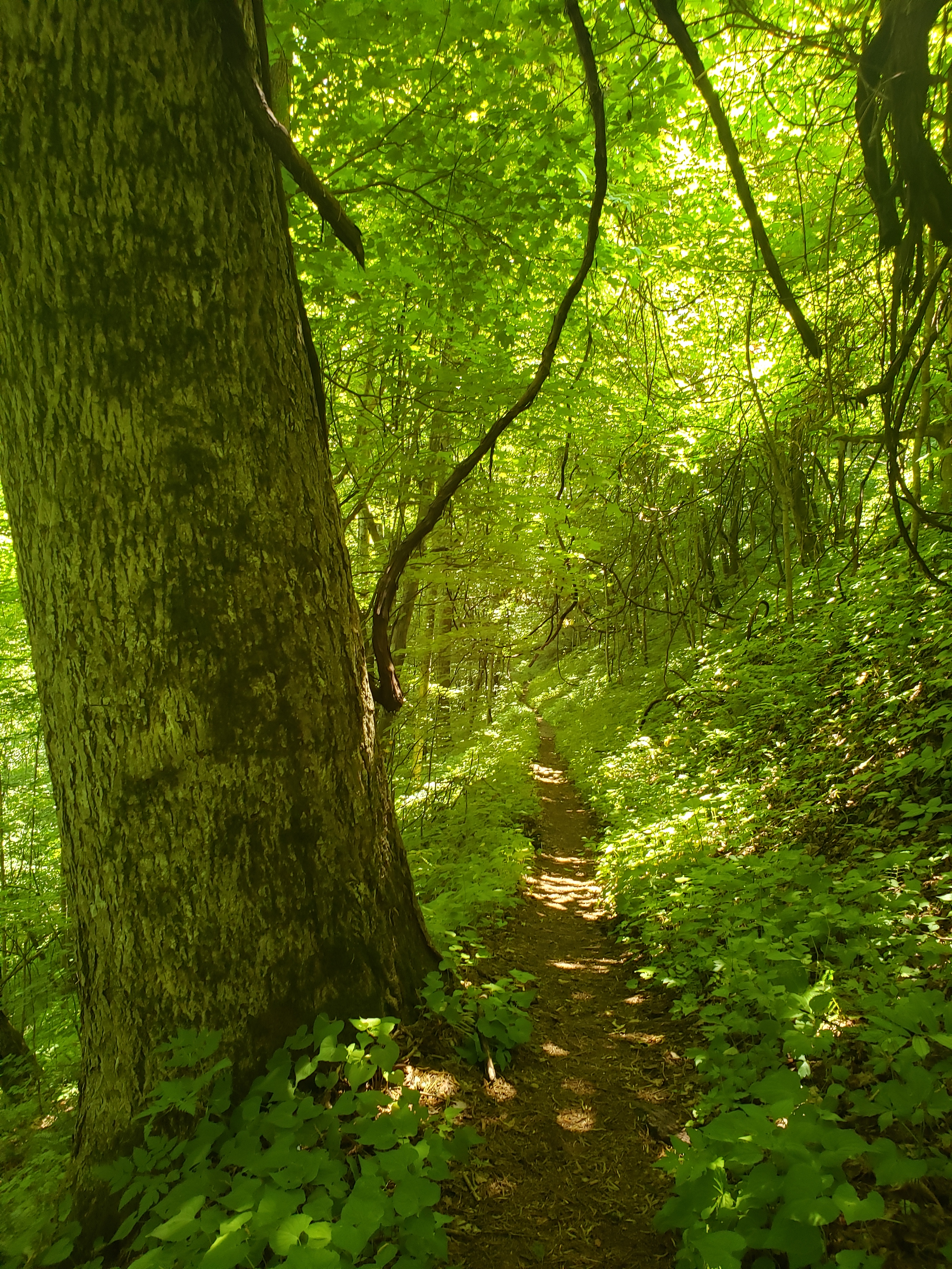
As we continued to gain elevation, the trail narrowed and became rocky. It was mostly clear of vegetation though calf level plants including stinging nettle were beginning to edge into the path. The forest smells are what I remember most about the hike, musty and earthy through the damp rhododendron clusters, dry with a hint of pine in the dry sections.
(Photos: left-shady trail with dappled sunlight, right-small, almost hidden cascade on a high rock wall)
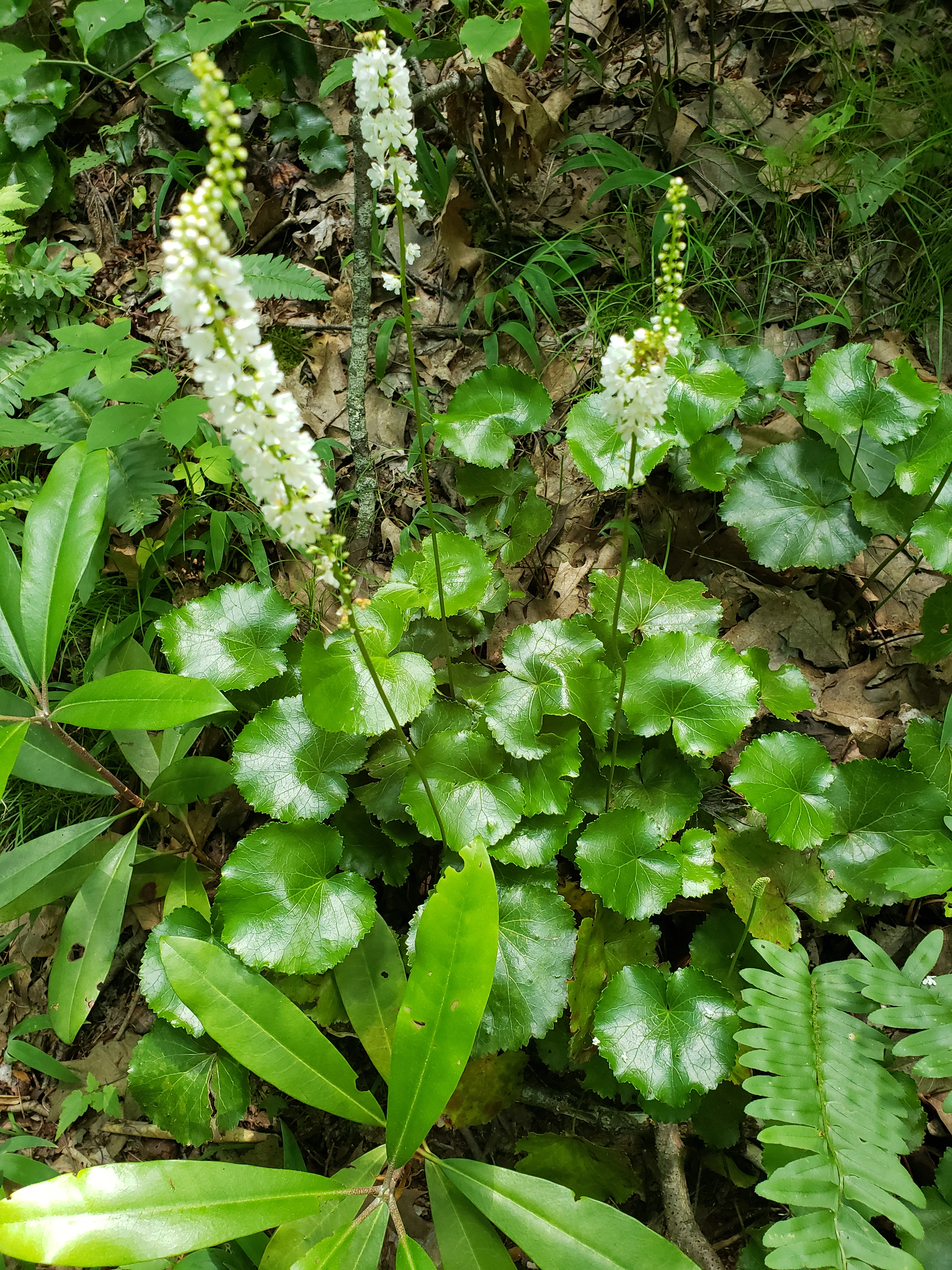
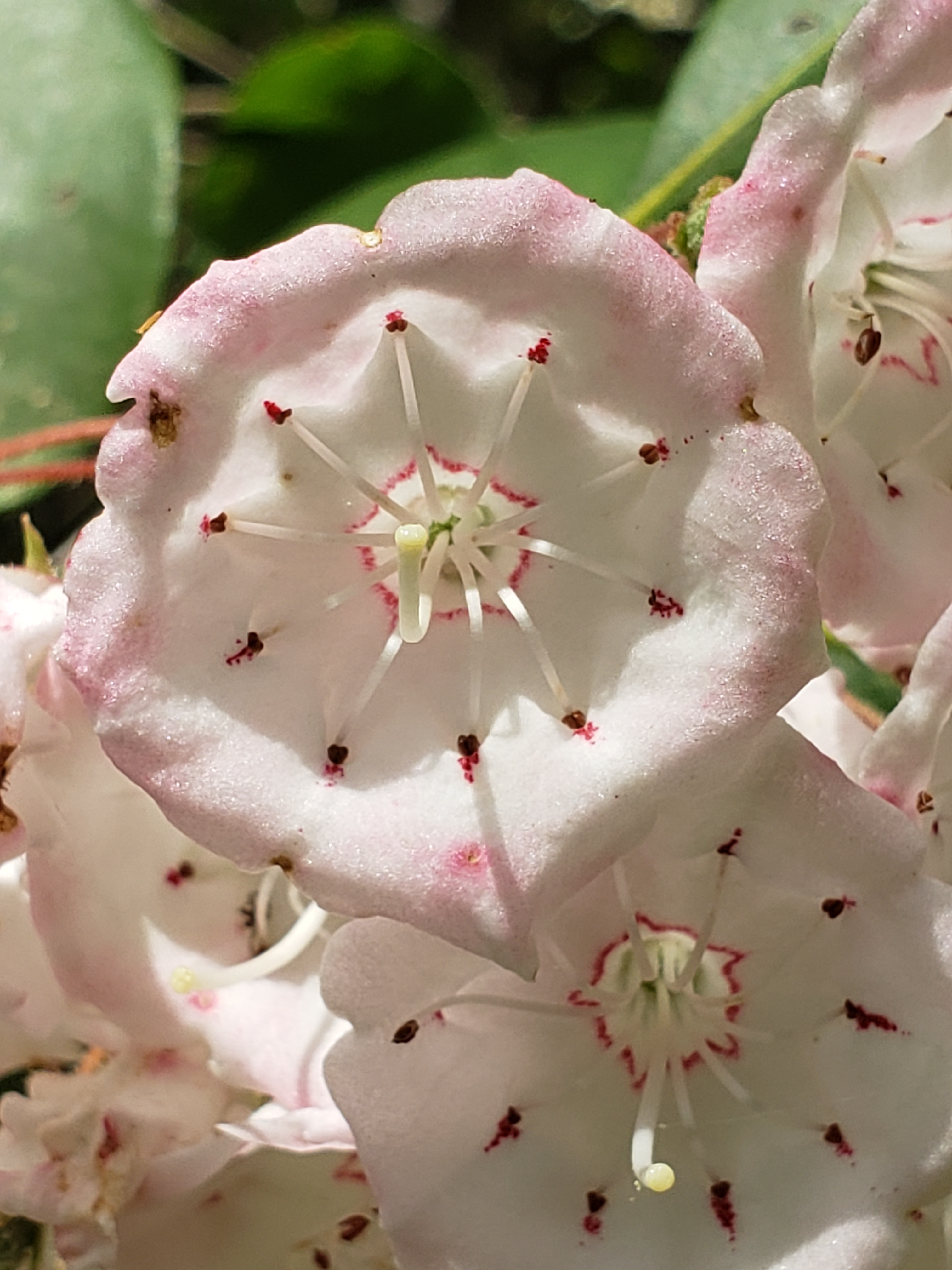
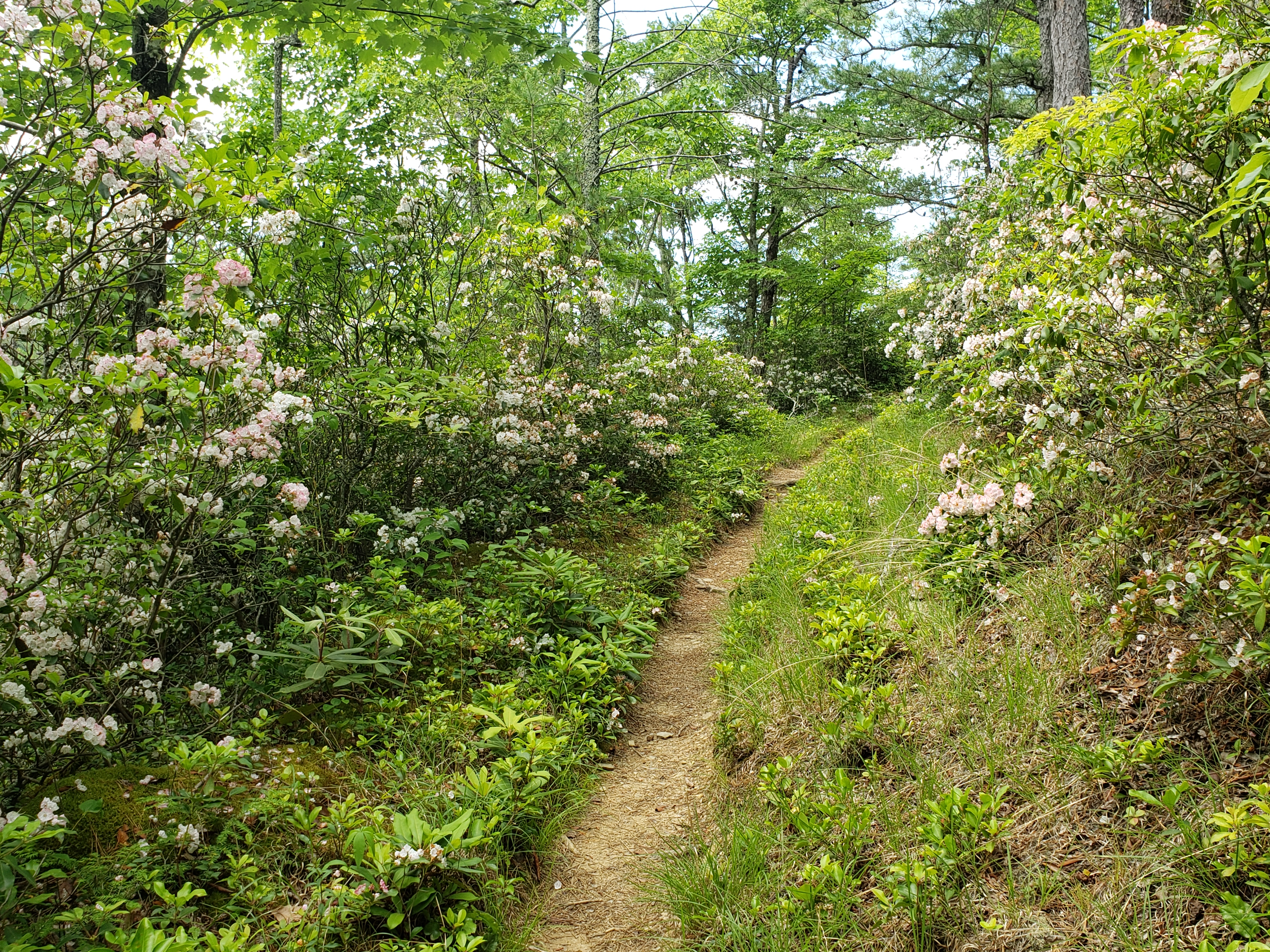
At mile 2.25, we slipped out of the shade into the sun. Our reward for a quarter mile of hiking in the sun was an incredible stretch of blooming Mountain Laurel. On the ground below the Mountain Laurel we found glorious Galax, also in full bloom.
(Photo: Blooming Galax)
(Photos: Mountain Laurel. The close up of individual flowers reminds me of confectionary sugar)
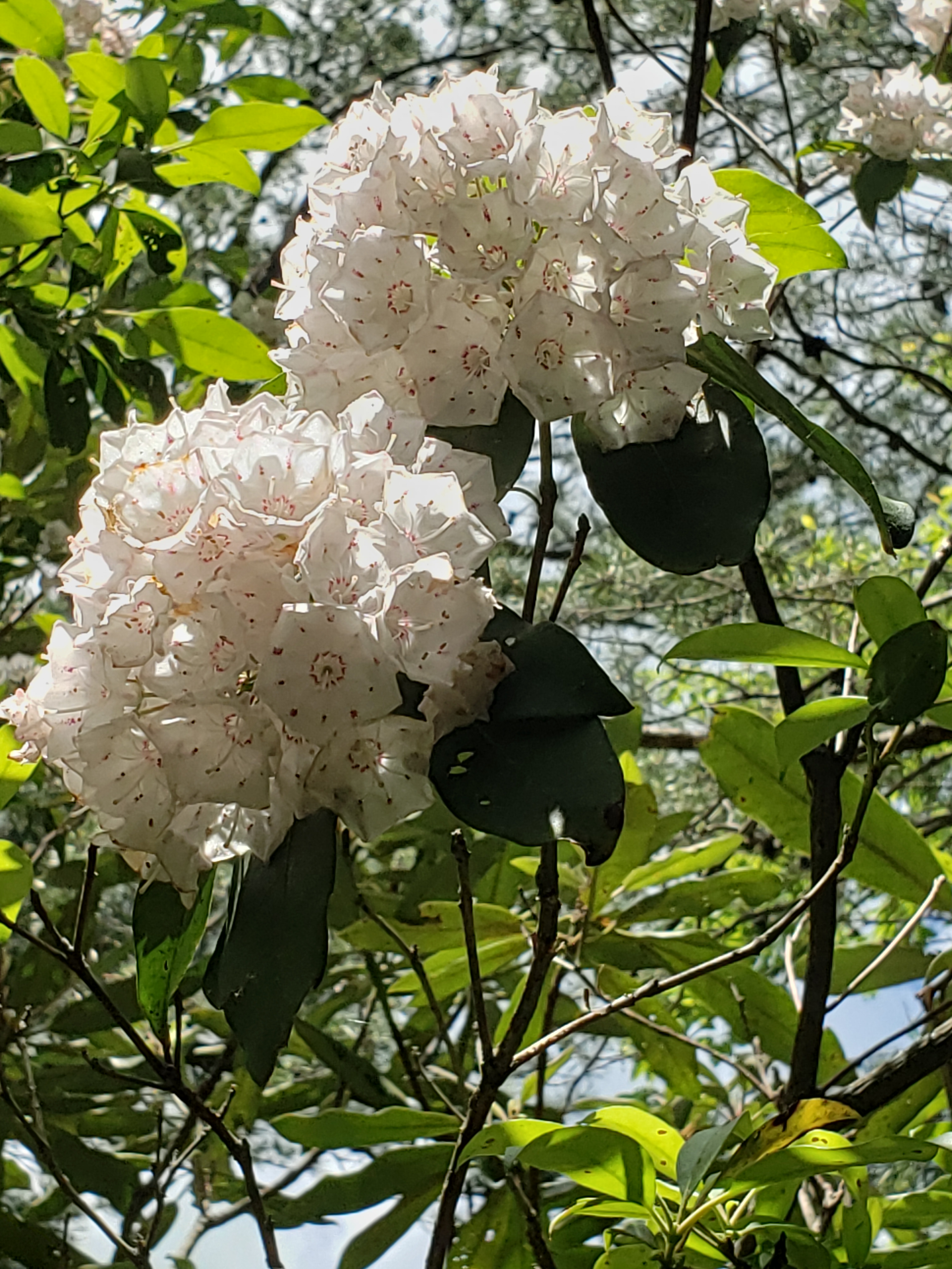
(Photo: Quarter mile of Mountain Laurel on a dry, exposed section of the trail)
Because I had stubbed my toes several times, we were watching the rocks on the trail and did not see Campsite 35 till we were on top of it. At 2680′, the campsite has several sites and provides enough space in each site for 2, maybe 3 tents. We stopped at the first site, about 3.77 miles from the parking lot. Water is not far away.
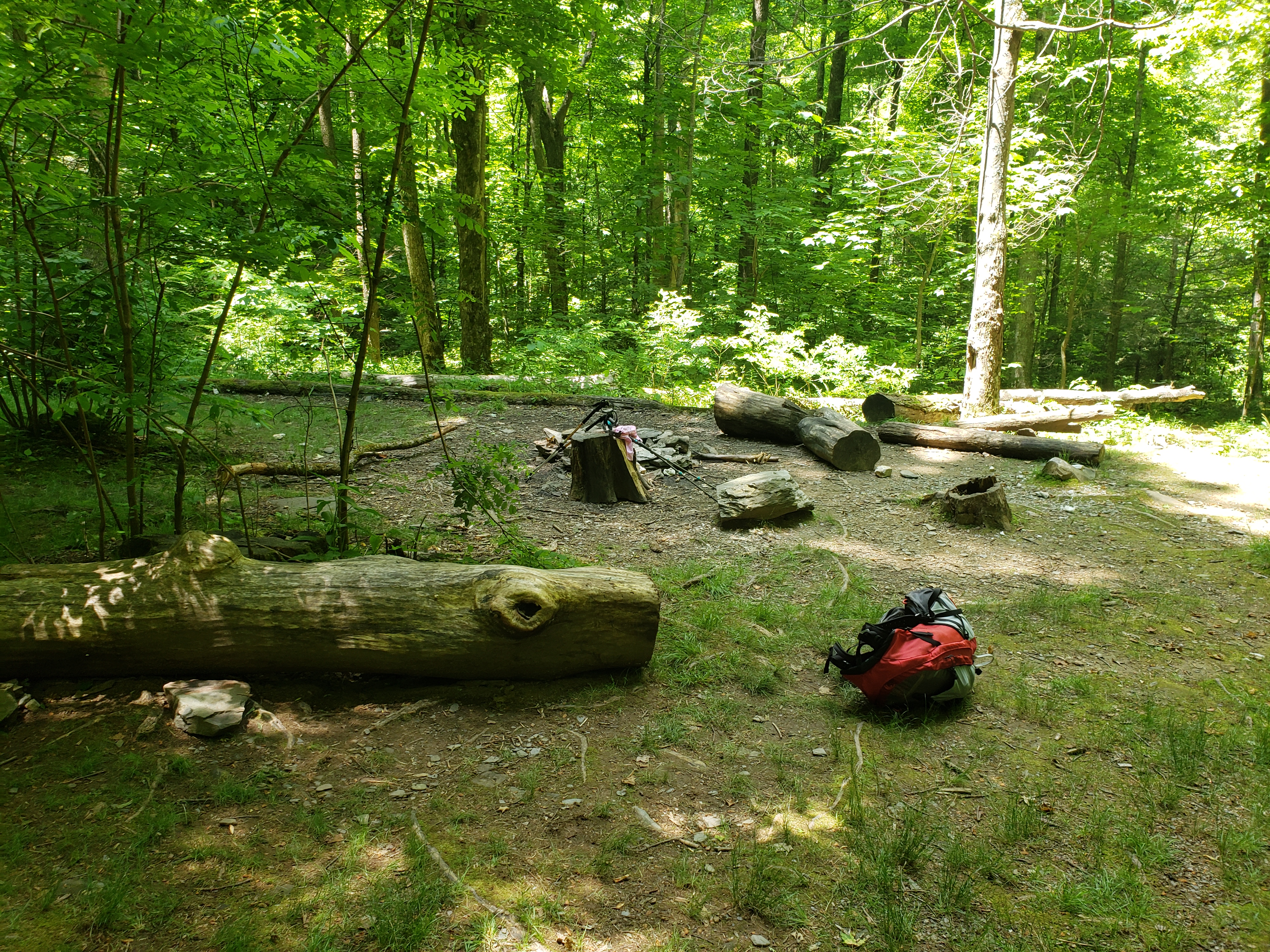
Lunch is always an anticipated event when on the trail and Campsite 35 provided a nice place to eat our cheese and crackers.

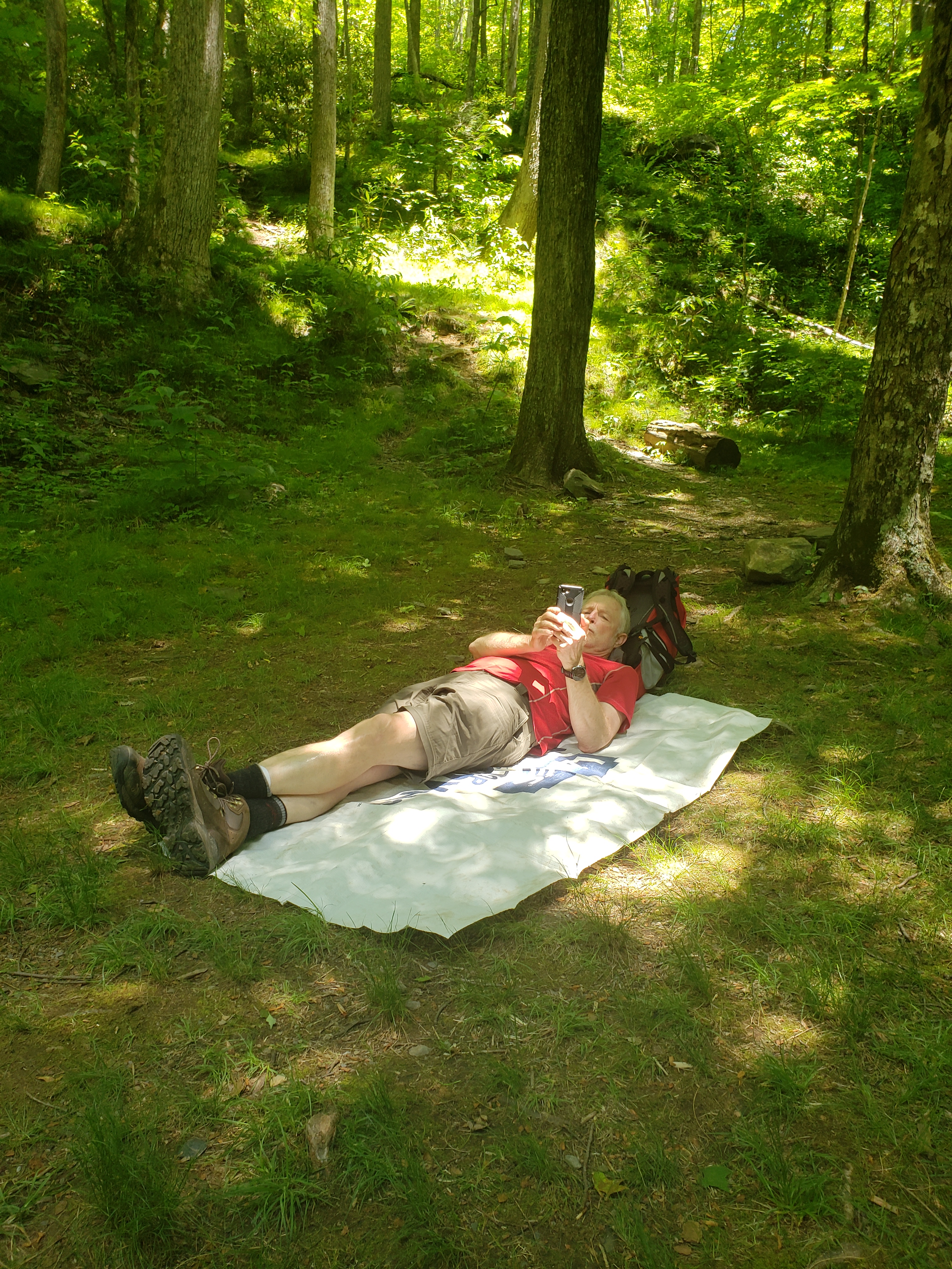
John even took a few moments to stretch out under a tree canopy and enjoy a cool breeze but we were back on the trail within 30 minutes or so.
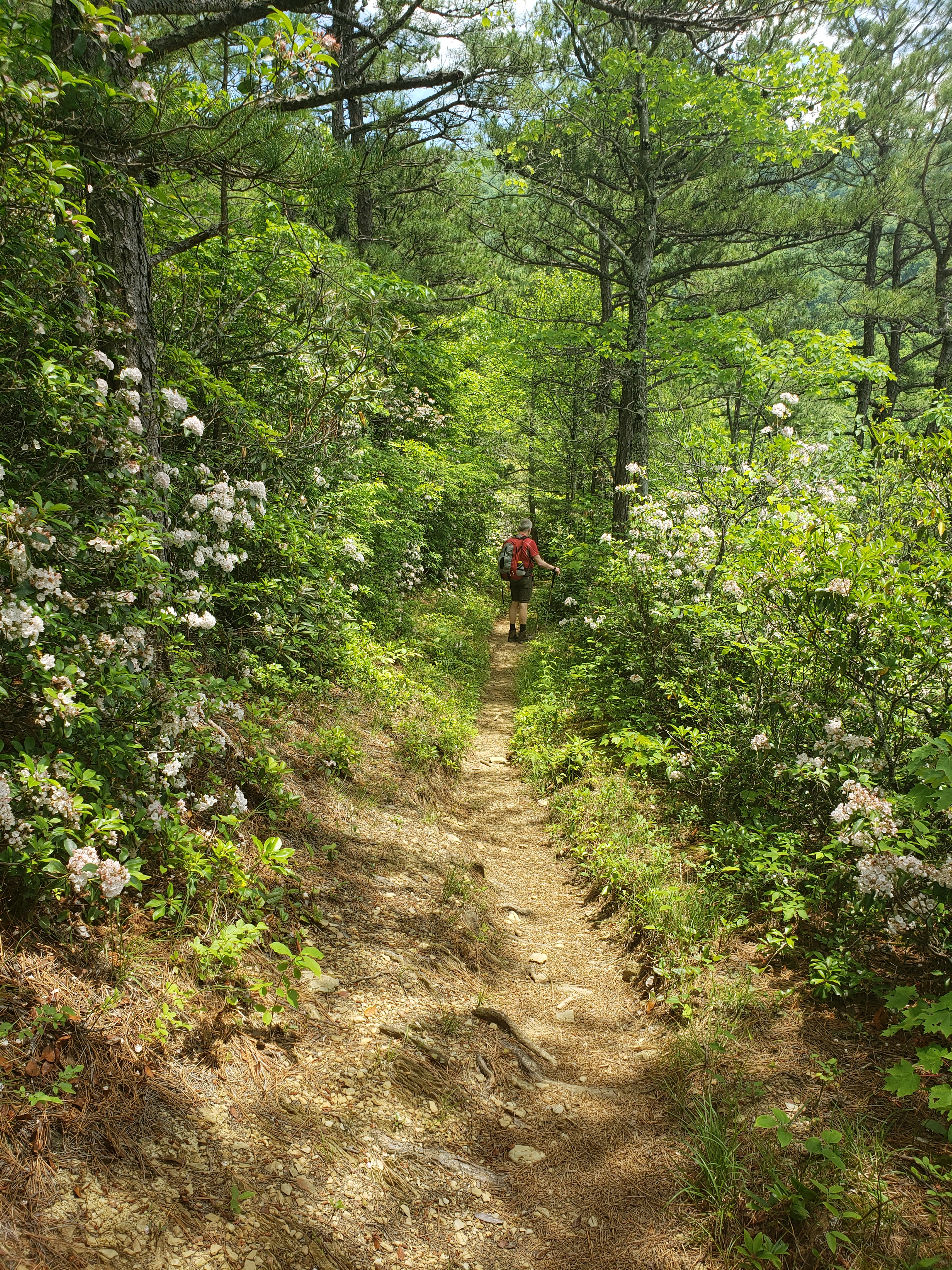
Campsite 35 was our turnaround point. A completed trail or specific destination was not our intent, only to get a few miles on our feet.
(Photos: left-John under the trees, right-back through the gorgeous Mountain Laurel lined trail)
Several vistas on the trail were not visible to us until we were on our way back to the car.
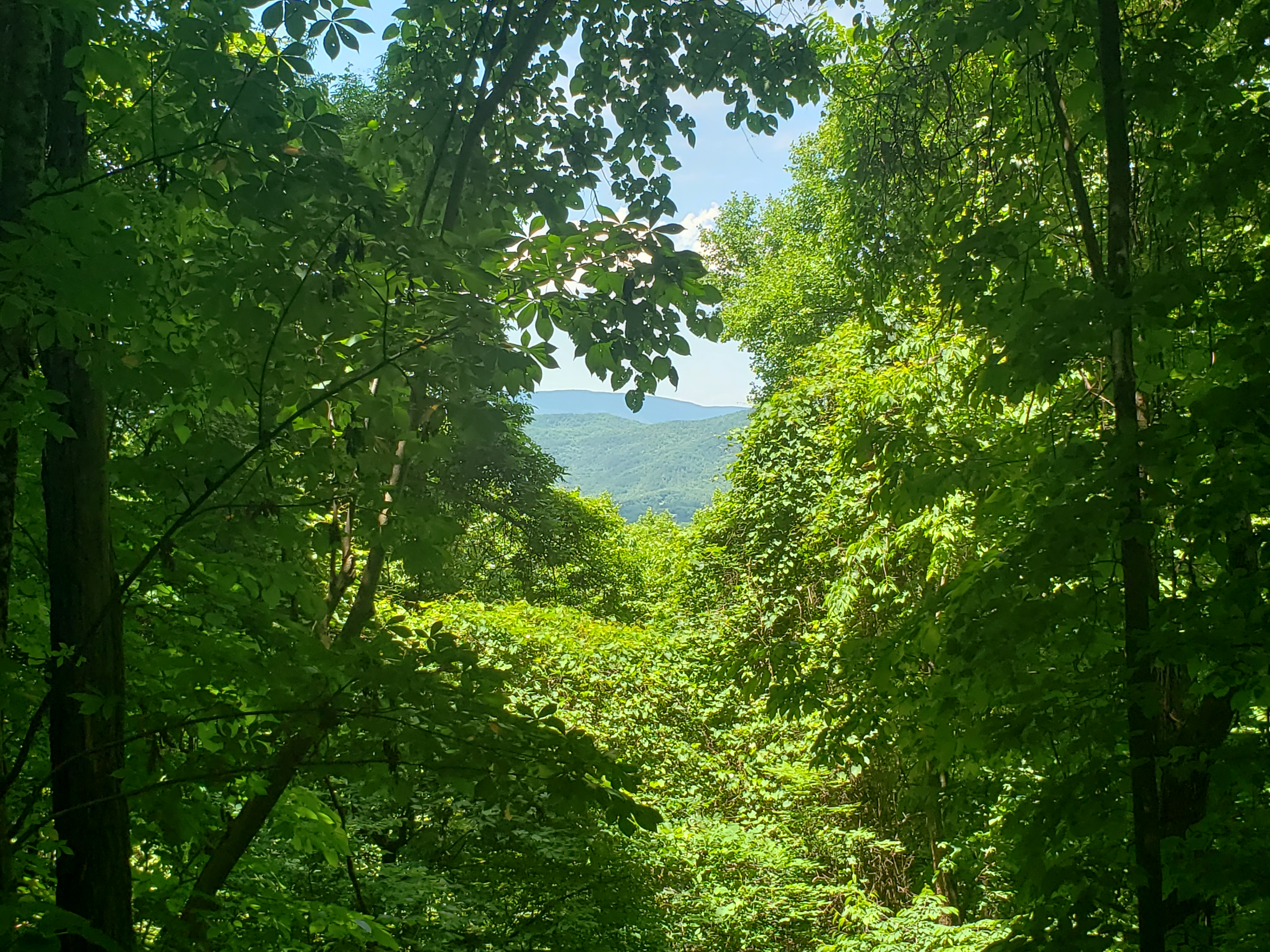
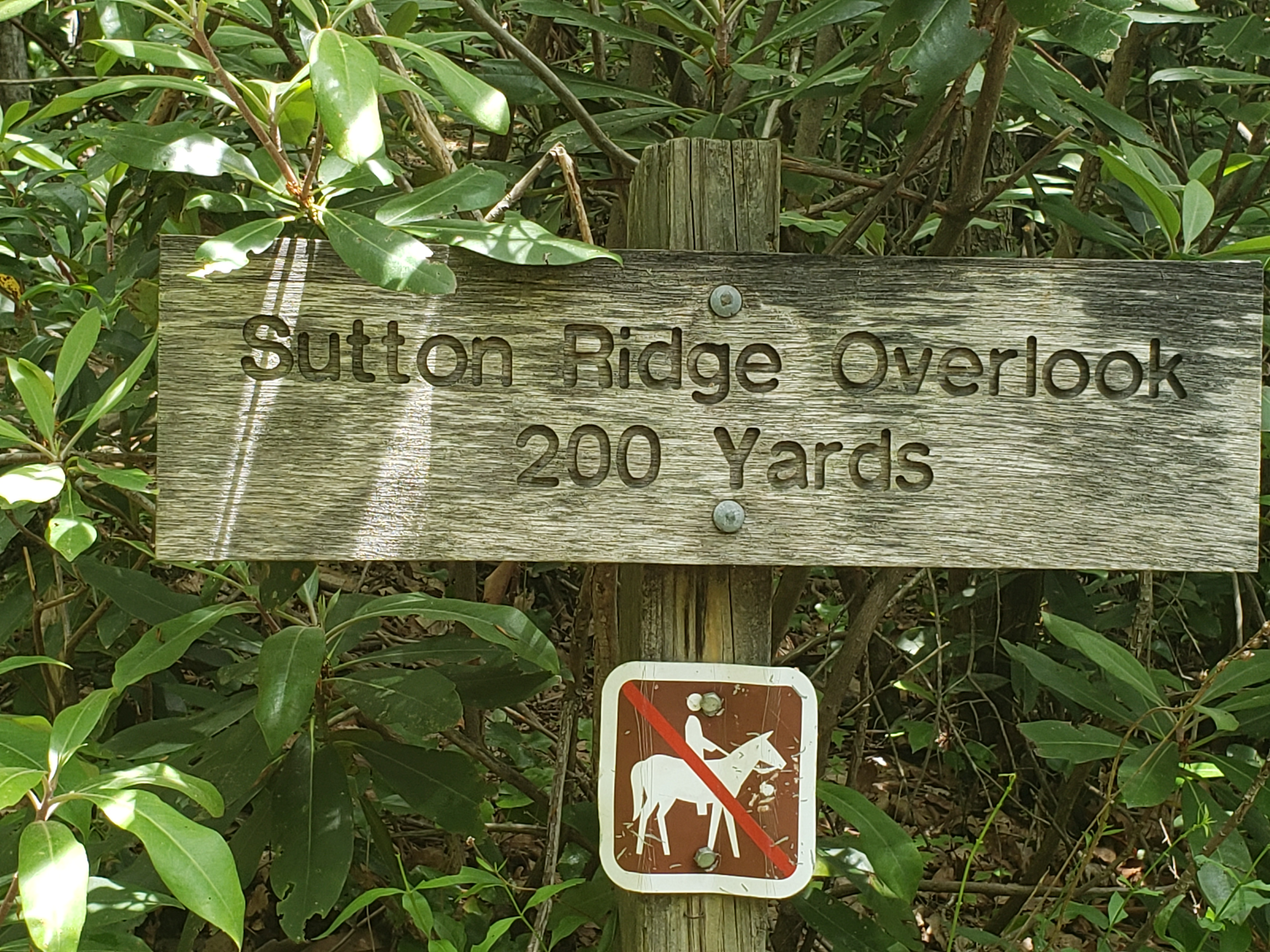
We detoured to Sutton Ridge Overlook spur trail on the return trip. The trail is located about 1.75 miles from the parking lot. While only 200 yards long, the yards are are steeply uphill. We were rewarded for our huffing and puffing with an overgrown, exposed flat clearing littered with lots of toilet paper.
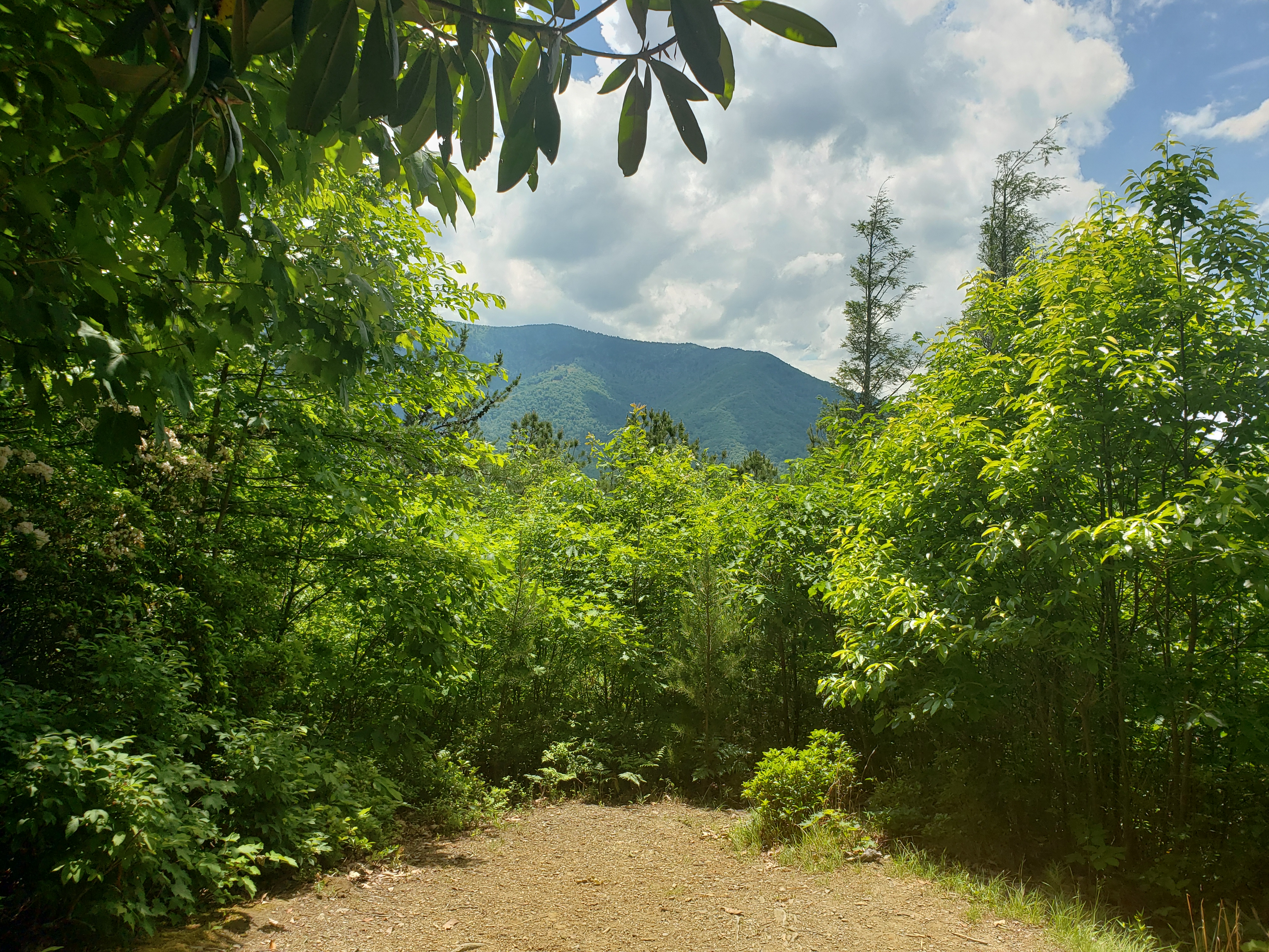
One final vista before getting back to the car!
